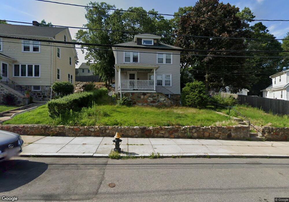
11 Farrar Ave Hyde Park, MA 02136
Hyde Park NeighborhoodEstimated Value: $551,000 - $642,338
2
Beds
2
Baths
1,350
Sq Ft
$444/Sq Ft
Est. Value
About This Home
This home is located at 11 Farrar Ave, Hyde Park, MA 02136 and is currently estimated at $598,835, approximately $443 per square foot. 11 Farrar Ave is a home located in Suffolk County with nearby schools including Boston Preparatory Charter Public School and Sacred Heart STEM School.
Ownership History
Date
Name
Owned For
Owner Type
Purchase Details
Closed on
Dec 16, 2008
Sold by
Deutsche Bank Natl T C
Bought by
Nozine Ashley and Achille Erline
Current Estimated Value
Home Financials for this Owner
Home Financials are based on the most recent Mortgage that was taken out on this home.
Original Mortgage
$268,925
Interest Rate
6.49%
Mortgage Type
Purchase Money Mortgage
Purchase Details
Closed on
Sep 7, 2007
Sold by
Houlder Joseph J and Ameriquest Mtg Co
Bought by
Deutsche Bank Natl T C
Purchase Details
Closed on
Feb 2, 1989
Sold by
Kay Vincent J Est
Bought by
Houlder Joseph J
Home Financials for this Owner
Home Financials are based on the most recent Mortgage that was taken out on this home.
Original Mortgage
$111,000
Interest Rate
10.62%
Mortgage Type
Purchase Money Mortgage
Create a Home Valuation Report for This Property
The Home Valuation Report is an in-depth analysis detailing your home's value as well as a comparison with similar homes in the area
Home Values in the Area
Average Home Value in this Area
Purchase History
| Date | Buyer | Sale Price | Title Company |
|---|---|---|---|
| Nozine Ashley | $180,000 | -- | |
| Deutsche Bank Natl T C | $269,454 | -- | |
| Houlder Joseph J | $123,900 | -- |
Source: Public Records
Mortgage History
| Date | Status | Borrower | Loan Amount |
|---|---|---|---|
| Open | Houlder Joseph J | $273,307 | |
| Closed | Nozine Ashley | $268,925 | |
| Previous Owner | Houlder Joseph J | $111,000 |
Source: Public Records
Tax History Compared to Growth
Tax History
| Year | Tax Paid | Tax Assessment Tax Assessment Total Assessment is a certain percentage of the fair market value that is determined by local assessors to be the total taxable value of land and additions on the property. | Land | Improvement |
|---|---|---|---|---|
| 2025 | $6,403 | $552,900 | $171,400 | $381,500 |
| 2024 | $5,803 | $532,400 | $176,800 | $355,600 |
| 2023 | $5,342 | $497,400 | $165,200 | $332,200 |
| 2022 | $5,012 | $460,700 | $153,000 | $307,700 |
| 2021 | $4,436 | $415,700 | $141,700 | $274,000 |
| 2020 | $3,911 | $370,400 | $130,000 | $240,400 |
| 2019 | $3,719 | $352,800 | $105,100 | $247,700 |
| 2018 | $3,521 | $336,000 | $105,100 | $230,900 |
| 2017 | $3,234 | $305,400 | $105,100 | $200,300 |
| 2016 | $3,295 | $299,500 | $105,100 | $194,400 |
| 2015 | $3,265 | $269,600 | $94,400 | $175,200 |
| 2014 | $3,166 | $251,700 | $94,400 | $157,300 |
Source: Public Records
Map
Nearby Homes
- 265 Hebron St
- 0 Tina Ave
- 34 Ridlon Rd
- 179 Hebron St
- 72 Livermore St
- 231 Itasca St
- 839-843 Cummins Hwy
- 514 Metropolitan Ave Unit 514A
- 175 Clare Ave Unit B3
- 7 Winborough St
- 492 Metropolitan Ave
- 895 Hyde Park Ave Unit 2
- 87 Clare Ave
- 656-658 E Metropolitan Ave
- 770 Cummins Hwy Unit 1
- 770 Cummins Hwy Unit 22
- 27 Lexington Ave
- 23 Caton St
- 90 Hollingsworth St
- 10 Brockton St