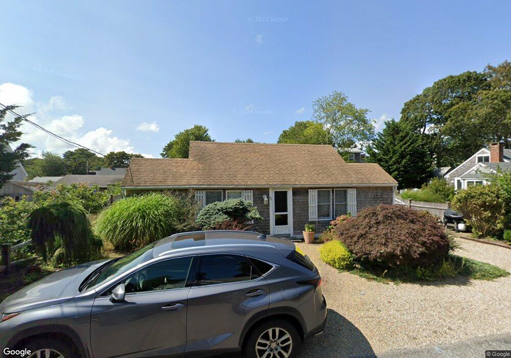
11 Ferncliff Rd Dennis Port, MA 02639
Dennis Port NeighborhoodEstimated Value: $458,000 - $540,958
2
Beds
1
Bath
800
Sq Ft
$637/Sq Ft
Est. Value
About This Home
This home is located at 11 Ferncliff Rd, Dennis Port, MA 02639 and is currently estimated at $509,240, approximately $636 per square foot. 11 Ferncliff Rd is a home located in Barnstable County with nearby schools including Dennis-Yarmouth Regional High School and St. Pius X. School.
Ownership History
Date
Name
Owned For
Owner Type
Purchase Details
Closed on
Jun 23, 1994
Sold by
Fitz Catherine A and Giglio Paul C
Bought by
Holtzman Susan
Current Estimated Value
Home Financials for this Owner
Home Financials are based on the most recent Mortgage that was taken out on this home.
Original Mortgage
$54,600
Interest Rate
8.74%
Mortgage Type
Purchase Money Mortgage
Create a Home Valuation Report for This Property
The Home Valuation Report is an in-depth analysis detailing your home's value as well as a comparison with similar homes in the area
Home Values in the Area
Average Home Value in this Area
Purchase History
| Date | Buyer | Sale Price | Title Company |
|---|---|---|---|
| Holtzman Susan | $78,000 | -- |
Source: Public Records
Mortgage History
| Date | Status | Borrower | Loan Amount |
|---|---|---|---|
| Closed | Holtzman Susan | $54,600 |
Source: Public Records
Tax History Compared to Growth
Tax History
| Year | Tax Paid | Tax Assessment Tax Assessment Total Assessment is a certain percentage of the fair market value that is determined by local assessors to be the total taxable value of land and additions on the property. | Land | Improvement |
|---|---|---|---|---|
| 2025 | $2,136 | $493,200 | $269,000 | $224,200 |
| 2024 | $1,977 | $450,300 | $258,700 | $191,600 |
| 2023 | $1,912 | $409,400 | $235,200 | $174,200 |
| 2022 | $1,755 | $313,400 | $185,400 | $128,000 |
| 2021 | $1,722 | $285,500 | $181,700 | $103,800 |
| 2020 | $1,683 | $275,900 | $181,700 | $94,200 |
| 2019 | $1,710 | $277,200 | $193,500 | $83,700 |
| 2018 | $1,656 | $261,200 | $184,200 | $77,000 |
| 2017 | $1,501 | $244,100 | $169,600 | $74,500 |
| 2016 | $1,461 | $223,700 | $160,000 | $63,700 |
| 2015 | $1,432 | $223,700 | $160,000 | $63,700 |
| 2014 | $1,359 | $214,000 | $150,300 | $63,700 |
Source: Public Records
Map
Nearby Homes
- 22 Ferncliff Rd
- 102 Sea St
- 37-A Beach Hills Rd
- 37 Beach Hills Rd
- 262 Old Wharf Rd Unit 67
- 262 Old Wharf Rd Unit 5
- 262 Old Wharf Rd Unit 5
- 262 Old Wharf Rd Unit 20
- 262 Old Wharf Rd Unit 87
- 402 Old Wharf Rd
- 402 Old Wharf Rd
- 405 Old Wharf Rd Unit B204
- 405 Old Wharf Rd Unit B204
- 31 Easy St
- 241 Old Wharf Rd Unit 82
- 241 Old Wharf Rd Unit 127
- 241 Old Wharf Rd Unit 90
- 11 Ocean Park W
- 22 Wixon Rd
- 9 Chase Ave Unit 6