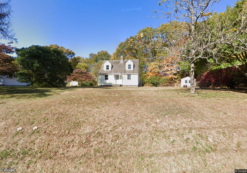
11 Ferry Rd Chester, CT 06412
Estimated Value: $330,000 - $462,000
2
Beds
2
Baths
1,188
Sq Ft
$328/Sq Ft
Est. Value
About This Home
This home is located at 11 Ferry Rd, Chester, CT 06412 and is currently estimated at $389,636, approximately $327 per square foot. 11 Ferry Rd is a home located in Middlesex County with nearby schools including Valley Regional High School.
Ownership History
Date
Name
Owned For
Owner Type
Purchase Details
Closed on
Mar 9, 2017
Sold by
Simmons Stacey P
Bought by
Matt Andrew J and Matt Martha E
Current Estimated Value
Home Financials for this Owner
Home Financials are based on the most recent Mortgage that was taken out on this home.
Original Mortgage
$211,000
Outstanding Balance
$175,070
Interest Rate
4.19%
Mortgage Type
Purchase Money Mortgage
Estimated Equity
$214,566
Purchase Details
Closed on
Sep 16, 2005
Sold by
Bonanomi Peter and Bonanomi Attillio
Bought by
Simmons Stacey
Home Financials for this Owner
Home Financials are based on the most recent Mortgage that was taken out on this home.
Original Mortgage
$192,500
Interest Rate
5.84%
Create a Home Valuation Report for This Property
The Home Valuation Report is an in-depth analysis detailing your home's value as well as a comparison with similar homes in the area
Home Values in the Area
Average Home Value in this Area
Purchase History
| Date | Buyer | Sale Price | Title Company |
|---|---|---|---|
| Matt Andrew J | $235,000 | -- | |
| Matt Andrew J | $235,000 | -- | |
| Simmons Stacey | $275,000 | -- | |
| Simmons Stacey | $275,000 | -- |
Source: Public Records
Mortgage History
| Date | Status | Borrower | Loan Amount |
|---|---|---|---|
| Open | Simmons Stacey | $211,000 | |
| Closed | Simmons Stacey | $211,000 | |
| Previous Owner | Simmons Stacey | $167,000 | |
| Previous Owner | Simmons Stacey | $192,500 |
Source: Public Records
Tax History
| Year | Tax Paid | Tax Assessment Tax Assessment Total Assessment is a certain percentage of the fair market value that is determined by local assessors to be the total taxable value of land and additions on the property. | Land | Improvement |
|---|---|---|---|---|
| 2025 | $5,681 | $209,790 | $63,000 | $146,790 |
| 2024 | $5,153 | $210,770 | $63,000 | $147,770 |
| 2023 | $4,477 | $150,730 | $72,450 | $78,280 |
| 2022 | $4,447 | $150,730 | $72,450 | $78,280 |
| 2021 | $5,383 | $150,730 | $72,450 | $78,280 |
| 2020 | $5,407 | $150,730 | $72,450 | $78,280 |
| 2019 | $4,340 | $150,730 | $72,450 | $78,280 |
| 2018 | $4,196 | $154,790 | $76,480 | $78,310 |
| 2017 | $4,080 | $154,790 | $76,480 | $78,310 |
| 2016 | $3,121 | $154,790 | $76,480 | $78,310 |
| 2015 | $3,919 | $154,790 | $76,480 | $78,310 |
| 2014 | $3,842 | $154,790 | $76,480 | $78,310 |
Source: Public Records
Map
Nearby Homes
Your Personal Tour Guide
Ask me questions while you tour the home.