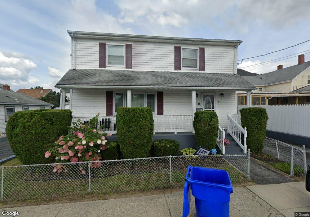
11 Foss Ave Pawtucket, RI 02860
Estimated Value: $383,000 - $446,000
3
Beds
2
Baths
1,792
Sq Ft
$236/Sq Ft
Est. Value
About This Home
This home is located at 11 Foss Ave, Pawtucket, RI 02860 and is currently estimated at $423,040, approximately $236 per square foot. 11 Foss Ave is a home located in Providence County with nearby schools including International Charter School and Blackstone Valley Prep Junior High School.
Ownership History
Date
Name
Owned For
Owner Type
Purchase Details
Closed on
Jul 5, 2005
Sold by
Simon Jean May
Bought by
Ballah David
Current Estimated Value
Home Financials for this Owner
Home Financials are based on the most recent Mortgage that was taken out on this home.
Original Mortgage
$225,000
Interest Rate
5.73%
Mortgage Type
Purchase Money Mortgage
Purchase Details
Closed on
Apr 23, 2003
Sold by
Baptista Boaventura and Baptista Maria
Bought by
Whyte Tricia J
Home Financials for this Owner
Home Financials are based on the most recent Mortgage that was taken out on this home.
Original Mortgage
$38,000
Interest Rate
5.93%
Create a Home Valuation Report for This Property
The Home Valuation Report is an in-depth analysis detailing your home's value as well as a comparison with similar homes in the area
Home Values in the Area
Average Home Value in this Area
Purchase History
| Date | Buyer | Sale Price | Title Company |
|---|---|---|---|
| Ballah David | $240,000 | -- | |
| Whyte Tricia J | $160,000 | -- |
Source: Public Records
Mortgage History
| Date | Status | Borrower | Loan Amount |
|---|---|---|---|
| Open | Whyte Tricia J | $199,400 | |
| Closed | Whyte Tricia J | $225,000 | |
| Previous Owner | Whyte Tricia J | $38,000 | |
| Previous Owner | Whyte Tricia J | $135,915 |
Source: Public Records
Tax History Compared to Growth
Tax History
| Year | Tax Paid | Tax Assessment Tax Assessment Total Assessment is a certain percentage of the fair market value that is determined by local assessors to be the total taxable value of land and additions on the property. | Land | Improvement |
|---|---|---|---|---|
| 2024 | $4,257 | $345,000 | $117,700 | $227,300 |
| 2023 | $4,547 | $268,400 | $53,000 | $215,400 |
| 2022 | $4,450 | $268,400 | $53,000 | $215,400 |
| 2021 | $4,450 | $268,400 | $53,000 | $215,400 |
| 2020 | $4,521 | $216,400 | $53,700 | $162,700 |
| 2019 | $4,521 | $216,400 | $53,700 | $162,700 |
| 2018 | $4,356 | $216,400 | $53,700 | $162,700 |
| 2017 | $4,408 | $194,000 | $40,600 | $153,400 |
| 2016 | $4,247 | $194,000 | $40,600 | $153,400 |
| 2015 | $4,247 | $194,000 | $40,600 | $153,400 |
| 2014 | $4,727 | $205,000 | $52,200 | $152,800 |
Source: Public Records
Map
Nearby Homes
- 381 Weeden St
- 390 Weeden St
- 580 Lonsdale Ave
- 584 Lonsdale Ave Unit 586
- 10 Barber Ave
- 264 Weeden St
- 126 Conant St
- 61 Orchard St Unit 61
- 71 Brook St
- 75 Baldwin St
- 533 Weeden St
- 20 Hope St
- 14 Martin Ct
- 0 Hazel St
- 193 Harrison St
- 58 Lawn Ave
- 75 Elder St
- 76 Slater St
- 167 Lonsdale Ave
- 722 Dexter St Unit 726
- 21 Foss Ave
- 416 Lonsdale Ave
- 14 Privet St
- 27 Foss Ave
- 22 Privet St
- 28 Privet St
- 35 Foss Ave
- 430 Lonsdale Ave
- 59 Florence St
- 394 Lonsdale Ave
- 34 Privet St
- 39 Foss Ave
- 423 Lonsdale Ave
- 388 Lonsdale Ave
- 413 Lonsdale Ave
- 407 Lonsdale Ave
- 440 Lonsdale Ave
- 42 Privet St Unit 2
- 384 Lonsdale Ave
- 38 Privet St