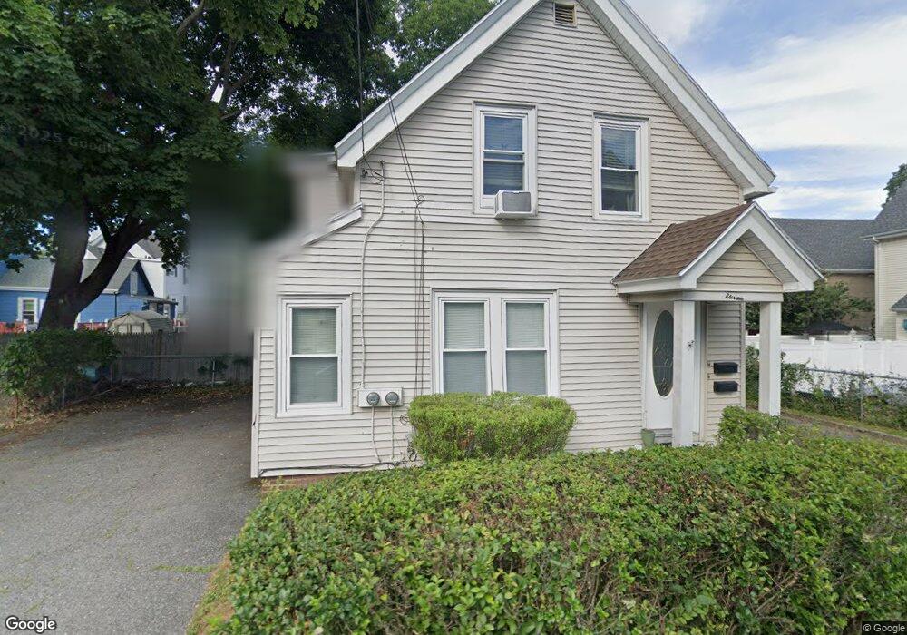
11 Foss Ave Saugus, MA 01906
Cliftondale NeighborhoodEstimated Value: $616,124 - $707,000
3
Beds
2
Baths
1,486
Sq Ft
$443/Sq Ft
Est. Value
About This Home
This home is located at 11 Foss Ave, Saugus, MA 01906 and is currently estimated at $658,031, approximately $442 per square foot. 11 Foss Ave is a home located in Essex County with nearby schools including Saugus High School, Pioneer Charter School Of Science II, and Sacred Heart School.
Ownership History
Date
Name
Owned For
Owner Type
Purchase Details
Closed on
Jun 28, 2002
Sold by
Flynn Shawn M
Bought by
Hall Gary F
Current Estimated Value
Purchase Details
Closed on
Dec 31, 1998
Sold by
Marshall William J and Marshall Marie C
Bought by
Flynn Shawn M
Purchase Details
Closed on
Nov 2, 1989
Sold by
Hatfield Eleanor
Bought by
Marshall William
Create a Home Valuation Report for This Property
The Home Valuation Report is an in-depth analysis detailing your home's value as well as a comparison with similar homes in the area
Home Values in the Area
Average Home Value in this Area
Purchase History
| Date | Buyer | Sale Price | Title Company |
|---|---|---|---|
| Hall Gary F | $300,000 | -- | |
| Flynn Shawn M | $155,500 | -- | |
| Marshall William | $120,000 | -- | |
| Marshall William | $120,000 | -- |
Source: Public Records
Mortgage History
| Date | Status | Borrower | Loan Amount |
|---|---|---|---|
| Open | Marshall William | $235,042 | |
| Closed | Marshall William | $64,100 |
Source: Public Records
Tax History Compared to Growth
Tax History
| Year | Tax Paid | Tax Assessment Tax Assessment Total Assessment is a certain percentage of the fair market value that is determined by local assessors to be the total taxable value of land and additions on the property. | Land | Improvement |
|---|---|---|---|---|
| 2025 | $6,641 | $621,800 | $298,200 | $323,600 |
| 2024 | $6,376 | $598,700 | $281,200 | $317,500 |
| 2023 | $6,196 | $550,300 | $247,100 | $303,200 |
| 2022 | $5,844 | $486,600 | $226,700 | $259,900 |
| 2021 | $5,562 | $450,700 | $196,800 | $253,900 |
| 2020 | $5,130 | $430,400 | $187,500 | $242,900 |
| 2019 | $4,773 | $391,900 | $170,400 | $221,500 |
| 2018 | $4,331 | $374,000 | $165,300 | $208,700 |
| 2017 | $4,001 | $332,000 | $154,200 | $177,800 |
| 2016 | $3,173 | $260,100 | $154,000 | $106,100 |
| 2015 | $2,979 | $247,800 | $146,700 | $101,100 |
| 2014 | $2,919 | $251,400 | $146,700 | $104,700 |
Source: Public Records
Map
Nearby Homes
- 4 Foss Ave
- 20 Oak Hill Rd
- 483 Central St Unit A
- 24 Endicott St
- 32 Staaf Rd
- 335 Lincoln Ave
- 9 Oakwood Ave
- 6 Sim Rd Unit 1
- 18 Nason Rd
- 32-34 Mount Vernon St
- 86 School St
- 6 Saugus Ave Unit A
- 16 2nd St
- 28 Eustis St
- 22 Laconia Ave
- 13 Seaview Ave
- 17 Elaine Ave
- 22 Seagirt Ave
- 33 Springdale Ave
- 292 Salem St Unit 503
- 7 Foss Ave Unit B
- 7 Foss Ave Unit A
- 7 Foss Ave Unit 1
- 7 Foss Ave
- 7R Foss Ave
- 12 Foss Ave
- 10 Jackson St
- 501-503 Central St
- 501 Central St Unit 503
- 12 Oak Hill Rd
- 497 Central St
- 8 Jackson St
- 5 Foss Ave
- 505 Central St
- 507 Central St
- 15 Oak Hill Rd
- 16R Jackson St
- 16 Jackson St
- 509 Central St
- 4 Foss Ave Unit Ave