11 Friars Way Sanford, ME 04073
South Sanford NeighborhoodEstimated Value: $443,000 - $509,000
3
Beds
2
Baths
1,464
Sq Ft
$326/Sq Ft
Est. Value
About This Home
This home is located at 11 Friars Way, Sanford, ME 04073 and is currently estimated at $477,906, approximately $326 per square foot. 11 Friars Way is a home located in York County.
Ownership History
Date
Name
Owned For
Owner Type
Purchase Details
Closed on
Jun 27, 2024
Sold by
Doyle Lawrence A and Doyle Mary R
Bought by
Doyle Lt and Doyle
Current Estimated Value
Purchase Details
Closed on
Jan 31, 2006
Sold by
Chace Jeanine M and Chace Peter C
Bought by
Doyle Mary R and Doyle Lawrence A
Home Financials for this Owner
Home Financials are based on the most recent Mortgage that was taken out on this home.
Original Mortgage
$200,000
Interest Rate
6.34%
Mortgage Type
Purchase Money Mortgage
Create a Home Valuation Report for This Property
The Home Valuation Report is an in-depth analysis detailing your home's value as well as a comparison with similar homes in the area
Home Values in the Area
Average Home Value in this Area
Purchase History
| Date | Buyer | Sale Price | Title Company |
|---|---|---|---|
| Doyle Lt | -- | None Available | |
| Doyle Lt | -- | None Available | |
| Doyle Mary R | -- | -- | |
| Doyle Mary R | -- | -- | |
| Doyle Mary R | -- | -- |
Source: Public Records
Mortgage History
| Date | Status | Borrower | Loan Amount |
|---|---|---|---|
| Previous Owner | Doyle Mary R | $200,000 |
Source: Public Records
Tax History Compared to Growth
Tax History
| Year | Tax Paid | Tax Assessment Tax Assessment Total Assessment is a certain percentage of the fair market value that is determined by local assessors to be the total taxable value of land and additions on the property. | Land | Improvement |
|---|---|---|---|---|
| 2025 | $5,549 | $324,500 | $59,100 | $265,400 |
| 2024 | $5,237 | $324,500 | $59,100 | $265,400 |
| 2023 | $4,913 | $324,500 | $59,100 | $265,400 |
| 2022 | $4,803 | $324,500 | $59,100 | $265,400 |
| 2021 | $4,965 | $273,100 | $59,100 | $214,000 |
| 2020 | $4,889 | $242,500 | $59,100 | $183,400 |
| 2019 | $4,778 | $230,800 | $59,100 | $171,700 |
| 2018 | $4,535 | $221,200 | $54,400 | $166,800 |
| 2017 | $4,233 | $204,100 | $54,400 | $149,700 |
| 2016 | $4,261 | $187,400 | $54,500 | $132,900 |
| 2015 | $4,082 | $185,200 | $56,400 | $128,800 |
| 2014 | $4,231 | $187,200 | $58,100 | $129,100 |
| 2013 | -- | $196,300 | $64,200 | $132,100 |
Source: Public Records
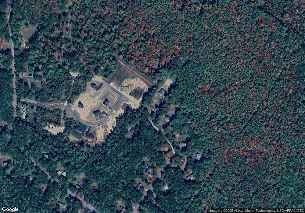
Map
Nearby Homes
- Lot 4 Tbd Lentago Ln Unit Lot 4
- 22 Lentago Ln
- 42 Bernice Ave
- 45 Grace Ln
- 43 Michaels Rd
- 247 Sam Allen Rd
- 122 Country Club 3 Rd
- 86 Moose Bog Ln
- 41 Sunny Ln
- 761 Quarry Rd
- 49 Willow Dr
- 56 Sam Allen Rd
- 99 Westhaven Ln
- 85 Westhaven Ln
- Lot 11 Laney Ln
- Lot 13 Rolling Woods Ln
- Lot 9 Rolling Woods Ln
- Lot 15 Rolling Woods Ln
- Lot 6 Rolling Woods Ln
- Lot 4 Rolling Woods Ln
- 3 Friars Way
- 12 Friars Way
- 12 Friar's Way
- 28 Nottingham Dr
- 40 Nottingham Dr
- 26 Nottingham Dr
- 35 Nottingham Dr
- Lot 12 TBD Lentago Ln
- 33 Nottingham Dr
- 31 Nottingham Dr
- 24 Nottingham Dr
- 29 Nottingham Dr
- 10 Blue Goose Ln
- 22 Nottingham Dr
- 8 Blue Goose Ln
- 27 Nottingham Dr
- 6 Blue Goose Ln
- 4 Blue Goose Ln
- 502 Sam Allen Rd
- 25 Nottingham Dr