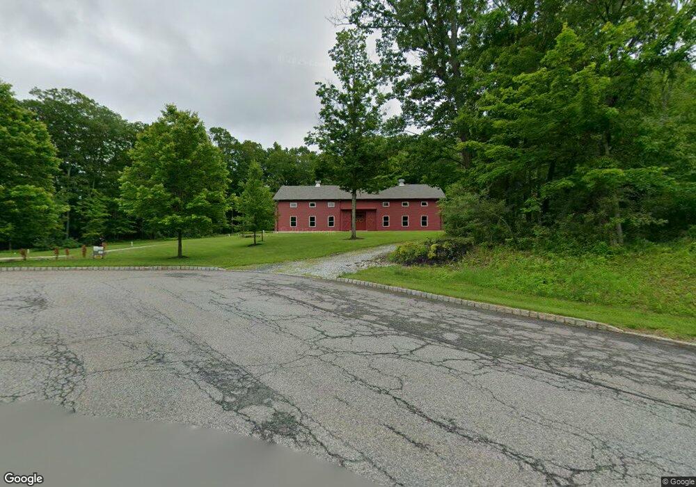
11 Garrett Dr Newton, NJ 07860
Estimated Value: $170,000 - $178,703
--
Bed
--
Bath
--
Sq Ft
2.6
Acres
About This Home
This home is located at 11 Garrett Dr, Newton, NJ 07860 and is currently estimated at $174,352. 11 Garrett Dr is a home with nearby schools including Marian E. McKeown School, Kittatinny Regional High School, and Northwest Christian School.
Ownership History
Date
Name
Owned For
Owner Type
Purchase Details
Closed on
Mar 19, 2021
Sold by
Montella John
Bought by
Brower Linda
Current Estimated Value
Purchase Details
Closed on
Jul 22, 2014
Sold by
Patterson Michael and Patterson April
Bought by
Montella John
Purchase Details
Closed on
Jul 29, 2009
Sold by
Toll Land Iv Limited Partnership
Bought by
Montella John and Patterson Michael
Purchase Details
Closed on
Jul 7, 2006
Sold by
Stone Rows At Halsey Station Llc
Bought by
Toll Land Iv Lp
Create a Home Valuation Report for This Property
The Home Valuation Report is an in-depth analysis detailing your home's value as well as a comparison with similar homes in the area
Home Values in the Area
Average Home Value in this Area
Purchase History
| Date | Buyer | Sale Price | Title Company |
|---|---|---|---|
| Brower Linda | $120,000 | Heritage Abstract Company | |
| Montella John | -- | None Available | |
| Montella John | $82,500 | None Available | |
| Toll Land Iv Lp | $235,000 | None Available |
Source: Public Records
Tax History Compared to Growth
Tax History
| Year | Tax Paid | Tax Assessment Tax Assessment Total Assessment is a certain percentage of the fair market value that is determined by local assessors to be the total taxable value of land and additions on the property. | Land | Improvement |
|---|---|---|---|---|
| 2025 | $2,777 | $83,200 | $83,200 | -- |
| 2024 | $2,630 | $83,200 | $83,200 | $0 |
| 2023 | $2,630 | $83,200 | $83,200 | $0 |
| 2022 | $2,566 | $83,200 | $83,200 | $0 |
| 2021 | $2,494 | $83,200 | $83,200 | $0 |
| 2020 | $2,484 | $83,200 | $83,200 | $0 |
| 2019 | $2,462 | $83,200 | $83,200 | $0 |
| 2018 | $2,414 | $83,200 | $83,200 | $0 |
| 2017 | $2,365 | $83,200 | $83,200 | $0 |
| 2016 | $2,296 | $83,200 | $83,200 | $0 |
| 2015 | $2,154 | $83,200 | $83,200 | $0 |
| 2014 | $2,129 | $83,200 | $83,200 | $0 |
Source: Public Records
Map
Nearby Homes
- 2 - 4 Garrett Dr
- 37 Cypress Dr
- 301 Lakewood Terrace
- 1007 Hillside Ave
- 208 Highland Ave
- 86 County Road 521
- 52 Church Rd
- 4 Grove St
- 221 Fairview Ave
- 25 County Road 521
- 21 Lake Rd
- 59 Newton Ave
- 30 Old Swartswood Rd
- 90 Kemah Mecca Lake Rd
- 137 Hampton House Rd
- 515 Kemah Lake Rd
- 2 Sparrow CI
- 41 Swartswood Rd
- 4 Eagle Dr Unit 2
- 1071 County Road 521