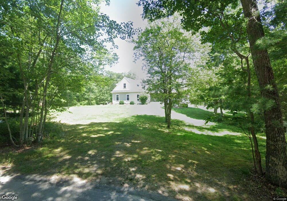
11 Gentry Ln South Dartmouth, MA 02748
Cow Yard/Nonquitt NeighborhoodEstimated Value: $1,719,276 - $2,193,000
4
Beds
3
Baths
4,098
Sq Ft
$477/Sq Ft
Est. Value
About This Home
This home is located at 11 Gentry Ln, South Dartmouth, MA 02748 and is currently estimated at $1,956,138, approximately $477 per square foot. 11 Gentry Ln is a home with nearby schools including Dartmouth High School.
Ownership History
Date
Name
Owned For
Owner Type
Purchase Details
Closed on
Feb 21, 2025
Sold by
Labelle Chad M
Bought by
Gentry Ln Rt and Labelle
Current Estimated Value
Purchase Details
Closed on
Aug 25, 2014
Sold by
Vincent Kenneth R
Bought by
Labelle Chad M
Home Financials for this Owner
Home Financials are based on the most recent Mortgage that was taken out on this home.
Original Mortgage
$188,000
Interest Rate
4%
Mortgage Type
New Conventional
Create a Home Valuation Report for This Property
The Home Valuation Report is an in-depth analysis detailing your home's value as well as a comparison with similar homes in the area
Home Values in the Area
Average Home Value in this Area
Purchase History
| Date | Buyer | Sale Price | Title Company |
|---|---|---|---|
| Gentry Ln Rt | -- | None Available | |
| Gentry Ln Rt | -- | None Available | |
| Gentry Ln Rt | -- | None Available | |
| Labelle Chad M | $235,000 | -- | |
| Labelle Chad M | $235,000 | -- |
Source: Public Records
Mortgage History
| Date | Status | Borrower | Loan Amount |
|---|---|---|---|
| Previous Owner | Labelle Chad M | $188,000 |
Source: Public Records
Tax History Compared to Growth
Tax History
| Year | Tax Paid | Tax Assessment Tax Assessment Total Assessment is a certain percentage of the fair market value that is determined by local assessors to be the total taxable value of land and additions on the property. | Land | Improvement |
|---|---|---|---|---|
| 2025 | $11,238 | $1,305,200 | $462,100 | $843,100 |
| 2024 | $11,039 | $1,270,300 | $449,200 | $821,100 |
| 2023 | $9,892 | $1,078,700 | $312,600 | $766,100 |
| 2022 | $8,872 | $896,200 | $278,500 | $617,700 |
| 2021 | $8,925 | $861,500 | $265,200 | $596,300 |
| 2020 | $8,748 | $842,800 | $251,500 | $591,300 |
| 2019 | $8,431 | $810,700 | $241,700 | $569,000 |
| 2018 | $6,669 | $764,900 | $241,700 | $523,200 |
| 2017 | $6,853 | $683,900 | $228,500 | $455,400 |
| 2016 | $2,275 | $223,900 | $223,900 | $0 |
| 2015 | $2,202 | $217,200 | $217,200 | $0 |
| 2014 | $2,008 | $196,700 | $196,700 | $0 |
Source: Public Records
Map
Nearby Homes
- 482 Smith Neck Rd
- 24 Eagle Dr
- 48 N Shore Dr Unit 3&7
- 48 N Shore Dr Unit 8
- 105 Rock Odundee Rd
- 24 White Alder Way
- 12 Meadow Shores Rd
- 738 Smith Neck Rd
- 62 Hetty Green St Unit 62
- 158 Little River Rd
- Lot 1 Rafael Rd
- 61 Pardon Hill Rd
- 248 Bakerville Rd
- 23 High St
- 40 School St
- 0 Stoneledge Rd
- 76 Shipyard Ln
- Lot 2E Horseneck Rd
- 48 Wilson St
- 00 Prospect St
- 10 Gentry Ln
- 6 Gentry Ln
- 447 Smith Neck Rd
- 4 Gentry Ln
- 413 Smith Neck Rd
- 9 Bittersweet Ln
- 6 Bittersweet Ln
- 71 South Ave
- 405 Smith Neck Rd
- 5 Bittersweet Ln
- 437 Smith Neck Rd
- 429 Smith Neck Rd
- 443 Smith Neck Rd
- 453 Smith Neck Rd
- 461 Smith Neck Rd
- 2 Bittersweet Ln
- 79 South Ave
- 79 South Ave
- 397 Smith Neck Rd
- 467 Smith Neck Rd