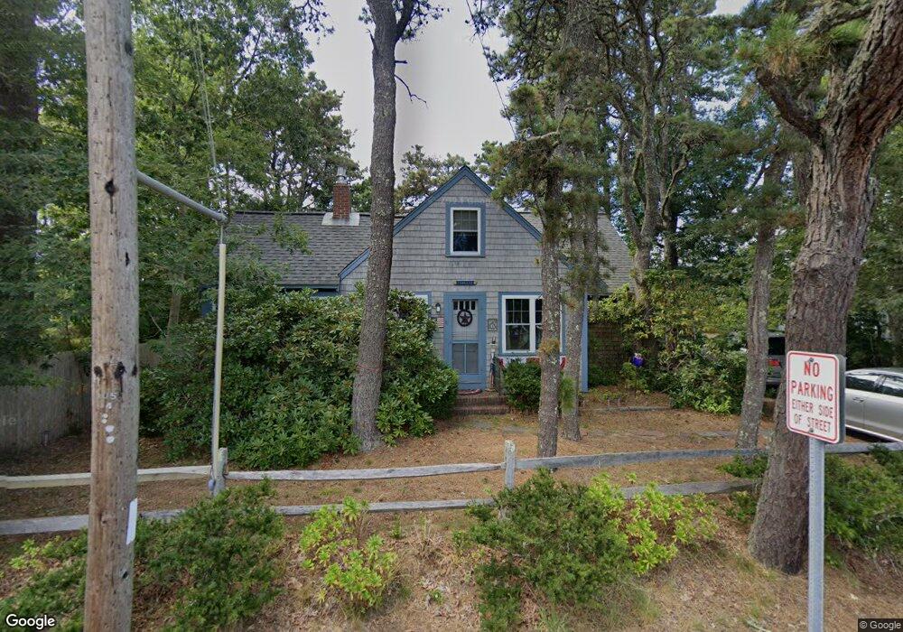
11 Glendon Rd Dennis Port, MA 02639
Dennis Port NeighborhoodEstimated Value: $540,000 - $647,000
3
Beds
1
Bath
1,020
Sq Ft
$600/Sq Ft
Est. Value
About This Home
This home is located at 11 Glendon Rd, Dennis Port, MA 02639 and is currently estimated at $611,999, approximately $599 per square foot. 11 Glendon Rd is a home located in Barnstable County with nearby schools including Dennis-Yarmouth Regional High School and St. Pius X. School.
Ownership History
Date
Name
Owned For
Owner Type
Purchase Details
Closed on
Jan 24, 1992
Sold by
Danner Ottmar W and Danner Claude M
Bought by
Corlett David G and Corlett Susan E
Current Estimated Value
Home Financials for this Owner
Home Financials are based on the most recent Mortgage that was taken out on this home.
Original Mortgage
$60,000
Interest Rate
8.45%
Mortgage Type
Purchase Money Mortgage
Create a Home Valuation Report for This Property
The Home Valuation Report is an in-depth analysis detailing your home's value as well as a comparison with similar homes in the area
Home Values in the Area
Average Home Value in this Area
Purchase History
| Date | Buyer | Sale Price | Title Company |
|---|---|---|---|
| Corlett David G | $90,000 | -- |
Source: Public Records
Mortgage History
| Date | Status | Borrower | Loan Amount |
|---|---|---|---|
| Open | Corlett David G | $50,000 | |
| Closed | Corlett David G | $60,000 | |
| Closed | Corlett David G | $60,000 |
Source: Public Records
Tax History Compared to Growth
Tax History
| Year | Tax Paid | Tax Assessment Tax Assessment Total Assessment is a certain percentage of the fair market value that is determined by local assessors to be the total taxable value of land and additions on the property. | Land | Improvement |
|---|---|---|---|---|
| 2025 | $2,482 | $573,100 | $281,400 | $291,700 |
| 2024 | $2,347 | $534,600 | $270,700 | $263,900 |
| 2023 | $2,270 | $486,100 | $246,000 | $240,100 |
| 2022 | $2,097 | $374,400 | $193,900 | $180,500 |
| 2021 | $2,073 | $343,800 | $190,100 | $153,700 |
| 2020 | $1,897 | $311,000 | $190,100 | $120,900 |
| 2019 | $1,926 | $312,200 | $202,400 | $109,800 |
| 2018 | $1,879 | $296,300 | $192,700 | $103,600 |
| 2017 | $1,729 | $281,100 | $177,500 | $103,600 |
| 2016 | $1,664 | $254,900 | $167,300 | $87,600 |
| 2015 | $1,631 | $254,900 | $167,300 | $87,600 |
| 2014 | $1,537 | $242,000 | $157,200 | $84,800 |
Source: Public Records
Map
Nearby Homes
- 31 Easy St
- 64 Beaten Rd
- 262 Old Wharf Rd Unit 67
- 262 Old Wharf Rd Unit 5
- 262 Old Wharf Rd Unit 5
- 262 Old Wharf Rd Unit 20
- 262 Old Wharf Rd Unit 87
- 37 Beach Hills Rd
- 37 Ocean Dr Unit 2
- 154 Old Wharf Rd Unit 26
- 154 Old Wharf Rd Unit 14
- 217 Old Wharf Rd Unit 64
- 241 Old Wharf Rd Unit 82
- 241 Old Wharf Rd Unit 127
- 241 Old Wharf Rd Unit 90
- 37-A Beach Hills Rd
- 80 Michaels Ave
- 112 Old Wharf Rd Unit E4
- 112 Old Wharf Rd Unit E1
- 22 Ferncliff Rd
- 7 Glendon Rd
- 20 Glendon Rd
- 14 Glendon Rd
- 14 Lora Ln
- 19 Glendon Rd
- 10 Glendon Rd
- 24 Glendon Rd
- 1 Glendon Rd
- 189 Lower County Rd
- 18 Lower County Rd Unit 4
- 18 Lower County Rd Unit 3
- 18 Lower County Rd Unit 2
- 18 Lower County Rd Unit 1
- 177 Lower County Rd Unit 15
- 177 Lower County Rd
- 177 Lower County Rd Unit 6
- 177 Lower County Rd Unit 27
- 177 Lower County Rd Unit 3
- 177 Lower County Rd Unit 26
- 177 Lower County Rd Unit 18