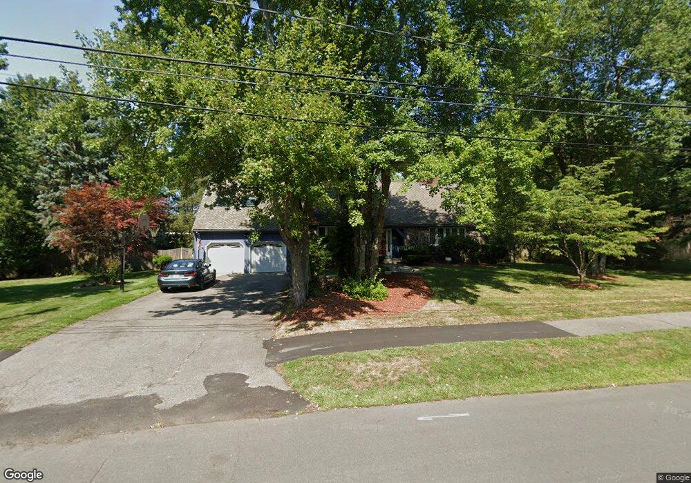
11 Goffe Rd Lexington, MA 02421
Follen Heights NeighborhoodEstimated Value: $1,698,070 - $2,030,000
4
Beds
3
Baths
2,770
Sq Ft
$656/Sq Ft
Est. Value
About This Home
This home is located at 11 Goffe Rd, Lexington, MA 02421 and is currently estimated at $1,816,268, approximately $655 per square foot. 11 Goffe Rd is a home located in Middlesex County with nearby schools including Bowman Elementary School, Jonas Clarke Middle School, and Lexington High School.
Ownership History
Date
Name
Owned For
Owner Type
Purchase Details
Closed on
Jan 8, 2021
Sold by
Pamela M Awrach 2015 Ret and Awrach
Bought by
Awrach Murry A and Awrach Pamela M
Current Estimated Value
Home Financials for this Owner
Home Financials are based on the most recent Mortgage that was taken out on this home.
Original Mortgage
$620,000
Outstanding Balance
$546,982
Interest Rate
2.71%
Mortgage Type
New Conventional
Estimated Equity
$1,269,286
Purchase Details
Closed on
Jun 17, 2015
Sold by
Awrach Murry A and Awrach Pamela M
Bought by
Pamela M Awrach 2015 Ret and Awrach
Purchase Details
Closed on
Dec 3, 1996
Sold by
Dolcimascolo Martha
Bought by
Awrach Murry A and Awrach Pamela M
Create a Home Valuation Report for This Property
The Home Valuation Report is an in-depth analysis detailing your home's value as well as a comparison with similar homes in the area
Home Values in the Area
Average Home Value in this Area
Purchase History
| Date | Buyer | Sale Price | Title Company |
|---|---|---|---|
| Awrach Murry A | -- | None Available | |
| Pamela M Awrach 2015 Ret | -- | -- | |
| Pamela M Awrach 2015 Ret | -- | -- | |
| Awrach Murry A | $461,000 | -- |
Source: Public Records
Mortgage History
| Date | Status | Borrower | Loan Amount |
|---|---|---|---|
| Open | Awrach Murry A | $620,000 | |
| Previous Owner | Awrach Murry A | $119,900 | |
| Previous Owner | Awrach Murry A | $240,500 | |
| Previous Owner | Awrach Murry A | $244,000 |
Source: Public Records
Tax History
| Year | Tax Paid | Tax Assessment Tax Assessment Total Assessment is a certain percentage of the fair market value that is determined by local assessors to be the total taxable value of land and additions on the property. | Land | Improvement |
|---|---|---|---|---|
| 2025 | $17,770 | $1,453,000 | $760,000 | $693,000 |
| 2024 | $17,322 | $1,414,000 | $723,000 | $691,000 |
| 2023 | $16,705 | $1,285,000 | $658,000 | $627,000 |
| 2022 | $15,994 | $1,159,000 | $598,000 | $561,000 |
| 2021 | $6,007 | $1,112,000 | $569,000 | $543,000 |
| 2020 | $4,292 | $1,112,000 | $569,000 | $543,000 |
| 2019 | $14,840 | $1,051,000 | $542,000 | $509,000 |
| 2018 | $14,658 | $1,025,000 | $516,000 | $509,000 |
| 2017 | $14,519 | $1,002,000 | $492,000 | $510,000 |
| 2016 | $13,928 | $954,000 | $468,000 | $486,000 |
| 2015 | $13,107 | $882,000 | $426,000 | $456,000 |
| 2014 | $12,129 | $782,000 | $387,000 | $395,000 |
Source: Public Records
Map
Nearby Homes
- 12 Wellington Lane Ave
- 15 Bird Hill Rd
- 32 Moon Hill Rd
- 34 Allen St
- 320 Concord Ave
- 353 Concord Ave
- 27 Peacock Farm Rd
- 847 Massachusetts Ave
- 12 Tower Rd
- 991 Massachusetts Ave
- 23 Tucker Ave
- 82 Oak St
- 1105 Lexington St Unit 6-4
- 1105 Lexington St Unit 6-11
- 170 Clocktower Dr Unit 103
- 20 Maple St
- 985 Trapelo Rd Unit 23
- 25 Maple St
- 3 Effie Place
- 451 Appleton St
Your Personal Tour Guide
Ask me questions while you tour the home.