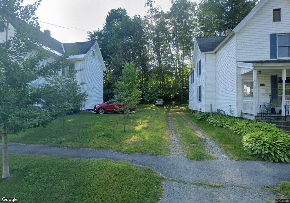
11 Goodrich St Pittsfield, MA 01201
Estimated Value: $65,000 - $291,000
2
Beds
--
Bath
1,736
Sq Ft
$87/Sq Ft
Est. Value
About This Home
This home is located at 11 Goodrich St, Pittsfield, MA 01201 and is currently estimated at $150,537, approximately $86 per square foot. 11 Goodrich St is a home located in Berkshire County with nearby schools including Crosby Elementary School, Theodore Herberg Middle School, and Pittsfield High School.
Ownership History
Date
Name
Owned For
Owner Type
Purchase Details
Closed on
Jun 12, 2013
Sold by
Widmann Barbara and Erkkinen Eric
Bought by
Erkkinen Eric
Current Estimated Value
Purchase Details
Closed on
Jan 25, 2007
Sold by
Saldo Michael F
Bought by
Widmann Berbara and Erkkinen Eric
Purchase Details
Closed on
Jan 7, 1993
Sold by
Department Of Housing & Urban Dev
Bought by
Saldo Michael F
Home Financials for this Owner
Home Financials are based on the most recent Mortgage that was taken out on this home.
Original Mortgage
$20,000
Interest Rate
8.24%
Mortgage Type
Purchase Money Mortgage
Purchase Details
Closed on
Mar 11, 1988
Sold by
Wasuk Michael J
Bought by
Berry Donald
Purchase Details
Closed on
Jun 2, 1987
Sold by
Koziatek Frank J
Bought by
Wasuk Michael J
Create a Home Valuation Report for This Property
The Home Valuation Report is an in-depth analysis detailing your home's value as well as a comparison with similar homes in the area
Home Values in the Area
Average Home Value in this Area
Purchase History
| Date | Buyer | Sale Price | Title Company |
|---|---|---|---|
| Erkkinen Eric | -- | -- | |
| Erkkinen Eric | -- | -- | |
| Erkkinen Eric | -- | -- | |
| Widmann Berbara | $50,000 | -- | |
| Widmann Berbara | $50,000 | -- | |
| Widmann Berbara | $50,000 | -- | |
| Saldo Michael F | $20,000 | -- | |
| Saldo Michael F | $20,000 | -- | |
| Berry Donald | $92,250 | -- | |
| Wasuk Michael J | $61,900 | -- |
Source: Public Records
Mortgage History
| Date | Status | Borrower | Loan Amount |
|---|---|---|---|
| Previous Owner | Wasuk Michael J | $20,000 | |
| Previous Owner | Wasuk Michael J | $20,000 |
Source: Public Records
Tax History Compared to Growth
Tax History
| Year | Tax Paid | Tax Assessment Tax Assessment Total Assessment is a certain percentage of the fair market value that is determined by local assessors to be the total taxable value of land and additions on the property. | Land | Improvement |
|---|---|---|---|---|
| 2025 | $438 | $24,400 | $24,400 | $0 |
| 2024 | $450 | $24,400 | $24,400 | $0 |
| 2023 | $447 | $24,400 | $24,400 | $0 |
| 2022 | $395 | $21,300 | $21,300 | $0 |
| 2021 | $410 | $21,300 | $21,300 | $0 |
| 2020 | $420 | $21,300 | $21,300 | $0 |
| 2019 | $449 | $23,100 | $23,100 | $0 |
| 2018 | $940 | $47,000 | $23,100 | $23,900 |
| 2017 | $1,017 | $51,800 | $24,400 | $27,400 |
| 2016 | $947 | $50,500 | $24,400 | $26,100 |
| 2015 | $912 | $50,500 | $24,400 | $26,100 |
Source: Public Records
Map
Nearby Homes
- 79 Center St
- 50 W Housatonic St
- 20, 26, 30 E Housatonic St
- 71 S Church St Unit S102
- 92 W Housatonic St
- 121 Wendell Ave
- 31 Henry Ave
- 55 Pomeroy Ave Unit 6
- 33 Circular Ave
- 247 South St
- 133 Pomeroy Ave
- 89 Robbins Ave
- 27 Daniels Ave
- 159 Union St
- 200 W Housatonic St Unit 16
- 48 Copley Terrace
- 22 Copley Terrace
- 68 Colt Rd
- 376 Fenn St
- 96 Boylston St