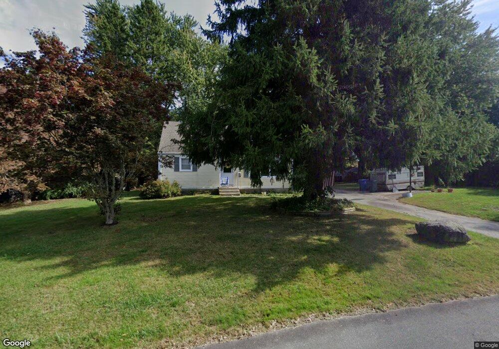
11 Greening Place Uncasville, CT 06382
Estimated Value: $330,765 - $374,000
3
Beds
2
Baths
1,346
Sq Ft
$260/Sq Ft
Est. Value
About This Home
This home is located at 11 Greening Place, Uncasville, CT 06382 and is currently estimated at $349,691, approximately $259 per square foot. 11 Greening Place is a home located in New London County with nearby schools including Leonard J. Tyl Middle School, Montville High School, and Bradley School-New London Regional.
Ownership History
Date
Name
Owned For
Owner Type
Purchase Details
Closed on
Aug 31, 1999
Sold by
Vincnent Eva M and Langhammer Lloyd L
Bought by
Bedard Scott K and Bedard Judith M
Current Estimated Value
Home Financials for this Owner
Home Financials are based on the most recent Mortgage that was taken out on this home.
Original Mortgage
$100,000
Interest Rate
7.53%
Purchase Details
Closed on
Aug 26, 1987
Sold by
Perkins Cecelia
Bought by
Vincent Eva
Create a Home Valuation Report for This Property
The Home Valuation Report is an in-depth analysis detailing your home's value as well as a comparison with similar homes in the area
Home Values in the Area
Average Home Value in this Area
Purchase History
| Date | Buyer | Sale Price | Title Company |
|---|---|---|---|
| Bedard Scott K | $131,500 | -- | |
| Bedard Scott K | $131,500 | -- | |
| Vincent Eva | $112,000 | -- |
Source: Public Records
Mortgage History
| Date | Status | Borrower | Loan Amount |
|---|---|---|---|
| Open | Vincent Eva | $104,500 | |
| Closed | Vincent Eva | $100,000 | |
| Previous Owner | Vincent Eva | $85,500 |
Source: Public Records
Tax History Compared to Growth
Tax History
| Year | Tax Paid | Tax Assessment Tax Assessment Total Assessment is a certain percentage of the fair market value that is determined by local assessors to be the total taxable value of land and additions on the property. | Land | Improvement |
|---|---|---|---|---|
| 2025 | $3,888 | $134,680 | $31,220 | $103,460 |
| 2024 | $3,740 | $134,680 | $31,220 | $103,460 |
| 2023 | $3,740 | $134,680 | $31,220 | $103,460 |
| 2022 | $3,597 | $134,680 | $31,220 | $103,460 |
| 2021 | $3,532 | $111,240 | $31,040 | $80,200 |
| 2020 | $3,602 | $111,240 | $31,040 | $80,200 |
| 2019 | $3,616 | $111,240 | $31,040 | $80,200 |
| 2018 | $3,530 | $111,240 | $31,040 | $80,200 |
| 2017 | $3,526 | $111,240 | $31,040 | $80,200 |
| 2016 | $3,597 | $117,500 | $38,770 | $78,730 |
| 2015 | $3,597 | $117,500 | $38,770 | $78,730 |
| 2014 | $3,451 | $117,500 | $38,770 | $78,730 |
Source: Public Records
Map
Nearby Homes
- 184 Kitemaug Rd
- 127 Massapeag Rd
- 10 Riched Ln
- 1465 Norwich-New London Turnpike
- 170 Raymond Hill Rd
- 17B Massapeag Point Rd
- 13 Dock Rd
- 0 Clarks Falls Unit 24089817
- 9 Morgan St
- 245 Norwich New London Turnpike Unit 22
- 6 Sunset Rd
- 60 Hammel Ln
- 13 Skyline Dr
- 9 West Dr
- 16 Jacop Dr
- 150 Park Avenue Extension
- 145 Massapeag Side Rd
- 11 Queen Eleanor Dr
- 57 Roselund Hill Rd
- 331 Route 163
- 15 Greening Place
- 5 Greening Place
- 8 Cortland Place
- 12 Cortland Place
- 20 Mcintosh Ave
- 4 Greening Place
- 8 Greening Place
- 12 Greening Place
- 4 Cortland Place
- 16 Greening Place
- 8 Mcintosh Ave
- 15 Mcintosh Ave
- 11 Mcintosh Ave
- 19 Mcintosh Ave
- 23 Mcintosh Ave
- 40 Orchard Dr
- 36 Orchard Dr
- 5 Cortland Place
- 15 Cortland Place
- 32 Orchard Dr