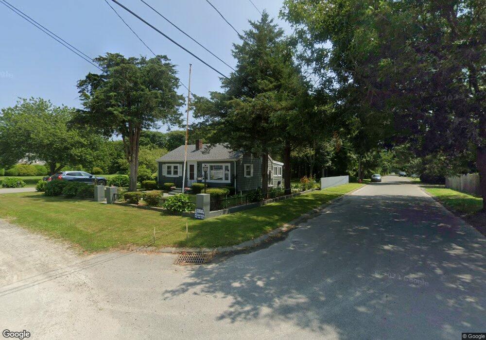
11 Gull Island Rd Fairhaven, MA 02719
West Island NeighborhoodEstimated Value: $443,035 - $558,000
2
Beds
1
Bath
580
Sq Ft
$868/Sq Ft
Est. Value
About This Home
This home is located at 11 Gull Island Rd, Fairhaven, MA 02719 and is currently estimated at $503,259, approximately $867 per square foot. 11 Gull Island Rd is a home located in Bristol County with nearby schools including Fairhaven High School.
Ownership History
Date
Name
Owned For
Owner Type
Purchase Details
Closed on
Aug 30, 2024
Sold by
Karalis Ft and Karalis
Bought by
Achilcas Karalis Irt and Karalis
Current Estimated Value
Purchase Details
Closed on
Jan 7, 2016
Sold by
Karalis Arthur and Karalis Achileas
Bought by
Karalis Ft and Karalis
Purchase Details
Closed on
Dec 26, 1975
Bought by
Karalis Arthur and Karalis Eleanor
Create a Home Valuation Report for This Property
The Home Valuation Report is an in-depth analysis detailing your home's value as well as a comparison with similar homes in the area
Home Values in the Area
Average Home Value in this Area
Purchase History
| Date | Buyer | Sale Price | Title Company |
|---|---|---|---|
| Achilcas Karalis Irt | -- | None Available | |
| Achilcas Karalis Irt | -- | None Available | |
| Karalis Ft | -- | -- | |
| Karalis Arthur | -- | -- | |
| Karalis Ft | -- | -- |
Source: Public Records
Tax History Compared to Growth
Tax History
| Year | Tax Paid | Tax Assessment Tax Assessment Total Assessment is a certain percentage of the fair market value that is determined by local assessors to be the total taxable value of land and additions on the property. | Land | Improvement |
|---|---|---|---|---|
| 2025 | $36 | $389,300 | $281,200 | $108,100 |
| 2024 | $3,498 | $379,000 | $281,200 | $97,800 |
| 2023 | $3,287 | $330,400 | $242,600 | $87,800 |
| 2022 | $3,061 | $299,500 | $220,900 | $78,600 |
| 2021 | $2,916 | $258,300 | $200,900 | $57,400 |
| 2020 | $2,857 | $258,300 | $200,900 | $57,400 |
| 2019 | $2,668 | $228,600 | $172,100 | $56,500 |
| 2018 | $2,530 | $215,300 | $163,800 | $51,500 |
| 2017 | $2,457 | $204,100 | $157,600 | $46,500 |
| 2016 | $2,207 | $181,200 | $136,500 | $44,700 |
| 2015 | $2,182 | $179,600 | $136,500 | $43,100 |
Source: Public Records
Map
Nearby Homes
- 91 Balsam St
- 120 Balsam St
- 151 Balsam St
- 59 Starboard Dr Unit 36A
- 58 Starboard Dr Unit 36B
- 55 Starboard Dr Unit 36E
- 54 Starboard Dr Unit 36F
- 56 Starboard Dr Unit 36D
- 57 Starboard Dr Unit 36C
- ANR 2 Sconticut Neck Rd
- 8 Sunset Beach Rd
- 389 Sconticut Neck Rd
- 14 Summit Dr
- 19 Smith St
- 28 Brandt Beach Ave
- 16 Reservation Rd
- 0 Marina Dr Unit 72497908
- 0 Marina Dr Unit 72497877
- 7 Mattakiset Rd
- 15 Baxter Ave
- 9 Gull Island Rd
- 10 Gull Island Rd
- 12 Gull Island Rd
- 7 Gull Island Rd
- 8 Gull Island Rd
- 98 Cottonwood St
- 104 Dogwood St
- 96 Cottonwood St
- 4 Gull Island Rd
- 104 Cottonwood St
- 3 Gull Island Rd
- 21 Gull Island Rd
- 94 Cottonwood St
- 103 Cottonwood St
- 2 Gull Island Rd
- 73 Balsam St
- 20 Gull Island Rd
- 92 Cottonwood St
- 92 Cottonwood St Unit Winter
- 71 Balsam St