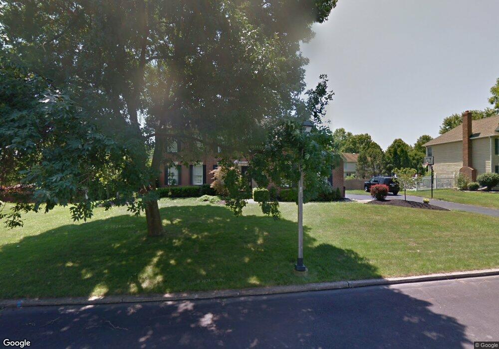
11 Gunning Ln Langhorne, PA 19047
Estimated Value: $753,000 - $800,000
4
Beds
3
Baths
2,184
Sq Ft
$354/Sq Ft
Est. Value
About This Home
This home is located at 11 Gunning Ln, Langhorne, PA 19047 and is currently estimated at $774,071, approximately $354 per square foot. 11 Gunning Ln is a home located in Bucks County with nearby schools including Pearl S. Buck Elementary School, Maple Point Middle School, and Neshaminy High School.
Ownership History
Date
Name
Owned For
Owner Type
Purchase Details
Closed on
Apr 4, 1996
Sold by
Rees David T and Rees Wendy L
Bought by
Nowak Thomas G and Nowak Kathleen M
Current Estimated Value
Home Financials for this Owner
Home Financials are based on the most recent Mortgage that was taken out on this home.
Original Mortgage
$170,000
Outstanding Balance
$8,032
Interest Rate
7.39%
Estimated Equity
$766,039
Purchase Details
Closed on
Sep 17, 1992
Bought by
Rees David T and Rees Wendy L
Create a Home Valuation Report for This Property
The Home Valuation Report is an in-depth analysis detailing your home's value as well as a comparison with similar homes in the area
Home Values in the Area
Average Home Value in this Area
Purchase History
| Date | Buyer | Sale Price | Title Company |
|---|---|---|---|
| Nowak Thomas G | $235,000 | Lawyers Title Insurance Corp | |
| Rees David T | $239,900 | -- |
Source: Public Records
Mortgage History
| Date | Status | Borrower | Loan Amount |
|---|---|---|---|
| Open | Nowak Thomas G | $170,000 |
Source: Public Records
Tax History Compared to Growth
Tax History
| Year | Tax Paid | Tax Assessment Tax Assessment Total Assessment is a certain percentage of the fair market value that is determined by local assessors to be the total taxable value of land and additions on the property. | Land | Improvement |
|---|---|---|---|---|
| 2025 | $10,763 | $49,440 | $6,880 | $42,560 |
| 2024 | $10,763 | $49,440 | $6,880 | $42,560 |
| 2023 | $10,593 | $49,440 | $6,880 | $42,560 |
| 2022 | $10,314 | $49,440 | $6,880 | $42,560 |
| 2021 | $10,314 | $49,440 | $6,880 | $42,560 |
| 2020 | $10,191 | $49,440 | $6,880 | $42,560 |
| 2019 | $9,963 | $49,440 | $6,880 | $42,560 |
| 2018 | $9,780 | $49,440 | $6,880 | $42,560 |
| 2017 | $9,531 | $49,440 | $6,880 | $42,560 |
| 2016 | $9,531 | $49,440 | $6,880 | $42,560 |
| 2015 | $9,720 | $49,440 | $6,880 | $42,560 |
| 2014 | $9,720 | $49,440 | $6,880 | $42,560 |
Source: Public Records
Map
Nearby Homes
- 462 Scott Ct
- 2904 Sterling Rd Unit 179
- 770 Atkinson Ln
- 1707 Lynbrooke Dr Unit 120
- 2602 Waterford Rd Unit 96
- 2007 Waterford Rd Unit 81
- 1948 Satter Ct
- 14303 Cornerstone Dr
- 7908 Spruce Mill Dr Unit 656
- 5801 Spruce Mill Dr Unit 450
- 647A Rose Hollow Dr Unit B
- 650 Bayberry Ln Unit U6
- 1605 Covington Rd
- 1839 Windflower Ln
- 210 Shady Brook Dr
- 181 Fillmore Way
- 1819 Windflower Ln
- 313 Chestnut Ct
- 571 Heritage Oak Dr
- 195 Roosevelt Dr