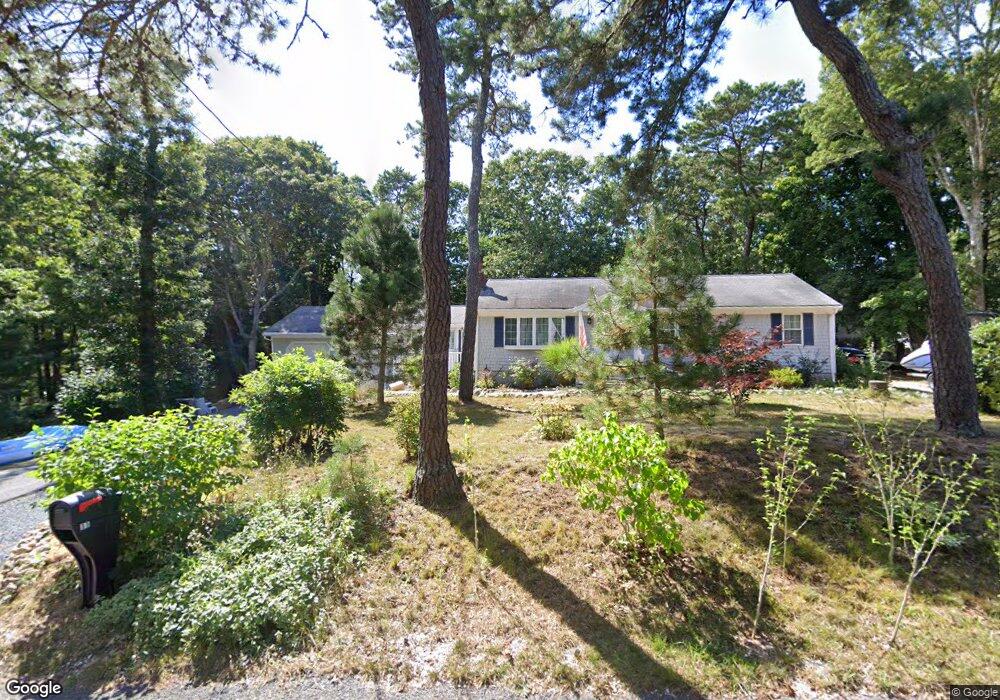
11 Gunrock Rd Yarmouth Port, MA 02675
Yarmouth Port NeighborhoodEstimated Value: $661,810 - $782,000
3
Beds
3
Baths
1,604
Sq Ft
$439/Sq Ft
Est. Value
About This Home
This home is located at 11 Gunrock Rd, Yarmouth Port, MA 02675 and is currently estimated at $704,203, approximately $439 per square foot. 11 Gunrock Rd is a home located in Barnstable County with nearby schools including Dennis-Yarmouth Regional High School and St. Pius X. School.
Ownership History
Date
Name
Owned For
Owner Type
Purchase Details
Closed on
May 1, 2006
Sold by
Makris Enid M and Makris George E
Bought by
Makris David P and Makris Kathleen K
Current Estimated Value
Home Financials for this Owner
Home Financials are based on the most recent Mortgage that was taken out on this home.
Original Mortgage
$200,000
Outstanding Balance
$115,832
Interest Rate
6.4%
Mortgage Type
Purchase Money Mortgage
Estimated Equity
$588,371
Create a Home Valuation Report for This Property
The Home Valuation Report is an in-depth analysis detailing your home's value as well as a comparison with similar homes in the area
Home Values in the Area
Average Home Value in this Area
Purchase History
| Date | Buyer | Sale Price | Title Company |
|---|---|---|---|
| Makris David P | $310,000 | -- |
Source: Public Records
Mortgage History
| Date | Status | Borrower | Loan Amount |
|---|---|---|---|
| Open | Makris David P | $200,000 |
Source: Public Records
Tax History Compared to Growth
Tax History
| Year | Tax Paid | Tax Assessment Tax Assessment Total Assessment is a certain percentage of the fair market value that is determined by local assessors to be the total taxable value of land and additions on the property. | Land | Improvement |
|---|---|---|---|---|
| 2025 | $4,295 | $606,700 | $169,700 | $437,000 |
| 2024 | $4,051 | $548,900 | $147,600 | $401,300 |
| 2023 | $3,970 | $489,500 | $134,100 | $355,400 |
| 2022 | $3,770 | $410,700 | $128,000 | $282,700 |
| 2021 | $3,511 | $367,300 | $128,000 | $239,300 |
| 2020 | $3,487 | $348,700 | $135,400 | $213,300 |
| 2019 | $3,207 | $317,500 | $135,400 | $182,100 |
| 2018 | $3,035 | $294,900 | $112,800 | $182,100 |
| 2017 | $2,955 | $294,900 | $112,800 | $182,100 |
| 2016 | $2,853 | $285,900 | $103,800 | $182,100 |
| 2015 | $2,926 | $291,400 | $99,300 | $192,100 |
Source: Public Records
Map
Nearby Homes
- 13 Covey Dr
- 4 Ebb Rd
- 111 Merchant Ave
- 153 Bayridge Dr
- 11 Uncle Stanleys Way
- 6 Nimble Hill Dr
- 26 Olivia Walker Way
- 15 Captain Jud Rd
- 118 Driftwood Ln
- 59 Main St Unit 19-2
- 59 Route 6a Unit 29-4
- 129 Driftwood Ln
- 17 Margate Ln
- 44 Stratford Ln
- 268 Main St
- 51 Bray Farm Rd N
- 4 Old Colony Way
- 17 Fairmount Rd
- 17 Fairmount Rd
- 86 Pompano Rd
- 11 Gun Rock Rd
- 10 Follins Pond Rd
- 19 Gun Rock Rd
- 19 Gunrock Rd
- 3 Gunrock Rd
- 16 Gun Rock Rd
- 16 Follins Pond Rd
- 10 Gunrock Rd
- 16 Gunrock Rd
- 2 Follins Pond Rd
- 4 Gun Rock Rd
- 22 Gunrock Rd
- 22 Gun Rock Rd
- 4 Gunrock Rd
- 9 Follins Pond Rd
- 243 Setucket Rd
- 26 Gun Rock Rd
- 26 Gunrock Rd
- 32 Gunrock Rd
- 281 Setucket Rd