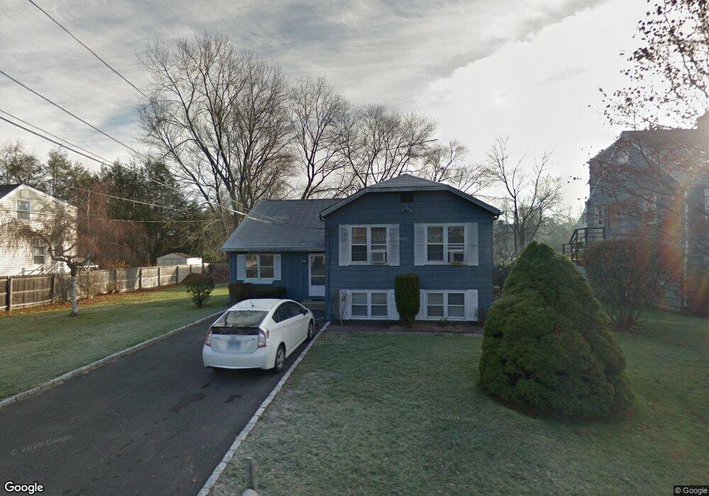
11 Hale St Westport, CT 06880
Compo NeighborhoodEstimated Value: $777,013 - $1,072,000
3
Beds
2
Baths
1,334
Sq Ft
$645/Sq Ft
Est. Value
About This Home
This home is located at 11 Hale St, Westport, CT 06880 and is currently estimated at $860,503, approximately $645 per square foot. 11 Hale St is a home located in Fairfield County with nearby schools including Saugatuck Elementary School, Bedford Middle School, and Staples High School.
Ownership History
Date
Name
Owned For
Owner Type
Purchase Details
Closed on
May 1, 1997
Sold by
Hoffert Alexander S and Hoffert Sarah
Bought by
Witkowski Damian and Maragos Anna
Current Estimated Value
Home Financials for this Owner
Home Financials are based on the most recent Mortgage that was taken out on this home.
Original Mortgage
$188,000
Outstanding Balance
$26,648
Interest Rate
7.87%
Estimated Equity
$833,855
Purchase Details
Closed on
Jan 22, 1993
Sold by
Losier Donald and Losier Elizabeth
Bought by
Salm Harold
Home Financials for this Owner
Home Financials are based on the most recent Mortgage that was taken out on this home.
Original Mortgage
$156,400
Interest Rate
8.15%
Mortgage Type
Unknown
Purchase Details
Closed on
Oct 2, 1989
Sold by
Bures William
Bought by
Losier Donald
Create a Home Valuation Report for This Property
The Home Valuation Report is an in-depth analysis detailing your home's value as well as a comparison with similar homes in the area
Home Values in the Area
Average Home Value in this Area
Purchase History
| Date | Buyer | Sale Price | Title Company |
|---|---|---|---|
| Witkowski Damian | $128,500 | -- | |
| Witkowski Damian | $128,500 | -- | |
| Salm Harold | $196,000 | -- | |
| Salm Harold | $196,000 | -- | |
| Losier Donald | $207,000 | -- |
Source: Public Records
Mortgage History
| Date | Status | Borrower | Loan Amount |
|---|---|---|---|
| Open | Losier Donald | $188,000 | |
| Closed | Losier Donald | $92,500 | |
| Previous Owner | Losier Donald | $156,400 |
Source: Public Records
Tax History Compared to Growth
Tax History
| Year | Tax Paid | Tax Assessment Tax Assessment Total Assessment is a certain percentage of the fair market value that is determined by local assessors to be the total taxable value of land and additions on the property. | Land | Improvement |
|---|---|---|---|---|
| 2025 | $5,609 | $297,400 | $198,500 | $98,900 |
| 2024 | $5,515 | $296,200 | $198,500 | $97,700 |
| 2023 | $5,435 | $296,200 | $198,500 | $97,700 |
| 2022 | $5,352 | $296,200 | $198,500 | $97,700 |
| 2021 | $243 | $296,200 | $198,500 | $97,700 |
| 2020 | $4,866 | $303,100 | $199,800 | $103,300 |
| 2019 | $5,110 | $303,100 | $199,800 | $103,300 |
| 2018 | $5,110 | $303,100 | $199,800 | $103,300 |
| 2017 | $5,110 | $303,100 | $199,800 | $103,300 |
| 2016 | $5,110 | $303,100 | $199,800 | $103,300 |
| 2015 | $4,685 | $259,000 | $153,700 | $105,300 |
| 2014 | $4,646 | $259,000 | $153,700 | $105,300 |
Source: Public Records
Map
Nearby Homes
- 171 & 169 Compo Rd S
- 5 Franklin Ave
- 3 Laurel Ln
- 23 Bridge St
- 6 Over Rock Ln
- 33 Burnham Hill
- 109 Greens Farms Rd
- 102 Compo Rd S
- 61 Edgewater Commons Ln
- 39 Compo Pkwy
- 11 Edgewater Hillside
- 24 Edgemarth Hill Rd
- 123 Greens Farms Rd
- 32 Edgewater Hillside
- 195 Hillspoint Rd
- 11 Sterling Dr
- 216 Hillspoint Rd
- 11 Manitou Ct
- 5 Hidden Hill Rd
- 25 Ellery Ln