11 Harborview Ln Wareham, MA 02571
Estimated Value: $1,053,000 - $1,223,000
4
Beds
3
Baths
2,405
Sq Ft
$468/Sq Ft
Est. Value
About This Home
This home is located at 11 Harborview Ln, Wareham, MA 02571 and is currently estimated at $1,126,662, approximately $468 per square foot. 11 Harborview Ln is a home located in Plymouth County.
Ownership History
Date
Name
Owned For
Owner Type
Purchase Details
Closed on
Oct 4, 2019
Sold by
Rossi Edgar M and Rossi Carol M
Bought by
Deluca Christopher and Deluca Helenka
Current Estimated Value
Purchase Details
Closed on
Dec 3, 2015
Sold by
Rossi Edgar M and Rossi Carol M
Bought by
Ikasalo Paul and Iaksalo Cheryl
Purchase Details
Closed on
Jan 8, 1999
Sold by
Harborview Rd T and Savary Douglas A
Bought by
Rossi Edgar M and Rossi Carol M
Create a Home Valuation Report for This Property
The Home Valuation Report is an in-depth analysis detailing your home's value as well as a comparison with similar homes in the area
Purchase History
| Date | Buyer | Sale Price | Title Company |
|---|---|---|---|
| Deluca Christopher | $650,000 | -- | |
| Deluca Christopher | $650,000 | -- | |
| Ikasalo Paul | $4,000 | -- | |
| Ikasalo Paul | $4,000 | -- | |
| Rossi Edgar M | $180,000 | -- | |
| Rossi Edgar M | $180,000 | -- |
Source: Public Records
Mortgage History
| Date | Status | Borrower | Loan Amount |
|---|---|---|---|
| Previous Owner | Rossi Edgar M | $206,000 | |
| Previous Owner | Rossi Edgar M | $417,000 |
Source: Public Records
Tax History
| Year | Tax Paid | Tax Assessment Tax Assessment Total Assessment is a certain percentage of the fair market value that is determined by local assessors to be the total taxable value of land and additions on the property. | Land | Improvement |
|---|---|---|---|---|
| 2025 | $10,148 | $973,900 | $444,200 | $529,700 |
| 2024 | $9,459 | $842,300 | $325,800 | $516,500 |
| 2023 | $8,678 | $698,000 | $253,300 | $444,700 |
| 2022 | $8,678 | $658,400 | $253,300 | $405,100 |
| 2021 | $7,793 | $579,400 | $253,300 | $326,100 |
| 2020 | $7,309 | $551,200 | $253,300 | $297,900 |
| 2019 | $7,849 | $590,600 | $307,800 | $282,800 |
| 2018 | $8,050 | $590,600 | $307,800 | $282,800 |
| 2017 | $7,833 | $582,400 | $307,800 | $274,600 |
| 2016 | $8,709 | $643,700 | $401,900 | $241,800 |
| 2015 | $8,884 | $679,700 | $428,900 | $250,800 |
| 2014 | $9,003 | $700,600 | $408,700 | $291,900 |
Source: Public Records
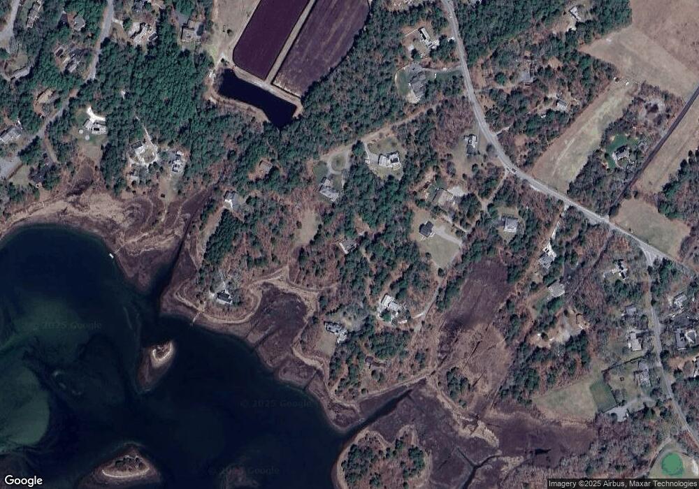
Map
Nearby Homes
- 65 Great Neck Rd
- 8 Over Jordan Rd
- 14 Over Jordan Rd
- 10 Dowd Ave
- 200 Great Neck Rd
- 6 Beacon St Unit 79
- 0 Squaw's Path
- 10 Beacon St Unit 83
- 38 Amos Way
- 276a Onset Ave
- 26 Highland Ave
- 12 Beacon St Unit 84
- 10 East Blvd
- 10 East Blvd
- 248 Great Neck Rd
- 391 Onset Ave
- 1 Gibbs Ball Park Rd
- 7 Cranberry Ln
- 3 Carleton St Unit 3
- 35 Locust St
- 11 Harborview Ln
- 1 Dresden Ave
- 7 Harborview Ln
- 16 Cliffs Rd
- 12 Harborview Ln
- 5 Harborview Ln
- 4 Cliffs Rd
- 0 Harborview Ln
- 9 Harborview Ln
- 3 Harborview Ln
- 27 Harborview Ln
- 0 Cliff's Rd Unit 70473699
- 0 Cliff's Rd Unit 30779114
- 10 Harborview Ln
- 11 Cliff's Rd
- 11 Cliffs Rd
- 165 Great Neck Rd
- 13 Harborview Ln
- 11 Harbor Ave
- 167 Great Neck Rd
Your Personal Tour Guide
Ask me questions while you tour the home.