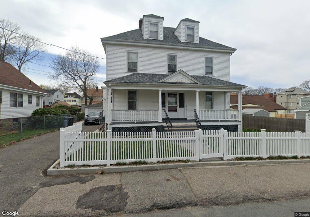
11 Harmon St Mattapan, MA 02126
Southern Mattapan NeighborhoodEstimated Value: $645,000 - $752,766
3
Beds
3
Baths
1,840
Sq Ft
$382/Sq Ft
Est. Value
About This Home
This home is located at 11 Harmon St, Mattapan, MA 02126 and is currently estimated at $702,192, approximately $381 per square foot. 11 Harmon St is a home located in Suffolk County with nearby schools including KIPP Academy Boston Charter School, Boston Preparatory Charter Public School, and Berea Seventh-day Adventist Academy.
Ownership History
Date
Name
Owned For
Owner Type
Purchase Details
Closed on
Jun 15, 2018
Sold by
Harmon Street Rt
Bought by
Stringer Tony T
Current Estimated Value
Home Financials for this Owner
Home Financials are based on the most recent Mortgage that was taken out on this home.
Original Mortgage
$351,500
Outstanding Balance
$303,989
Interest Rate
4.5%
Mortgage Type
New Conventional
Estimated Equity
$398,203
Purchase Details
Closed on
Dec 9, 2016
Sold by
Cannon Sarah L
Bought by
Harmon Street Rt
Create a Home Valuation Report for This Property
The Home Valuation Report is an in-depth analysis detailing your home's value as well as a comparison with similar homes in the area
Home Values in the Area
Average Home Value in this Area
Purchase History
| Date | Buyer | Sale Price | Title Company |
|---|---|---|---|
| Stringer Tony T | $370,000 | -- | |
| Harmon Street Rt | -- | -- |
Source: Public Records
Mortgage History
| Date | Status | Borrower | Loan Amount |
|---|---|---|---|
| Open | Stringer Tony T | $351,500 |
Source: Public Records
Tax History Compared to Growth
Tax History
| Year | Tax Paid | Tax Assessment Tax Assessment Total Assessment is a certain percentage of the fair market value that is determined by local assessors to be the total taxable value of land and additions on the property. | Land | Improvement |
|---|---|---|---|---|
| 2025 | $7,805 | $674,000 | $255,500 | $418,500 |
| 2024 | $7,119 | $653,100 | $271,400 | $381,700 |
| 2023 | $6,679 | $621,900 | $258,400 | $363,500 |
| 2022 | $6,265 | $575,800 | $239,300 | $336,500 |
| 2021 | $5,624 | $527,100 | $227,900 | $299,200 |
| 2020 | $5,145 | $487,200 | $184,100 | $303,100 |
| 2019 | $4,949 | $469,500 | $161,800 | $307,700 |
| 2018 | $4,599 | $438,800 | $161,800 | $277,000 |
| 2017 | $4,262 | $402,500 | $161,800 | $240,700 |
| 2016 | $4,025 | $365,900 | $161,800 | $204,100 |
| 2015 | $3,758 | $310,300 | $135,200 | $175,100 |
| 2014 | $3,580 | $284,600 | $135,200 | $149,400 |
Source: Public Records
Map
Nearby Homes
- 839-843 Cummins Hwy
- 770 Cummins Hwy Unit 1
- 770 Cummins Hwy Unit 22
- 10 Brockton St
- 90 Hollingsworth St
- 231 Itasca St
- 34 Ridlon Rd
- 95 Woodhaven St
- 48-50 Rockdale St
- 23 Caton St
- 25 Alpine St Unit 7
- 645 River St
- 7 Winborough St
- 179 Hebron St
- 265 Hebron St
- 100 Itasca St
- 72 Livermore St
- 20 Monterey Ave
- 60 and 64 Monterey Ave
- 0 Tina Ave
- 15 Harmon St
- 719 Cummins Hwy
- 7 Harmon St
- 6 Rockingham Rd
- 715 Cummins Hwy
- 10 Rockingham Rd
- 10 Harmon St
- 711 Cummins Hwy
- 8 Harmon St
- 14 Harmon St
- 731 Cummins Hwy
- 731 Cummins Hwy Unit 2
- 14 Rockingham Rd
- 20 Harmon St
- 1-3 Corman Rd
- 22 Rockingham Rd
- 733 Cummins Hwy Unit 735
- 7 Rockingham Rd
- 19 Harmon St
- 730 Cummins Hwy