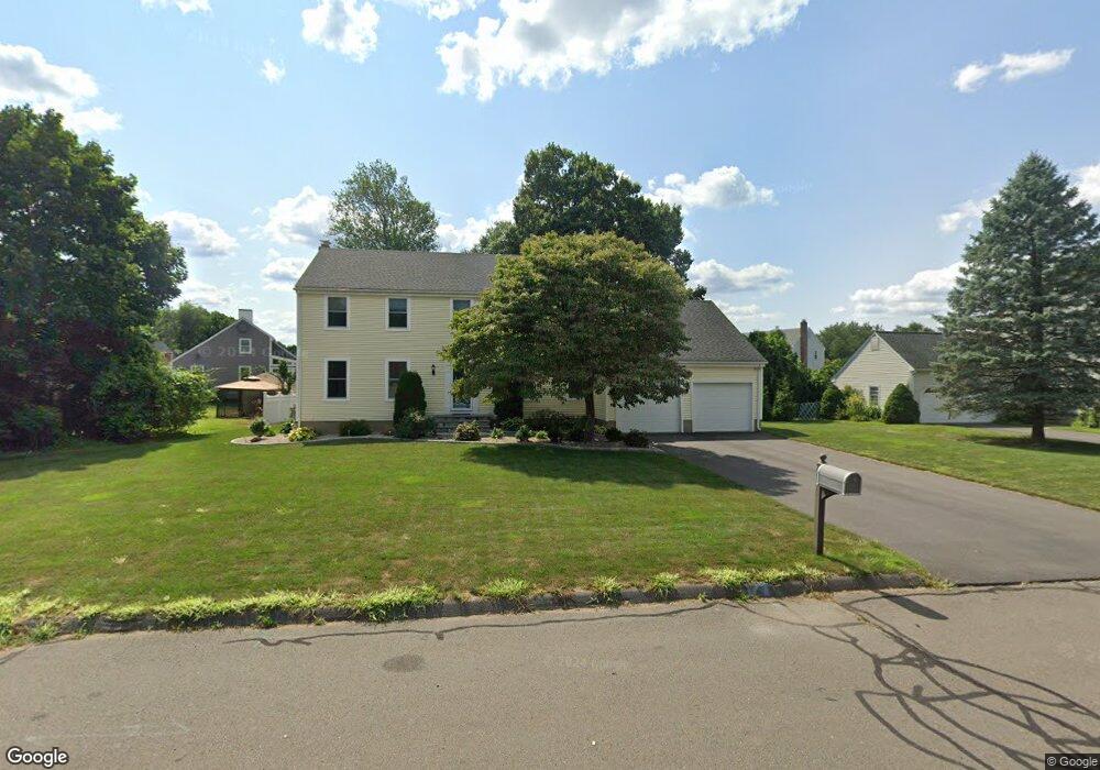
11 Harvest Hill Wethersfield, CT 06109
Estimated Value: $597,000 - $662,000
4
Beds
3
Baths
2,881
Sq Ft
$222/Sq Ft
Est. Value
About This Home
This home is located at 11 Harvest Hill, Wethersfield, CT 06109 and is currently estimated at $638,885, approximately $221 per square foot. 11 Harvest Hill is a home located in Hartford County with nearby schools including Samuel B. Webb Elementary School, Silas Deane Middle School, and Wethersfield High School.
Ownership History
Date
Name
Owned For
Owner Type
Purchase Details
Closed on
Jan 6, 2017
Sold by
Brunelle Raymond and Brunelle Mary
Bought by
Pengte Sarentuya
Current Estimated Value
Home Financials for this Owner
Home Financials are based on the most recent Mortgage that was taken out on this home.
Original Mortgage
$190,400
Outstanding Balance
$156,502
Interest Rate
4.03%
Mortgage Type
Purchase Money Mortgage
Estimated Equity
$482,383
Purchase Details
Closed on
Jan 21, 2016
Sold by
Est Burkhardt Joan R and Burkhardt Kevin
Bought by
Schiro Philip
Home Financials for this Owner
Home Financials are based on the most recent Mortgage that was taken out on this home.
Original Mortgage
$276,000
Interest Rate
3.98%
Create a Home Valuation Report for This Property
The Home Valuation Report is an in-depth analysis detailing your home's value as well as a comparison with similar homes in the area
Home Values in the Area
Average Home Value in this Area
Purchase History
| Date | Buyer | Sale Price | Title Company |
|---|---|---|---|
| Pengte Sarentuya | $272,000 | -- | |
| Schiro Philip | $345,000 | -- |
Source: Public Records
Mortgage History
| Date | Status | Borrower | Loan Amount |
|---|---|---|---|
| Open | Schiro Philip | $190,400 | |
| Previous Owner | Schiro Philip | $276,000 | |
| Previous Owner | Schiro Philip | $56,000 | |
| Previous Owner | Schiro Philip | $80,000 |
Source: Public Records
Tax History Compared to Growth
Tax History
| Year | Tax Paid | Tax Assessment Tax Assessment Total Assessment is a certain percentage of the fair market value that is determined by local assessors to be the total taxable value of land and additions on the property. | Land | Improvement |
|---|---|---|---|---|
| 2025 | $16,892 | $409,800 | $110,670 | $299,130 |
| 2024 | $10,996 | $254,430 | $79,100 | $175,330 |
| 2023 | $10,630 | $254,430 | $79,100 | $175,330 |
| 2022 | $10,452 | $254,430 | $79,100 | $175,330 |
| 2021 | $10,348 | $254,430 | $79,100 | $175,330 |
| 2020 | $10,353 | $254,430 | $79,100 | $175,330 |
| 2019 | $10,365 | $254,430 | $79,100 | $175,330 |
| 2018 | $10,101 | $247,700 | $77,100 | $170,600 |
| 2017 | $9,851 | $247,700 | $77,100 | $170,600 |
| 2016 | $9,546 | $247,700 | $77,100 | $170,600 |
| 2015 | $9,460 | $247,700 | $77,100 | $170,600 |
| 2014 | $9,100 | $247,700 | $77,100 | $170,600 |
Source: Public Records
Map
Nearby Homes
- 7 Barrington Dr Unit C
- 83 Apple Hill
- 101 Collier Rd
- 0 Collier Rd
- 104 Willow St
- 274 Cedarwood Ln
- 76 Luca Lane Homesite 8
- 61 Luca Ln
- 8 Stella Dr
- 5 Robeth Ln
- 53 Luca (Homesite 4) Ln
- 14 Ivy Ln
- 6 Vinnie Dr
- 841 Ridge Rd
- 508 Highland St
- 229 Cottonwood Rd Unit 229
- 273 Cottonwood Rd
- 20 Forest Dr
- 155 Old Common Rd
- 47 Forest Dr
- 19 Harvest Hill
- 19 Harvest Hill Unit RD
- 33 Orchard Hill Dr
- 43 Orchard Hill Dr
- 51 Swing Ln
- 6 Harvest Hill
- 16 Harvest Hill
- 29 Harvest Hill
- 24 Harvest Hill
- 51 Orchard Hill Dr
- 52 Swing Ln
- 11 Orchard Hill Dr
- 30 Orchard Hill Dr
- 45 Swing Ln
- 32 Harvest Hill
- 38 Orchard Hill Dr
- 37 Harvest Hill
- 44 Orchard Hill Dr
- 20 Orchard Hill Dr
- 591 Goff Rd