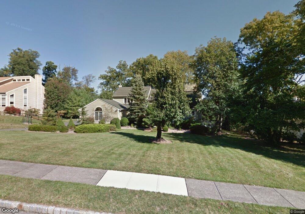
11 Hawthorne Ct Morristown, NJ 07960
Estimated Value: $1,327,086 - $1,632,000
4
Beds
4
Baths
3,677
Sq Ft
$385/Sq Ft
Est. Value
About This Home
This home is located at 11 Hawthorne Ct, Morristown, NJ 07960 and is currently estimated at $1,416,022, approximately $385 per square foot. 11 Hawthorne Ct is a home located in Morris County with nearby schools including Hillcrest School, Thomas Jefferson School, and Sussex Avenue School.
Ownership History
Date
Name
Owned For
Owner Type
Purchase Details
Closed on
Jul 29, 2008
Sold by
Norman James E and Norman Kimberly A
Bought by
Evansky Nicholas Mark and Demeo Alessandra
Current Estimated Value
Home Financials for this Owner
Home Financials are based on the most recent Mortgage that was taken out on this home.
Original Mortgage
$450,000
Interest Rate
5.14%
Mortgage Type
Purchase Money Mortgage
Purchase Details
Closed on
Jun 22, 2004
Sold by
Tsoi David
Bought by
Norman James and Norman Kimberly
Home Financials for this Owner
Home Financials are based on the most recent Mortgage that was taken out on this home.
Original Mortgage
$698,400
Interest Rate
6.28%
Create a Home Valuation Report for This Property
The Home Valuation Report is an in-depth analysis detailing your home's value as well as a comparison with similar homes in the area
Home Values in the Area
Average Home Value in this Area
Purchase History
| Date | Buyer | Sale Price | Title Company |
|---|---|---|---|
| Evansky Nicholas Mark | $829,000 | None Available | |
| Norman James | $873,000 | -- |
Source: Public Records
Mortgage History
| Date | Status | Borrower | Loan Amount |
|---|---|---|---|
| Previous Owner | Evansky Nicholas Mark | $450,000 | |
| Previous Owner | Norman James | $698,400 |
Source: Public Records
Tax History Compared to Growth
Tax History
| Year | Tax Paid | Tax Assessment Tax Assessment Total Assessment is a certain percentage of the fair market value that is determined by local assessors to be the total taxable value of land and additions on the property. | Land | Improvement |
|---|---|---|---|---|
| 2025 | $16,404 | $819,400 | $299,000 | $520,400 |
| 2024 | $16,429 | $819,400 | $299,000 | $520,400 |
| 2023 | $16,429 | $819,400 | $299,000 | $520,400 |
| 2022 | $15,667 | $819,400 | $299,000 | $520,400 |
| 2021 | $15,667 | $819,400 | $299,000 | $520,400 |
| 2020 | $15,257 | $819,400 | $299,000 | $520,400 |
| 2019 | $15,020 | $819,400 | $299,000 | $520,400 |
| 2018 | $14,856 | $819,400 | $299,000 | $520,400 |
| 2017 | $14,757 | $819,400 | $299,000 | $520,400 |
| 2016 | $14,528 | $819,400 | $299,000 | $520,400 |
| 2015 | $15,109 | $595,800 | $238,700 | $357,100 |
| 2014 | $14,913 | $595,800 | $238,700 | $357,100 |
Source: Public Records
Map
Nearby Homes
- 22 Walt Whitman Trail
- 183 Lake Rd
- 242 Lake Rd
- 28 Wildflower Ln
- 76 Hancock Dr Unit 125
- 144 Lake Rd
- 4 Elder Dr
- 32 Valley View St W
- 34 Starlight Dr
- 1 Jardine Ct
- 17 Meslar Rd
- 69 W Hanover Ave
- 160 W Hanover Ave
- 480 Sussex Place
- 1 Cleveland Ave
- 44 Averell Dr
- 2 Bickford Dr
- 40 Lord William Penn Dr
- 16 Sherman Ave
- 41 Beverly St
- 15 Hawthorne Ct
- 9 Hawthorne Ct
- 16 Walt Whitman Trail
- 18 Walt Whitman Trail
- 12 Hawthorne Ct
- 14 Walt Whitman Trail
- 17 Hawthorne Ct
- 10 Hawthorne Ct
- 5 Hawthorne Ct
- 20 Walt Whitman Trail
- 16 Hawthorne Ct
- 8 Hawthorne Ct
- 18 Hawthorne Ct
- 1 Hawthorne Ct
- 17 Walt Whitman Trail
- 2 Devonshire Ct
- 19 Hawthorne Ct
- 19 Walt Whitman Trail
- 15 Walt Whitman Trail
- 17 Millstone Ct