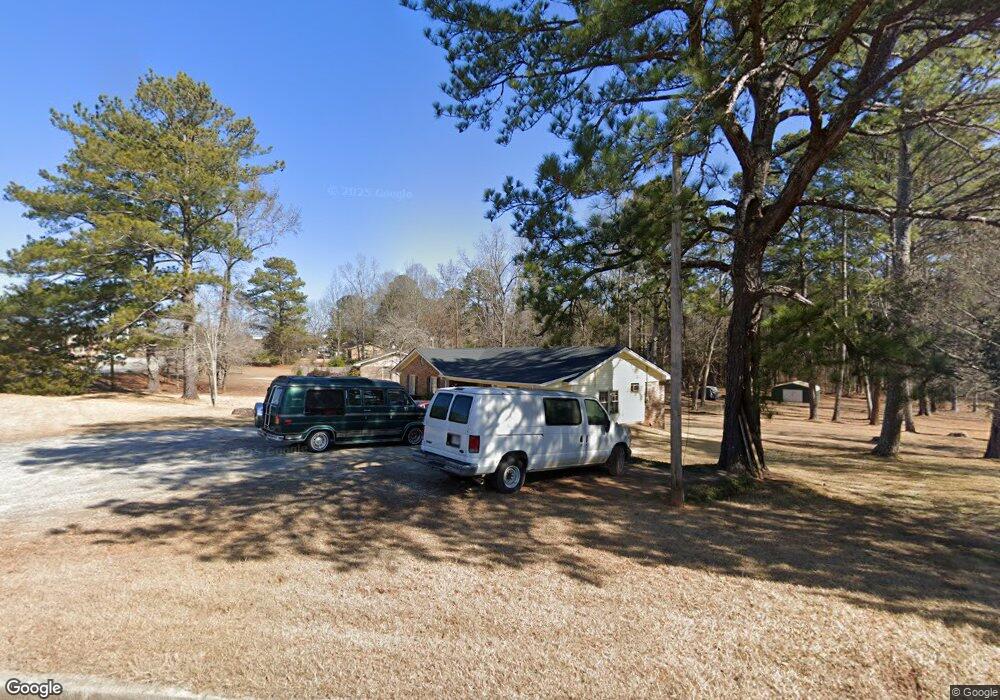
11 Hemphill Rd Griffin, GA 30224
Spalding County NeighborhoodEstimated Value: $225,862 - $277,000
3
Beds
2
Baths
1,669
Sq Ft
$153/Sq Ft
Est. Value
About This Home
This home is located at 11 Hemphill Rd, Griffin, GA 30224 and is currently estimated at $255,466, approximately $153 per square foot. 11 Hemphill Rd is a home located in Spalding County with nearby schools including Moreland Road Elementary School, Carver Road Middle School, and Spalding High School.
Ownership History
Date
Name
Owned For
Owner Type
Purchase Details
Closed on
Oct 6, 2009
Sold by
Collins Margaret L
Bought by
Gunn Rhonda G
Current Estimated Value
Purchase Details
Closed on
Jul 29, 2009
Sold by
Collins W L
Bought by
Collins Margarete L
Purchase Details
Closed on
Jun 30, 1978
Sold by
Breadon Judy L
Bought by
Collins Collins W and Collins Margaret
Purchase Details
Closed on
Sep 23, 1976
Sold by
Brown Larry J
Bought by
Breadon Judy L
Purchase Details
Closed on
May 23, 1975
Sold by
Crossfield R H
Bought by
Brown Larry J and Brown Claris
Create a Home Valuation Report for This Property
The Home Valuation Report is an in-depth analysis detailing your home's value as well as a comparison with similar homes in the area
Home Values in the Area
Average Home Value in this Area
Purchase History
| Date | Buyer | Sale Price | Title Company |
|---|---|---|---|
| Gunn Rhonda G | -- | -- | |
| Collins Margarete L | -- | -- | |
| Collins Collins W | $5,100 | -- | |
| Breadon Judy L | $3,000 | -- | |
| Brown Larry J | $33,900 | -- |
Source: Public Records
Tax History
| Year | Tax Paid | Tax Assessment Tax Assessment Total Assessment is a certain percentage of the fair market value that is determined by local assessors to be the total taxable value of land and additions on the property. | Land | Improvement |
|---|---|---|---|---|
| 2025 | $2,367 | $66,168 | $8,280 | $57,888 |
| 2024 | $2,341 | $66,168 | $8,280 | $57,888 |
| 2023 | $2,012 | $49,203 | $8,280 | $40,923 |
| 2022 | $1,521 | $41,832 | $7,200 | $34,632 |
| 2021 | $1,388 | $38,177 | $7,200 | $30,977 |
| 2020 | $1,325 | $36,312 | $6,840 | $29,472 |
| 2019 | $1,352 | $36,312 | $6,840 | $29,472 |
| 2018 | $0 | $33,586 | $6,840 | $26,746 |
| 2017 | $1,249 | $33,586 | $6,840 | $26,746 |
| 2016 | $1,271 | $33,586 | $6,840 | $26,746 |
| 2015 | $1,309 | $33,586 | $6,840 | $26,746 |
| 2014 | $1,335 | $33,586 | $6,840 | $26,746 |
Source: Public Records
Map
Nearby Homes
- 15390 U S Highway 19 Hwy
- 15046 U S 19
- 221 Hidden Falls Walk
- 15040 Highway 19
- 15040 U S Highway 19
- 120 Huntington Terrace
- 103 Huntington Terrace
- 211 Clark Rd
- 2168 Carver Rd
- 1117 Birchwood Dr
- 1133 Birchwood Dr Unit 29
- 138 Townsend Ct
- 119 Townsend Ct
- 135 Townsend Ct
- 1200 White Oak Way
- 7 Crabapple Cir
- 1522 Zebulon Rd
- 1212 White Oak Way
- 105 Ruby Way
- 131 Bramble Way
- 1820 Zebulon Rd
- 21 Hemphill Rd
- 1800 Zebulon Rd
- 1796 Zebulon Rd
- 0 Buchanan Rd Unit 21 7142457
- 0 Buchanan Rd Unit 21 7247109
- 31 Hemphill Rd
- 106 Southbrook Dr
- 1790 Zebulon Rd
- 108 Southbrook Dr
- 110 Southbrook Dr Unit 20
- 110 Southbrook Dr
- 45 Hemphill Rd
- 1788 Zebulon Rd
- 112 Southbrook Dr
- 114 Southbrook Dr
- 1831 Zebulon Rd
- 67 Hemphill Rd
- 1742 Zebulon Rd
- 1742 Zebulon Rd Unit SUITE J
Your Personal Tour Guide
Ask me questions while you tour the home.