11 High Point Commons Marlborough, CT 06447
Middle Haddam NeighborhoodEstimated Value: $711,000 - $811,000
4
Beds
4
Baths
3,642
Sq Ft
$209/Sq Ft
Est. Value
About This Home
This home is located at 11 High Point Commons, Marlborough, CT 06447 and is currently estimated at $762,527, approximately $209 per square foot. 11 High Point Commons is a home with nearby schools including Memorial School, Center Elementary School, and East Hampton Middle School.
Ownership History
Date
Name
Owned For
Owner Type
Purchase Details
Closed on
Jan 11, 2016
Sold by
Dietz Robert M
Bought by
Robert M Dietz Ret and Dietz Robert M
Current Estimated Value
Purchase Details
Closed on
Apr 29, 2008
Sold by
Relocation Prudential
Bought by
Dietz Robert M and Fahey Maureen A
Purchase Details
Closed on
Nov 14, 2005
Sold by
Manner Dorothy G
Bought by
Ridgley Thad
Purchase Details
Closed on
Sep 17, 2003
Sold by
Roper Robert O and Roper Darcy P
Bought by
Manner Dorothy G
Create a Home Valuation Report for This Property
The Home Valuation Report is an in-depth analysis detailing your home's value as well as a comparison with similar homes in the area
Home Values in the Area
Average Home Value in this Area
Purchase History
| Date | Buyer | Sale Price | Title Company |
|---|---|---|---|
| Robert M Dietz Ret | -- | -- | |
| Robert M Dietz Ret | -- | -- | |
| Dietz Robert M | $480,000 | -- | |
| Relocation Prudential | $480,000 | -- | |
| Dietz Robert M | $480,000 | -- | |
| Ridgley Thad | $495,000 | -- | |
| Ridgley Thad | $495,000 | -- | |
| Manner Dorothy G | $415,000 | -- | |
| Manner Dorothy G | $415,000 | -- |
Source: Public Records
Mortgage History
| Date | Status | Borrower | Loan Amount |
|---|---|---|---|
| Open | Manner Dorothy G | $50,000 | |
| Previous Owner | Manner Dorothy G | $19,000 |
Source: Public Records
Tax History Compared to Growth
Tax History
| Year | Tax Paid | Tax Assessment Tax Assessment Total Assessment is a certain percentage of the fair market value that is determined by local assessors to be the total taxable value of land and additions on the property. | Land | Improvement |
|---|---|---|---|---|
| 2025 | $12,469 | $314,010 | $75,640 | $238,370 |
| 2024 | $11,945 | $314,010 | $75,650 | $238,360 |
| 2023 | $11,323 | $314,010 | $75,650 | $238,360 |
| 2022 | $10,883 | $314,000 | $75,640 | $238,360 |
| 2021 | $10,842 | $314,000 | $75,640 | $238,360 |
| 2020 | $10,639 | $321,040 | $75,650 | $245,390 |
| 2019 | $10,051 | $303,300 | $56,160 | $247,140 |
| 2018 | $9,499 | $303,300 | $56,160 | $247,140 |
| 2017 | $9,499 | $303,300 | $56,160 | $247,140 |
| 2016 | $8,929 | $303,300 | $56,160 | $247,140 |
| 2015 | $8,719 | $313,870 | $68,800 | $245,070 |
| 2014 | $7,586 | $313,870 | $68,800 | $245,070 |
Source: Public Records
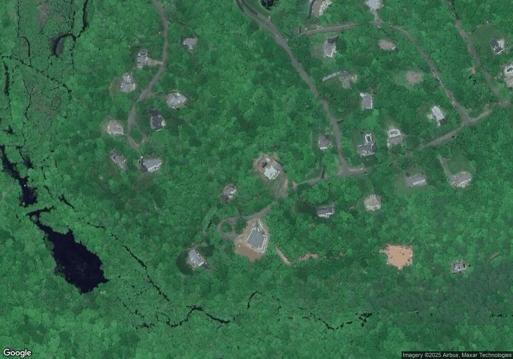
Map
Nearby Homes
- 29 High Point Dr
- 58 Middle Haddam Rd
- 20 Keighley Pond Rd
- 9 Long Hill Rd
- 0 Gadpouch Rd
- 8 Aldens Crossing
- 46 Chestnut Hill Rd
- 76 Maple Rd
- 0 Jobs Pond Rd
- 291 Hog Hill Rd
- 28 Childs Rd
- 92 Pepperidge Rd
- 36 Champion Hill Rd
- 11 Nutmeg Ln
- 6 Carriage Dr
- 76 Skinner St
- 37 S Main St
- 152 Main St
- 14 Main St
- 0 Gildersleeve Rd
- 15 High Point Dr
- 15 High Point Commons
- 7 High Point Commons
- 23 High Point Dr
- 3 High Point Commons
- 3 High Point Dr
- 19 High Point Dr
- 12 Shipyard Rd
- 11 High Point Dr
- 55 Middle Haddam Rd
- 4 Shipyard Rd
- 49 Leesville Rd
- 55 Leesville Rd
- 57 Leesville Rd
- 57 Middle Haddam Rd
- 18 Shipyard Rd
- 5 Shipyard Rd
- 41 Middle Haddam Rd
- 7 High Point Dr
- 59 Leesville Rd