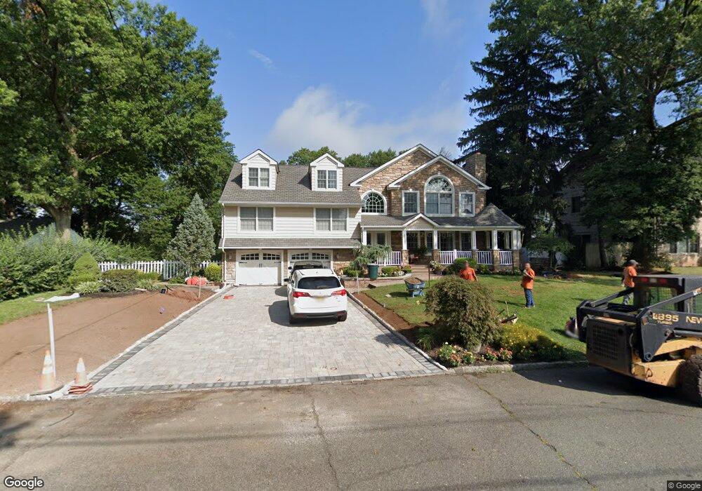
11 High Point Dr Springfield, NJ 07081
Estimated Value: $986,000 - $1,193,583
Studio
--
Bath
2,994
Sq Ft
$372/Sq Ft
Est. Value
About This Home
This home is located at 11 High Point Dr, Springfield, NJ 07081 and is currently estimated at $1,114,146, approximately $372 per square foot. 11 High Point Dr is a home located in Union County with nearby schools including Jonathan Dayton High School and Oak Knoll School of the Holy Child.
Ownership History
Date
Name
Owned For
Owner Type
Purchase Details
Closed on
Oct 31, 2007
Sold by
Denner Michael J and Denner Marc P
Bought by
Podberezniak Andrew and Podberezniak Helen
Current Estimated Value
Home Financials for this Owner
Home Financials are based on the most recent Mortgage that was taken out on this home.
Original Mortgage
$417,000
Outstanding Balance
$265,063
Interest Rate
6.47%
Mortgage Type
Purchase Money Mortgage
Estimated Equity
$849,083
Purchase Details
Closed on
Aug 30, 2006
Sold by
Denner Michael J
Bought by
Denner Marc P and Ecker Susan R
Purchase Details
Closed on
Nov 16, 1999
Sold by
Denner Edward and Denner Beverly L
Bought by
Denner Beverly L
Create a Home Valuation Report for This Property
The Home Valuation Report is an in-depth analysis detailing your home's value as well as a comparison with similar homes in the area
Home Values in the Area
Average Home Value in this Area
Purchase History
| Date | Buyer | Sale Price | Title Company |
|---|---|---|---|
| Podberezniak Andrew | $670,000 | Commonwealth | |
| Denner Marc P | -- | -- | |
| Denner Beverly L | -- | -- |
Source: Public Records
Mortgage History
| Date | Status | Borrower | Loan Amount |
|---|---|---|---|
| Open | Podberezniak Andrew | $417,000 |
Source: Public Records
Tax History
| Year | Tax Paid | Tax Assessment Tax Assessment Total Assessment is a certain percentage of the fair market value that is determined by local assessors to be the total taxable value of land and additions on the property. | Land | Improvement |
|---|---|---|---|---|
| 2025 | $20,976 | $883,200 | $321,400 | $561,800 |
| 2024 | $20,632 | $883,200 | $321,400 | $561,800 |
| 2023 | $20,632 | $883,200 | $321,400 | $561,800 |
| 2022 | $19,157 | $883,200 | $321,400 | $561,800 |
| 2021 | $22,536 | $302,700 | $104,700 | $198,000 |
| 2020 | $22,185 | $302,700 | $104,700 | $198,000 |
| 2019 | $21,885 | $302,700 | $104,700 | $198,000 |
| 2018 | $21,492 | $302,700 | $104,700 | $198,000 |
| 2017 | $20,901 | $302,700 | $104,700 | $198,000 |
| 2016 | $20,496 | $302,700 | $104,700 | $198,000 |
| 2015 | $20,257 | $302,700 | $104,700 | $198,000 |
| 2014 | $19,875 | $302,700 | $104,700 | $198,000 |
Source: Public Records
Map
Nearby Homes
- 14 Skylark Rd
- 34 Ascot Way
- 1098 Sunny Slope Dr
- 427 Summit Rd
- 423 Summit Rd
- 373 Upland Rd
- 105 Larned Rd
- 62 Mountain Ave
- 4 Parkview Terrace
- 29 Ashwood Ave
- 701 Mountain Ave
- 28 Shunpike Rd
- 67 Tulip St
- 64 Tulip St
- 272 Old Tote Rd
- 61 Tulip St
- 40 Prospect St
- 206 Echo Ridge Way
- 37-39 Edison Dr
- 28 Morris Ave Unit DD
- 15 High Point Dr
- 9 Highpoint Dr
- 228 Summit Rd
- 5 Highpoint Dr
- 6 Outlook Way
- 21 High Point Dr
- 500 Summit Rd
- 220 Summit Rd
- 14 Outlook Way
- 12 High Point Dr
- 18 High Point Dr
- 10 High Point Dr
- 10 Highpoint Dr
- 6 Highpoint Dr
- 1 Highpoint Dr
- 2 Outlook Way
- 29 High Point Dr
- 503 Summit Rd
- 1 Fernhill Rd
- 1001 Sylvan Ln
Your Personal Tour Guide
Ask me questions while you tour the home.