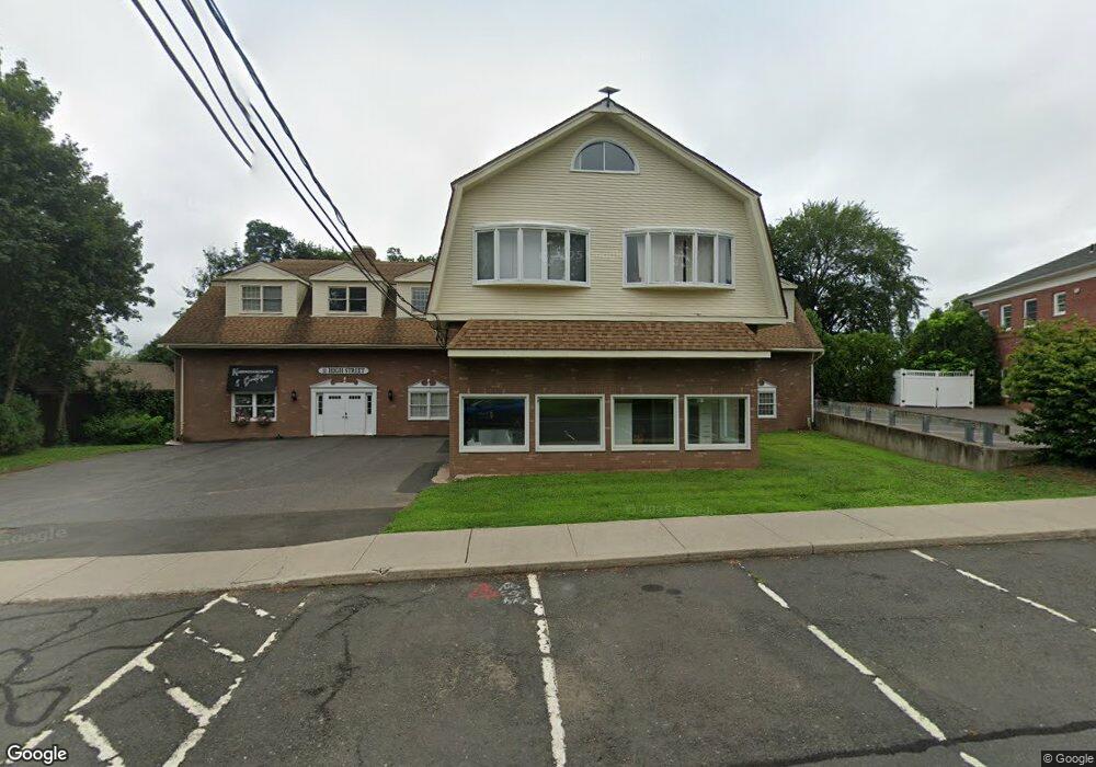
11 High St Suffield, CT 06078
Studio
--
Bath
12,930
Sq Ft
0.74
Acres Lot
About This Home
This home is located at 11 High St, Suffield, CT 06078. 11 High St is a home located in Hartford County with nearby schools including A. Ward Spaulding School, Mcalister Intermediate School, and Suffield Middle School.
Ownership History
Date
Name
Owned For
Owner Type
Purchase Details
Closed on
Mar 18, 2026
Sold by
Eastwoods Associates Llc
Bought by
Suffield Realty Llc
Home Financials for this Owner
Home Financials are based on the most recent Mortgage that was taken out on this home.
Original Mortgage
$1,200,000
Outstanding Balance
$1,192,682
Interest Rate
6.01%
Mortgage Type
Future Advance Clause Open End Mortgage
Purchase Details
Closed on
Sep 11, 2014
Sold by
Capital 3 Development
Bought by
Liberty Transportation
Purchase Details
Closed on
Jun 4, 2010
Sold by
11 High Street Inc
Bought by
Liberty Transpotation
Create a Home Valuation Report for This Property
The Home Valuation Report is an in-depth analysis detailing your home's value as well as a comparison with similar homes in the area
Home Values in the Area
Average Home Value in this Area
Purchase History
We collect this data history from publicly available records. To have your information removed, we recommend requesting removal directly through your county’s website.
| Date | Buyer | Sale Price | Title Company |
|---|---|---|---|
| Suffield Realty Llc | -- | -- | |
| Liberty Transportation | -- | -- | |
| Liberty Transpotation | -- | -- |
Source: Public Records
Mortgage History
We collect this data history from publicly available records. To have your information removed, we recommend requesting removal directly through your county’s website.
| Date | Status | Borrower | Loan Amount |
|---|---|---|---|
| Open | Suffield Realty Llc | $1,200,000 | |
| Previous Owner | Liberty Transpotation | $880,000 |
Source: Public Records
Tax History
| Year | Tax Paid | Tax Assessment Tax Assessment Total Assessment is a certain percentage of the fair market value that is determined by local assessors to be the total taxable value of land and additions on the property. | Land | Improvement |
|---|---|---|---|---|
| 2025 | $12,290 | $525,000 | $73,150 | $451,850 |
| 2024 | $11,881 | $525,000 | $73,150 | $451,850 |
| 2023 | $14,039 | $490,700 | $73,010 | $417,690 |
| 2022 | $14,039 | $490,700 | $73,010 | $417,690 |
| 2021 | $14,054 | $490,700 | $73,010 | $417,690 |
| 2020 | $14,054 | $490,700 | $73,010 | $417,690 |
| 2019 | $14,093 | $490,700 | $73,010 | $417,690 |
| 2018 | $13,220 | $450,870 | $73,010 | $377,860 |
| 2017 | $13,026 | $450,870 | $73,010 | $377,860 |
| 2016 | $13,078 | $463,750 | $73,010 | $390,740 |
| 2015 | $12,883 | $463,750 | $73,010 | $390,740 |
| 2014 | $12,577 | $463,750 | $73,010 | $390,740 |
Source: Public Records
Map
Nearby Homes
- 52 S Main St
- 86 Brandywine Ln
- 186 S Main St
- 39 Marbern Dr
- 0 Suffield St Unit 24093452
- 0 Suffield St Unit 24057050
- 0 Stone St S Unit 24039713
- 371 N Main St
- 90 Russell Ave
- 5 Limric Ln
- 551 N Main St
- 392 Boston Neck Rd
- 500 Thrall Ave
- 57 Thistledown
- 763 North St
- 625 Mather St
- 98 Kildeer Ln
- 100 Susan Dr
- 44 Farmstead Ln
- 949 North St
- 000 lot. Mountain Rd
- 0 Mountain Rd Unit 170116737
- 0 Mountain Rd Unit 170031914
- 0 Mountain Rd Unit G531577
- 0 Mountain Rd Unit G580804
- 0 Mountain Rd Unit G628222
- 0 Mountain Rd Unit G655688
- 0 Mountain Rd Unit G667639
- 0 Mountain Rd Unit G667637
- 0 Mountain Rd Unit G667633
- 0 Mountain Rd Unit G691373
- 0 Mountain Rd Unit G10088615
- 0 Mountain Rd Unit G10197351
- 0 Mountain Rd Unit G10118506
- 0 Mountain Rd Unit 170585516
- 0 Mountain Rd Unit 70684622
- Lots 1&2 Mountain Rd
- 1 Mountain Rd
- 1 Mountain Rd Unit 202
- 1 Mountain Rd Unit 203
Your Personal Tour Guide
Ask me questions while you tour the home.