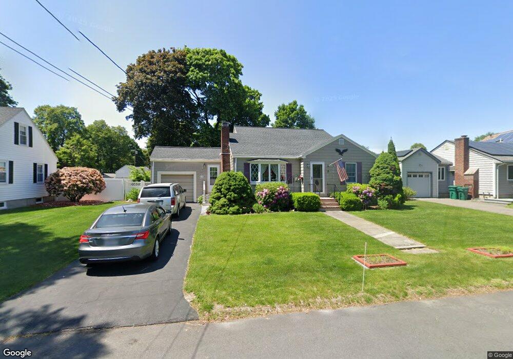
11 Hilda Rd Lynn, MA 01904
Lynn Woods NeighborhoodEstimated Value: $598,000 - $656,174
3
Beds
2
Baths
1,603
Sq Ft
$391/Sq Ft
Est. Value
About This Home
This home is located at 11 Hilda Rd, Lynn, MA 01904 and is currently estimated at $627,544, approximately $391 per square foot. 11 Hilda Rd is a home located in Essex County with nearby schools including Highland Elementary School, Capt. William G. Shoemaker Elementary School, and William R. Fallon School.
Ownership History
Date
Name
Owned For
Owner Type
Purchase Details
Closed on
Nov 21, 2005
Sold by
Loughlin Kevin J
Bought by
Thivierge Helen and Thivierge Herve
Current Estimated Value
Purchase Details
Closed on
Jan 12, 2005
Sold by
Meechin Patricia
Bought by
Loughlin Kevin
Home Financials for this Owner
Home Financials are based on the most recent Mortgage that was taken out on this home.
Original Mortgage
$282,800
Interest Rate
5.81%
Mortgage Type
Purchase Money Mortgage
Purchase Details
Closed on
Sep 16, 2004
Sold by
Twomey William H
Bought by
Meechin Patricia
Home Financials for this Owner
Home Financials are based on the most recent Mortgage that was taken out on this home.
Original Mortgage
$319,250
Interest Rate
6.02%
Mortgage Type
Purchase Money Mortgage
Create a Home Valuation Report for This Property
The Home Valuation Report is an in-depth analysis detailing your home's value as well as a comparison with similar homes in the area
Home Values in the Area
Average Home Value in this Area
Purchase History
| Date | Buyer | Sale Price | Title Company |
|---|---|---|---|
| Thivierge Helen | $363,000 | -- | |
| Thivierge Helen | $363,000 | -- | |
| Loughlin Kevin | $353,500 | -- | |
| Loughlin Kevin | $353,500 | -- | |
| Meechin Patricia | $319,250 | -- | |
| Meechin Patricia | $319,250 | -- | |
| Meechin Patricia | $319,250 | -- |
Source: Public Records
Mortgage History
| Date | Status | Borrower | Loan Amount |
|---|---|---|---|
| Previous Owner | Loughlin Kevin | $282,800 | |
| Previous Owner | Meechin Patricia | $319,250 |
Source: Public Records
Tax History Compared to Growth
Tax History
| Year | Tax Paid | Tax Assessment Tax Assessment Total Assessment is a certain percentage of the fair market value that is determined by local assessors to be the total taxable value of land and additions on the property. | Land | Improvement |
|---|---|---|---|---|
| 2025 | $6,188 | $597,300 | $220,000 | $377,300 |
| 2024 | $5,804 | $551,200 | $203,500 | $347,700 |
| 2023 | $5,598 | $502,100 | $196,600 | $305,500 |
| 2022 | $5,557 | $447,100 | $164,500 | $282,600 |
| 2021 | $5,277 | $405,000 | $161,700 | $243,300 |
| 2020 | $5,368 | $400,600 | $171,300 | $229,300 |
| 2019 | $5,241 | $366,500 | $148,400 | $218,100 |
| 2018 | $5,278 | $348,400 | $161,200 | $187,200 |
| 2017 | $4,909 | $314,700 | $138,700 | $176,000 |
| 2016 | $4,733 | $292,500 | $126,800 | $165,700 |
| 2015 | $4,579 | $273,400 | $126,800 | $146,600 |
Source: Public Records
Map
Nearby Homes
- 33 Ritchie Rd
- 28 Elmwood Cir
- 50 Cumberland Cir
- 10 Standish Way
- 714 Lynnfield St
- 3 Ralph Rd
- 63 Crooker Dr
- 12 Mansfield St
- 16 Sarah's Way
- 1100 Salem St Unit 58
- 1100 Salem St Unit 46
- 1100 Salem St Unit 93
- 1100 Salem St Unit 75
- 325 Den Quarry Rd
- 1200 Salem St Unit 127
- 1200 Salem St Unit 182
- 115 Quinn Rd
- 217 Cedar Brook Rd
- 45 Anchor Rd
- 37 Locust St