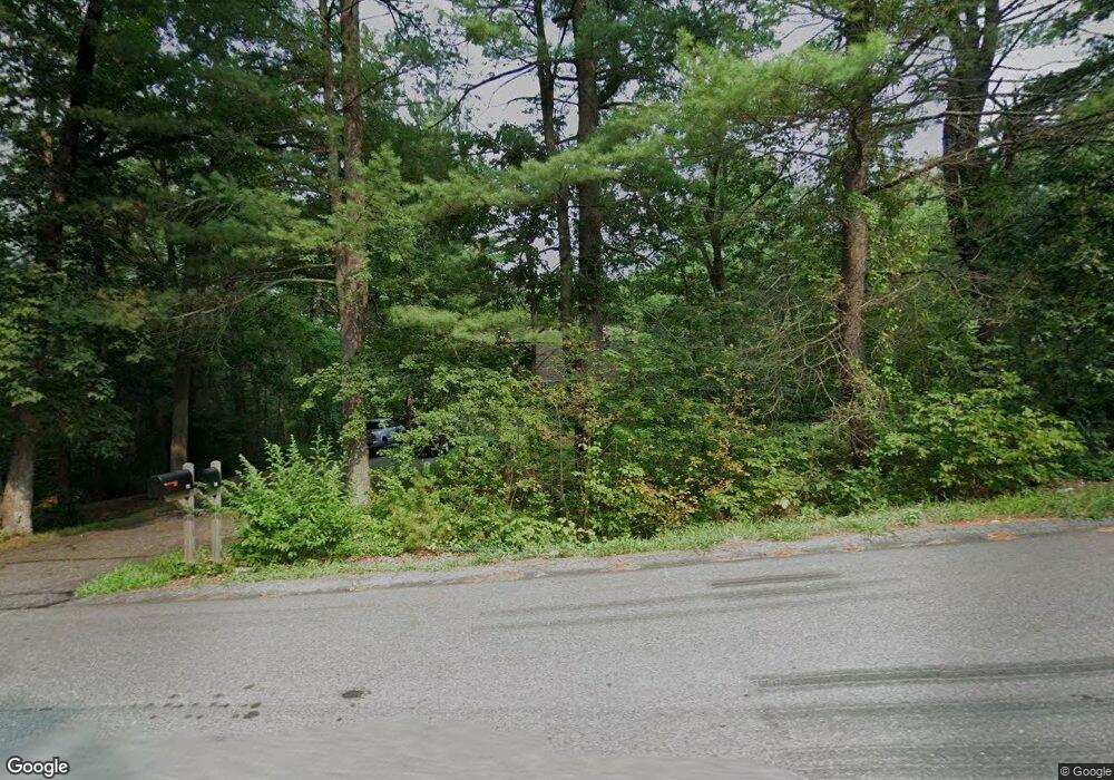
11 Howard Rd Westford, MA 01886
Estimated Value: $699,000 - $949,000
3
Beds
3
Baths
1,632
Sq Ft
$482/Sq Ft
Est. Value
About This Home
This home is located at 11 Howard Rd, Westford, MA 01886 and is currently estimated at $786,619, approximately $481 per square foot. 11 Howard Rd is a home located in Middlesex County with nearby schools including Col John Robinson, John A. Crisafulli Elementary School, and Blanchard Middle School.
Create a Home Valuation Report for This Property
The Home Valuation Report is an in-depth analysis detailing your home's value as well as a comparison with similar homes in the area
Home Values in the Area
Average Home Value in this Area
Tax History Compared to Growth
Tax History
| Year | Tax Paid | Tax Assessment Tax Assessment Total Assessment is a certain percentage of the fair market value that is determined by local assessors to be the total taxable value of land and additions on the property. | Land | Improvement |
|---|---|---|---|---|
| 2025 | $7,550 | $548,300 | $303,700 | $244,600 |
| 2024 | $7,550 | $548,300 | $303,700 | $244,600 |
| 2023 | $7,522 | $509,600 | $289,300 | $220,300 |
| 2022 | $7,688 | $476,900 | $255,100 | $221,800 |
| 2021 | $7,322 | $440,000 | $255,100 | $184,900 |
| 2020 | $7,205 | $441,200 | $255,100 | $186,100 |
| 2019 | $6,121 | $427,000 | $255,100 | $171,900 |
| 2018 | $4,105 | $415,900 | $244,000 | $171,900 |
| 2017 | $6,474 | $394,500 | $244,000 | $150,500 |
| 2016 | $6,222 | $381,700 | $230,100 | $151,600 |
| 2015 | $6,178 | $380,400 | $227,800 | $152,600 |
| 2014 | $6,062 | $365,200 | $218,400 | $146,800 |
Source: Public Records
Map
Nearby Homes
- 1 Thistle Ln
- 1 Courtney Ln
- 4 Casie Ln
- 5 Colonel Rolls Dr
- 8 Sandy Beach Rd
- 66 Patten Rd
- 16 Abbot St
- 16 Main St Unit 2
- 28 Graniteville Rd
- 20 Dean Ln Unit 20
- 115 Goldsmith St
- 1 Woodridge Ln
- 25 Laurel Rd
- 150 Goldsmith St
- 336 King St Unit 105
- 38 George St
- 7 Mill Park Place
- 54 Orchid Dr
- 17 Carlisle Rd
- 66 N Main St Unit 66
