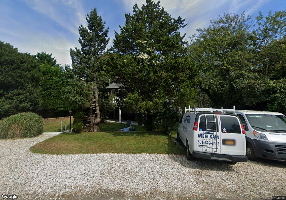
11 Hoyt Place Montauk, NY 11954
Estimated Value: $1,082,000 - $2,234,000
--
Bed
--
Bath
--
Sq Ft
6,970
Sq Ft Lot
About This Home
This home is located at 11 Hoyt Place, Montauk, NY 11954 and is currently estimated at $1,490,885. 11 Hoyt Place is a home located in Suffolk County with nearby schools including Montauk School.
Ownership History
Date
Name
Owned For
Owner Type
Purchase Details
Closed on
May 8, 2020
Sold by
Holden Christopher J Est
Bought by
Holden Richard H
Current Estimated Value
Purchase Details
Closed on
Apr 13, 2012
Sold by
Murphy Daniel
Bought by
Holden Christopher
Home Financials for this Owner
Home Financials are based on the most recent Mortgage that was taken out on this home.
Original Mortgage
$225,000
Interest Rate
4%
Purchase Details
Closed on
Jan 26, 2012
Sold by
Kieffer Barbara and Murphy Barbara
Bought by
Estate Of Thomas Murphy
Create a Home Valuation Report for This Property
The Home Valuation Report is an in-depth analysis detailing your home's value as well as a comparison with similar homes in the area
Home Values in the Area
Average Home Value in this Area
Purchase History
| Date | Buyer | Sale Price | Title Company |
|---|---|---|---|
| Holden Richard H | $900,000 | None Available | |
| Holden Christopher | $625,000 | Peconic Abstract | |
| Estate Of Thomas Murphy | -- | -- |
Source: Public Records
Mortgage History
| Date | Status | Borrower | Loan Amount |
|---|---|---|---|
| Previous Owner | Holden Christopher | $225,000 |
Source: Public Records
Tax History Compared to Growth
Tax History
| Year | Tax Paid | Tax Assessment Tax Assessment Total Assessment is a certain percentage of the fair market value that is determined by local assessors to be the total taxable value of land and additions on the property. | Land | Improvement |
|---|---|---|---|---|
| 2024 | $4,816 | $4,300 | $400 | $3,900 |
| 2023 | $2,408 | $4,300 | $400 | $3,900 |
| 2022 | $4,172 | $4,300 | $400 | $3,900 |
| 2021 | $4,172 | $4,300 | $400 | $3,900 |
| 2020 | $4,158 | $4,300 | $400 | $3,900 |
| 2019 | $4,158 | $0 | $0 | $0 |
| 2018 | $4,172 | $4,300 | $400 | $3,900 |
| 2017 | $4,183 | $4,300 | $400 | $3,900 |
| 2016 | $4,156 | $4,300 | $400 | $3,900 |
| 2015 | -- | $4,300 | $400 | $3,900 |
| 2014 | -- | $4,300 | $400 | $3,900 |
Source: Public Records
Map
Nearby Homes
- 30 Hoppin Ave
- 12 Flagg Ave
- 19 Deforest Rd
- 40 & 42 Deforest Rd
- 40 Deforest Rd
- 42 Deforest Rd
- 100 Deforest Rd Unit 513
- 100 Deforest Rd Unit 25
- 100 Deforest Rd Unit 701
- 100 Deforest Rd Unit 433
- 100 Deforest Rd Unit 305
- 28 Ditch Plains Rd
- 21 S Fulton Dr Unit 29
- 21 S Fulton St Unit 6
- 27 S Fulton Dr
- 86 E Lake Dr
- 41 N Surfside Ave
- 10 Lakeside Ct
- 14 Lakeside Ct
- 9 Hopkins Ave