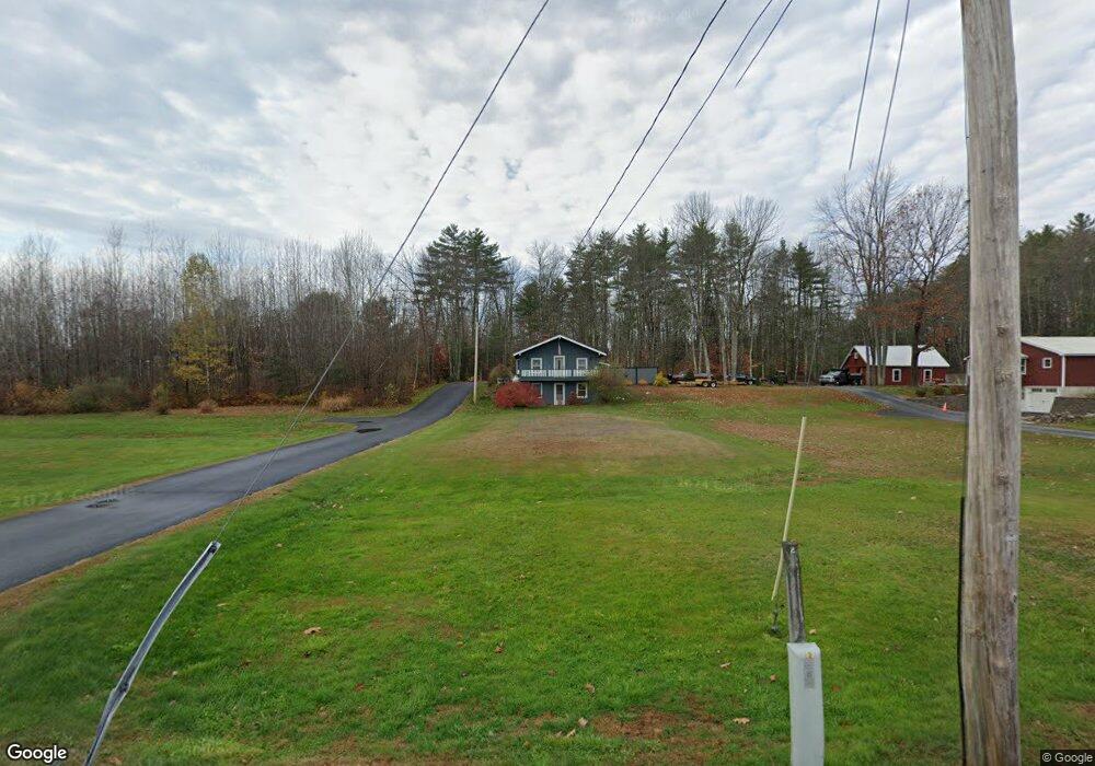
11 Hubbard Ave Limington, ME 04049
Limington NeighborhoodEstimated Value: $337,301 - $497,000
--
Bed
--
Bath
--
Sq Ft
1.96
Acres
About This Home
This home is located at 11 Hubbard Ave, Limington, ME 04049 and is currently estimated at $391,075. 11 Hubbard Ave is a home located in York County with nearby schools including Bonny Eagle High School and Standish Baptist Academy.
Ownership History
Date
Name
Owned For
Owner Type
Purchase Details
Closed on
Jun 12, 2018
Sold by
Lewis Janice H
Bought by
Fradette Robert A and Cushman Katherine A
Current Estimated Value
Home Financials for this Owner
Home Financials are based on the most recent Mortgage that was taken out on this home.
Original Mortgage
$138,000
Outstanding Balance
$80,010
Interest Rate
4%
Mortgage Type
New Conventional
Estimated Equity
$311,065
Create a Home Valuation Report for This Property
The Home Valuation Report is an in-depth analysis detailing your home's value as well as a comparison with similar homes in the area
Home Values in the Area
Average Home Value in this Area
Purchase History
| Date | Buyer | Sale Price | Title Company |
|---|---|---|---|
| Fradette Robert A | -- | -- |
Source: Public Records
Mortgage History
| Date | Status | Borrower | Loan Amount |
|---|---|---|---|
| Open | Fradette Robert A | $138,000 |
Source: Public Records
Tax History Compared to Growth
Tax History
| Year | Tax Paid | Tax Assessment Tax Assessment Total Assessment is a certain percentage of the fair market value that is determined by local assessors to be the total taxable value of land and additions on the property. | Land | Improvement |
|---|---|---|---|---|
| 2025 | $2,788 | $248,900 | $95,700 | $153,200 |
| 2024 | $2,795 | $248,900 | $95,700 | $153,200 |
| 2023 | $2,546 | $248,900 | $95,700 | $153,200 |
| 2022 | $2,071 | $140,400 | $63,800 | $76,600 |
| 2021 | $1,853 | $140,400 | $63,800 | $76,600 |
| 2020 | $1,727 | $140,400 | $63,800 | $76,600 |
| 2019 | $1,684 | $136,940 | $63,840 | $73,100 |
| 2017 | $1,571 | $133,100 | $60,000 | $73,100 |
| 2016 | $1,497 | $133,100 | $60,000 | $73,100 |
| 2015 | $1,451 | $133,100 | $60,000 | $73,100 |
| 2014 | $1,451 | $133,100 | $60,000 | $73,100 |
| 2013 | $1,398 | $133,100 | $60,000 | $73,100 |
Source: Public Records
Map
Nearby Homes
- 10 Chase Mill Rd
- 78 Ossipee Trail
- 1044 Ossipee Trail W
- 3 Lincoln Trail
- 471 Sokokis Ave
- 8 Maplewood Dr
- 584 Sokokis Ave
- 34 Whispering Pine Dr
- 13 Airport Dr Unit O
- 13 Airport Dr Unit Q
- 697 Sokokis Ave
- 31 Dorothy Dr
- 683 Sokokis Ave
- 21 Holiday Ln
- 21 Deer Hill Ave
- 599 Pequawket Trail
- 60 Christian Hill Rd
- 193 Moody Rd
- 419 Middle Rd
- 541 Cape Rd
- 8 Hubbard Ave
- 5 Jones Dr
- 21 Hubbard Ave
- 14 Ossipee Trail
- 14 Ossipee Trail
- 14 Ossipee Trail
- 22 Hardscrabble Rd
- 26 Ossipee Trail
- 25 Hubbard Ave
- 0 Off Hubbard Ave Unit 1084646
- 24 Hubbard Ave
- 18 Hubbard Ave
- 42 Ossipee Trail
- 15 Hardscrabble Rd
- 8 Hardscrabble Rd
- 10 Hardscrabble Rd
- 35 Ossipee Trail
- 26 Hardscrabble Rd
- 21 Hardscrabble Rd
- 19 Hardscrabble Rd