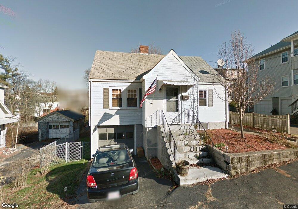
11 Ida St Quincy, MA 02169
South Quincy NeighborhoodEstimated Value: $644,998 - $792,000
3
Beds
2
Baths
1,386
Sq Ft
$502/Sq Ft
Est. Value
About This Home
This home is located at 11 Ida St, Quincy, MA 02169 and is currently estimated at $695,500, approximately $501 per square foot. 11 Ida St is a home located in Norfolk County with nearby schools including South West Middle School, Lincoln-Hancock Community School, and Quincy High School.
Ownership History
Date
Name
Owned For
Owner Type
Purchase Details
Closed on
Jun 25, 2004
Sold by
Wagner Kristin
Bought by
Brow David P and Kermani Mehrdad
Current Estimated Value
Home Financials for this Owner
Home Financials are based on the most recent Mortgage that was taken out on this home.
Original Mortgage
$268,800
Outstanding Balance
$133,250
Interest Rate
6.32%
Mortgage Type
Purchase Money Mortgage
Estimated Equity
$562,250
Purchase Details
Closed on
May 2, 2003
Sold by
Four Ws Ft and Wagner Leo F
Bought by
Wagner Kristin
Home Financials for this Owner
Home Financials are based on the most recent Mortgage that was taken out on this home.
Original Mortgage
$224,000
Interest Rate
5.82%
Mortgage Type
Purchase Money Mortgage
Create a Home Valuation Report for This Property
The Home Valuation Report is an in-depth analysis detailing your home's value as well as a comparison with similar homes in the area
Home Values in the Area
Average Home Value in this Area
Purchase History
| Date | Buyer | Sale Price | Title Company |
|---|---|---|---|
| Brow David P | $336,000 | -- | |
| Wagner Kristin | $280,000 | -- |
Source: Public Records
Mortgage History
| Date | Status | Borrower | Loan Amount |
|---|---|---|---|
| Open | Brow David P | $268,800 | |
| Closed | Brow David P | $50,400 | |
| Previous Owner | Wagner Kristin | $224,000 |
Source: Public Records
Tax History Compared to Growth
Tax History
| Year | Tax Paid | Tax Assessment Tax Assessment Total Assessment is a certain percentage of the fair market value that is determined by local assessors to be the total taxable value of land and additions on the property. | Land | Improvement |
|---|---|---|---|---|
| 2025 | $6,067 | $526,200 | $250,700 | $275,500 |
| 2024 | $5,769 | $511,900 | $238,800 | $273,100 |
| 2023 | $5,256 | $472,200 | $217,100 | $255,100 |
| 2022 | $5,209 | $434,800 | $180,900 | $253,900 |
| 2021 | $5,158 | $424,900 | $180,900 | $244,000 |
| 2020 | $5,214 | $419,500 | $180,900 | $238,600 |
| 2019 | $4,779 | $380,800 | $170,700 | $210,100 |
| 2018 | $4,800 | $359,800 | $158,000 | $201,800 |
| 2017 | $4,556 | $321,500 | $150,500 | $171,000 |
| 2016 | $4,120 | $286,900 | $130,900 | $156,000 |
| 2015 | $4,002 | $274,100 | $130,900 | $143,200 |
| 2014 | $3,768 | $253,600 | $130,900 | $122,700 |
Source: Public Records
Map
Nearby Homes
- 42 West St
- 510 Willard St
- 211 West St Unit 12B
- 211 Copeland St
- 57 Buckley St
- 46-48 Buckley St
- 52 Bunker Hill Ln
- 14 Arthur Ave
- 12 Arthur Ave
- 21 Arthur St
- 46 Suomi Rd
- 46 Suomi Rd Unit 46
- 63 Adele Rd
- 91 Garfield St
- 64 Garfield St Unit B
- 1 Cityview Ln Unit 506
- 1 Cityview Ln Unit 210
- 1 Cityview Ln Unit 709
- 1 Cityview Ln Unit 204
- 21 Totman St Unit 202