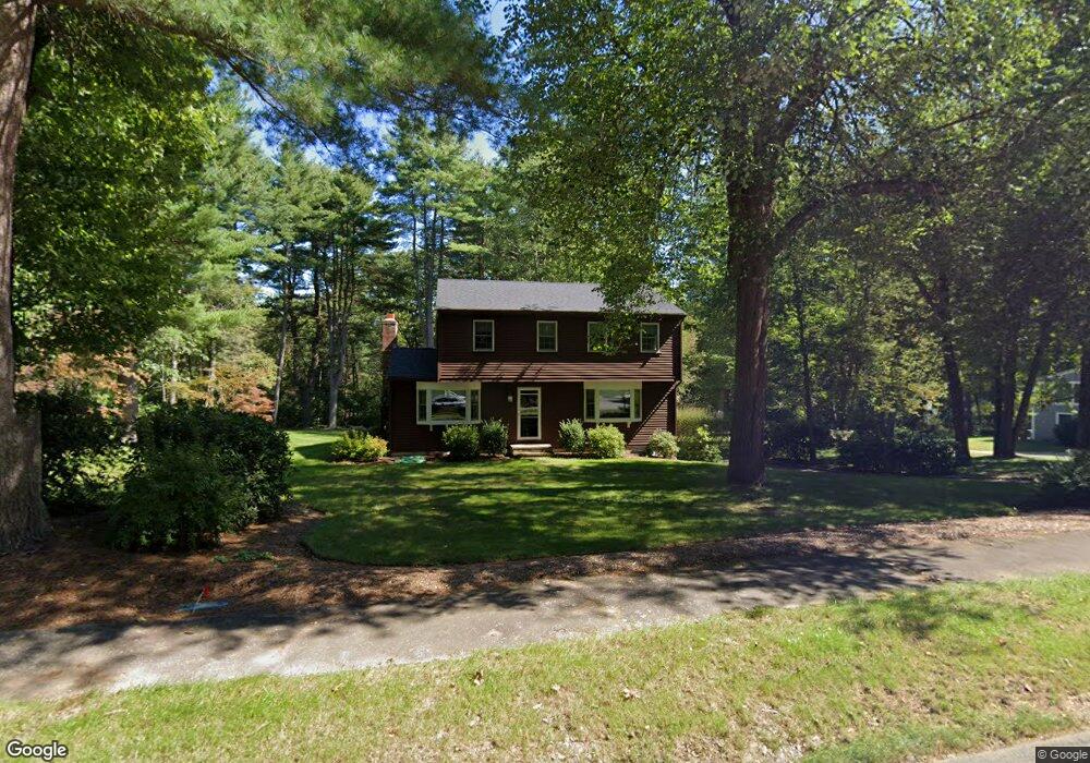
11 Ironwood Ln Millis, MA 02054
Estimated Value: $554,000 - $735,000
4
Beds
2
Baths
1,952
Sq Ft
$333/Sq Ft
Est. Value
About This Home
This home is located at 11 Ironwood Ln, Millis, MA 02054 and is currently estimated at $649,977, approximately $332 per square foot. 11 Ironwood Ln is a home located in Norfolk County with nearby schools including Clyde F Brown, Millis Middle School, and Millis High School.
Ownership History
Date
Name
Owned For
Owner Type
Purchase Details
Closed on
Dec 15, 1992
Sold by
Payne Richard W and Payne Phyllis C
Bought by
Elbery Paul T and Elbery Donna J
Current Estimated Value
Home Financials for this Owner
Home Financials are based on the most recent Mortgage that was taken out on this home.
Original Mortgage
$83,000
Interest Rate
8.16%
Mortgage Type
Purchase Money Mortgage
Create a Home Valuation Report for This Property
The Home Valuation Report is an in-depth analysis detailing your home's value as well as a comparison with similar homes in the area
Home Values in the Area
Average Home Value in this Area
Purchase History
| Date | Buyer | Sale Price | Title Company |
|---|---|---|---|
| Elbery Paul T | $178,000 | -- |
Source: Public Records
Mortgage History
| Date | Status | Borrower | Loan Amount |
|---|---|---|---|
| Closed | Elbery Paul T | $83,000 |
Source: Public Records
Tax History Compared to Growth
Tax History
| Year | Tax Paid | Tax Assessment Tax Assessment Total Assessment is a certain percentage of the fair market value that is determined by local assessors to be the total taxable value of land and additions on the property. | Land | Improvement |
|---|---|---|---|---|
| 2025 | $8,093 | $493,500 | $189,300 | $304,200 |
| 2024 | $7,785 | $474,100 | $189,300 | $284,800 |
| 2023 | $7,760 | $440,300 | $164,600 | $275,700 |
| 2022 | $7,527 | $398,700 | $164,600 | $234,100 |
| 2021 | $7,397 | $377,000 | $164,600 | $212,400 |
| 2020 | $7,222 | $358,600 | $153,900 | $204,700 |
| 2019 | $6,431 | $343,900 | $145,100 | $198,800 |
| 2018 | $5,959 | $330,700 | $131,900 | $198,800 |
| 2017 | $5,907 | $320,700 | $139,600 | $181,100 |
| 2016 | $5,593 | $320,700 | $139,600 | $181,100 |
| 2015 | $5,452 | $320,700 | $139,600 | $181,100 |
Source: Public Records
Map
Nearby Homes
- 75 Bridge St
- 80 West St
- 8 Turtlebrook Way
- 46 Frairy St
- 34 Frairy St
- 14 Harding St
- 6 Rivendell Ln
- 435 Main St Unit B
- 21 Winter St
- 25 Bayberry Cir Unit 25
- 1380 Main St
- 27 Pollard Dr
- 28 Forest Rd
- 00000 S Main St and Bullard St
- 38 Bullard St
- 21 Philip St
- 3 Shining Valley Cir
- 22 May Rd
- 2 Greenwood Dr
- 6 April Way
- 15 Ironwood Ln
- 9 Ironwood Ln
- 12 Ironwood Ln
- 8 Ironwood Ln
- 14 Ironwood Ln
- 7 Ironwood Ln
- 7 King Phillip Dr
- 17 Ironwood Ln
- 139 Dover Rd
- 6 Ironwood Ln
- 143 Dover Rd
- 5 Ironwood Ln
- 141 Dover Rd
- 141 Dover Rd Unit 2,1
- 141 Dover Rd Unit B
- 133 Dover Rd Unit 135
- 13 Ironwood Ln
- 127 Dover Rd Unit 129
- 129 Dover Rd
- 129 Dover Rd