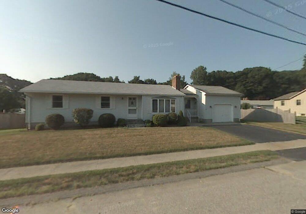
11 Jay St Auburn, MA 01501
Stoneville NeighborhoodEstimated Value: $438,000 - $552,000
3
Beds
3
Baths
1,345
Sq Ft
$367/Sq Ft
Est. Value
About This Home
This home is located at 11 Jay St, Auburn, MA 01501 and is currently estimated at $493,486, approximately $366 per square foot. 11 Jay St is a home located in Worcester County with nearby schools including Auburn Senior High School and Shrewsbury Montessori School - Auburn Campus.
Ownership History
Date
Name
Owned For
Owner Type
Purchase Details
Closed on
May 24, 2022
Sold by
Boulay Rahn O and Boulay Joan M
Bought by
Boulay Ft
Current Estimated Value
Purchase Details
Closed on
May 31, 2018
Sold by
Boulay Kelly and Kach Brendan
Bought by
Boulay Rahn O and Boulay Joan M
Purchase Details
Closed on
Jan 24, 2017
Sold by
Escolas Maureen D and Boulay Joan
Bought by
Boulay Kelly
Home Financials for this Owner
Home Financials are based on the most recent Mortgage that was taken out on this home.
Original Mortgage
$200,000
Interest Rate
4.13%
Mortgage Type
New Conventional
Purchase Details
Closed on
Oct 17, 2016
Sold by
Hardy Ft
Bought by
Escolas Maureen D and Boulay Joan M
Purchase Details
Closed on
Sep 4, 1991
Sold by
Hall David C
Bought by
Hardy Helen
Create a Home Valuation Report for This Property
The Home Valuation Report is an in-depth analysis detailing your home's value as well as a comparison with similar homes in the area
Home Values in the Area
Average Home Value in this Area
Purchase History
| Date | Buyer | Sale Price | Title Company |
|---|---|---|---|
| Boulay Ft | -- | None Available | |
| Boulay Rahn O | -- | -- | |
| Boulay Kelly | $250,000 | -- | |
| Escolas Maureen D | -- | -- | |
| Hardy Helen | $131,500 | -- |
Source: Public Records
Mortgage History
| Date | Status | Borrower | Loan Amount |
|---|---|---|---|
| Previous Owner | Boulay Kelly | $200,000 |
Source: Public Records
Tax History Compared to Growth
Tax History
| Year | Tax Paid | Tax Assessment Tax Assessment Total Assessment is a certain percentage of the fair market value that is determined by local assessors to be the total taxable value of land and additions on the property. | Land | Improvement |
|---|---|---|---|---|
| 2025 | $56 | $391,600 | $125,600 | $266,000 |
| 2024 | $5,685 | $380,800 | $119,400 | $261,400 |
| 2023 | $5,479 | $345,000 | $108,500 | $236,500 |
| 2022 | $5,115 | $304,100 | $108,500 | $195,600 |
| 2021 | $4,927 | $271,600 | $95,700 | $175,900 |
| 2020 | $4,883 | $271,600 | $95,700 | $175,900 |
| 2019 | $4,708 | $255,600 | $94,700 | $160,900 |
| 2018 | $4,462 | $242,000 | $88,600 | $153,400 |
| 2017 | $4,286 | $233,700 | $80,300 | $153,400 |
| 2016 | $4,097 | $226,500 | $84,500 | $142,000 |
| 2015 | $3,921 | $227,200 | $84,500 | $142,700 |
| 2014 | $3,702 | $214,100 | $80,400 | $133,700 |
Source: Public Records
Map
Nearby Homes