11 Johnson Ave Hudson, MA 01749
Estimated Value: $584,750 - $659,000
About This Home
This home is located at 11 Johnson Ave, Hudson, MA 01749 and is currently estimated at $618,438, approximately $565 per square foot. 11 Johnson Ave is a home located in Middlesex County with nearby schools including David J. Quinn Middle School, Hudson High School, and First Steps Children's Center.
Ownership History
We collect this data history from publicly available records. To have your information removed, we recommend requesting removal directly through your county’s website.
Purchase Details
Purchase Details
Home Values in the Area
Average Home Value in this Area
Purchase History
We collect this data history from publicly available records. To have your information removed, we recommend requesting removal directly through your county’s website.
| Date | Buyer | Sale Price | Title Company |
|---|---|---|---|
| -- | -- | ||
| -- | -- | ||
| -- | -- |
Mortgage History
We collect this data history from publicly available records. To have your information removed, we recommend requesting removal directly through your county’s website.
| Date | Status | Borrower | Loan Amount |
|---|---|---|---|
| Previous Owner | $229,500 | ||
| Previous Owner | $198,750 | ||
| Previous Owner | $30,000 |
Tax History
We collect this data history from publicly available records. To have your information removed, we recommend requesting removal directly through your county’s website.
| Year | Tax Paid | Tax Assessment Tax Assessment Total Assessment is a certain percentage of the fair market value that is determined by local assessors to be the total taxable value of land and additions on the property. | Land | Improvement |
|---|---|---|---|---|
| 2025 | $7,193 | $518,200 | $200,600 | $317,600 |
| 2024 | $7,192 | $513,700 | $182,400 | $331,300 |
| 2023 | $6,656 | $455,900 | $175,300 | $280,600 |
| 2022 | $6,143 | $387,300 | $159,300 | $228,000 |
| 2021 | $5,813 | $350,400 | $151,600 | $198,800 |
| 2020 | $5,770 | $347,400 | $148,600 | $198,800 |
| 2019 | $5,567 | $326,900 | $148,600 | $178,300 |
| 2018 | $5,862 | $295,200 | $141,800 | $153,400 |
| 2017 | $5,201 | $297,200 | $135,000 | $162,200 |
| 2016 | $4,810 | $278,200 | $135,000 | $143,200 |
| 2015 | $4,385 | $253,900 | $135,000 | $118,900 |
| 2014 | $4,055 | $232,800 | $118,500 | $114,300 |
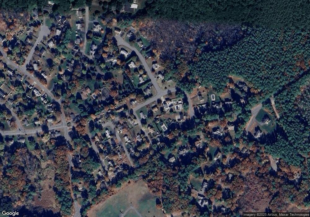
Map
- 6 Edith Rd
- 251 Cox St
- 55 Priest St
- 30 Vinal St
- 28 Vinal St
- 66 Woobly Rd
- 185 Randall Rd
- 200 Manning St Unit 23C
- 200 Manning St Unit 19C
- 200 Manning St Unit 9A
- 200 Manning St Unit 6B
- 15 Bennett St
- 425 Main St Unit 11B
- 1 Glendale Rd
- 2 Alan Rd
- 16 Alan Rd
- 52 High St
- 22 Temi Rd
- 38 Cherry St Unit B
- 250 Main St Unit 204
Ask me questions while you tour the home.