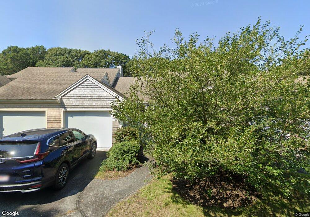
11 Kates Path Yarmouth Port, MA 02675
Yarmouth Port NeighborhoodEstimated Value: $529,982 - $612,000
2
Beds
2
Baths
1,292
Sq Ft
$446/Sq Ft
Est. Value
About This Home
This home is located at 11 Kates Path, Yarmouth Port, MA 02675 and is currently estimated at $575,746, approximately $445 per square foot. 11 Kates Path is a home located in Barnstable County with nearby schools including Dennis-Yarmouth Regional High School.
Ownership History
Date
Name
Owned For
Owner Type
Purchase Details
Closed on
Mar 24, 2017
Sold by
Dunhill William M
Bought by
Voytovich Robert and Voytovich Joanne
Current Estimated Value
Purchase Details
Closed on
Dec 2, 2015
Sold by
Barry Robert L
Bought by
Dunhill William M and Dunhill Barbara G
Purchase Details
Closed on
Jun 30, 2010
Sold by
Hill Laurie E
Bought by
Barry Robert L
Purchase Details
Closed on
Aug 1, 2008
Sold by
Hill Arthur G
Bought by
Hill Laurie E
Purchase Details
Closed on
Apr 17, 2002
Sold by
Langton Sharon Lynn and Peacock Winfield S
Bought by
Nancy Harting Tr
Purchase Details
Closed on
Apr 22, 1991
Sold by
The Green Co Inc
Bought by
Johnson L H and Johnson Beverly
Home Financials for this Owner
Home Financials are based on the most recent Mortgage that was taken out on this home.
Original Mortgage
$100,000
Interest Rate
9.4%
Mortgage Type
Purchase Money Mortgage
Create a Home Valuation Report for This Property
The Home Valuation Report is an in-depth analysis detailing your home's value as well as a comparison with similar homes in the area
Home Values in the Area
Average Home Value in this Area
Purchase History
| Date | Buyer | Sale Price | Title Company |
|---|---|---|---|
| Voytovich Robert | $349,500 | -- | |
| Dunhill William M | $315,000 | -- | |
| Barry Robert L | $317,500 | -- | |
| Hill Laurie E | -- | -- | |
| Nancy Harting Tr | $330,000 | -- | |
| Johnson L H | $165,000 | -- |
Source: Public Records
Mortgage History
| Date | Status | Borrower | Loan Amount |
|---|---|---|---|
| Previous Owner | Johnson L H | $100,000 |
Source: Public Records
Tax History Compared to Growth
Tax History
| Year | Tax Paid | Tax Assessment Tax Assessment Total Assessment is a certain percentage of the fair market value that is determined by local assessors to be the total taxable value of land and additions on the property. | Land | Improvement |
|---|---|---|---|---|
| 2025 | $3,272 | $462,100 | $0 | $462,100 |
| 2024 | $3,068 | $415,700 | $0 | $415,700 |
| 2023 | $2,759 | $340,200 | $0 | $340,200 |
| 2022 | $3,373 | $367,400 | $0 | $367,400 |
| 2021 | $3,279 | $343,000 | $0 | $343,000 |
| 2020 | $3,308 | $330,800 | $0 | $330,800 |
| 2019 | $3,100 | $306,900 | $0 | $306,900 |
| 2018 | $2,912 | $283,000 | $0 | $283,000 |
| 2017 | $2,715 | $271,000 | $0 | $271,000 |
| 2016 | $2,585 | $259,000 | $0 | $259,000 |
| 2015 | $2,565 | $255,500 | $0 | $255,500 |
Source: Public Records
Map
Nearby Homes
- 17 Kates Path Unit A
- 228 Kates Path
- 64 Kates Path
- 158 Kates Path
- 43 Canterbury Rd
- 19 John Halls Cartpath Village Unit E
- 19 John Hall Cartway Unit E
- 50 John Hall Cartway
- 50 John Hall Cartway Unit 50
- 42 John Hall Cartway Unit 42
- 28 Oak Glen
- 44 Stratford Ln
- 25 Oak Glen Village Unit 25
- 25 Oak Glen
- 17 Nottingham Dr
- 30 W Woods
- 30 W Woods Cir Unit 30
- 2 Pine Grove
- 800 Route 6a
- 800 Route 6a
- 21 Kates Path
- 19 Kates Path
- 17 Kates Path
- 15 Kates Path
- 13 Kates Path
- 19 Kate's Path Unit 19
- 13 Kate's Point Unit 13
- 11 Kate's Point Unit 11
- 21 Kates Path Unit 21-D
- 11 Kates Path Unit E
- 13 Kates Path Unit 13
- 15 Kates Path Unit B
- 79 Kates Path
- 79 Kates Path Unit B
- 17 Kate's Path
- 17 Kate's Path Unit 17
- 29 Kates Path
- 27 Kates Path
- 25 Kates Path
- 23 Kates Path