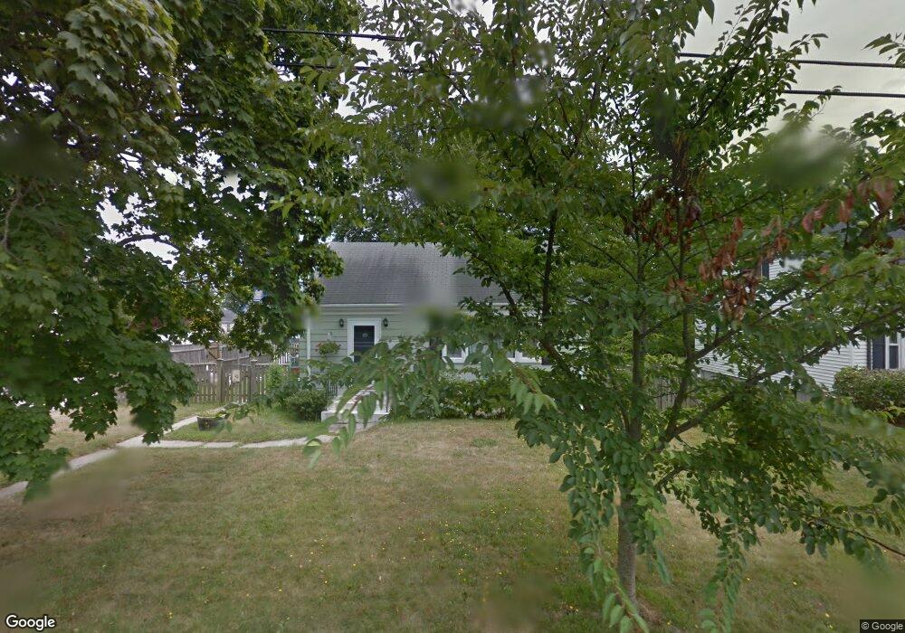
11 Kempsen St Newport, RI 02840
Eustis-Easton's Pond NeighborhoodEstimated Value: $641,503 - $861,000
2
Beds
1
Bath
1,064
Sq Ft
$715/Sq Ft
Est. Value
About This Home
This home is located at 11 Kempsen St, Newport, RI 02840 and is currently estimated at $760,876, approximately $715 per square foot. 11 Kempsen St is a home located in Newport County with nearby schools including Rogers High School, St Michael's Country Day School, and St George's School.
Ownership History
Date
Name
Owned For
Owner Type
Purchase Details
Closed on
Dec 31, 2012
Sold by
Arambarri Txomin and Bellagamba Joanne O
Bought by
Bellagamba Joanne O
Current Estimated Value
Purchase Details
Closed on
Aug 5, 1997
Sold by
Springett Francis C
Bought by
Arambarri Txomin
Home Financials for this Owner
Home Financials are based on the most recent Mortgage that was taken out on this home.
Original Mortgage
$112,679
Interest Rate
7.55%
Mortgage Type
Purchase Money Mortgage
Create a Home Valuation Report for This Property
The Home Valuation Report is an in-depth analysis detailing your home's value as well as a comparison with similar homes in the area
Home Values in the Area
Average Home Value in this Area
Purchase History
| Date | Buyer | Sale Price | Title Company |
|---|---|---|---|
| Bellagamba Joanne O | -- | -- | |
| Arambarri Txomin | $113,000 | -- |
Source: Public Records
Mortgage History
| Date | Status | Borrower | Loan Amount |
|---|---|---|---|
| Previous Owner | Arambarri Txomin | $231,000 | |
| Previous Owner | Arambarri Txomin | $50,000 | |
| Previous Owner | Arambarri Txomin | $140,000 | |
| Previous Owner | Arambarri Txomin | $112,679 |
Source: Public Records
Tax History Compared to Growth
Tax History
| Year | Tax Paid | Tax Assessment Tax Assessment Total Assessment is a certain percentage of the fair market value that is determined by local assessors to be the total taxable value of land and additions on the property. | Land | Improvement |
|---|---|---|---|---|
| 2025 | $3,978 | $554,100 | $359,300 | $194,800 |
| 2024 | $3,862 | $554,100 | $359,300 | $194,800 |
| 2023 | $3,293 | $332,000 | $211,400 | $120,600 |
| 2022 | $3,191 | $332,000 | $211,400 | $120,600 |
| 2021 | $3,098 | $332,000 | $211,400 | $120,600 |
| 2020 | $3,398 | $330,500 | $184,600 | $145,900 |
| 2019 | $3,398 | $330,500 | $184,600 | $145,900 |
| 2018 | $3,302 | $330,500 | $184,600 | $145,900 |
| 2017 | $2,965 | $264,500 | $142,000 | $122,500 |
| 2016 | $2,891 | $264,500 | $142,000 | $122,500 |
| 2015 | $2,822 | $264,500 | $142,000 | $122,500 |
| 2014 | $2,933 | $243,200 | $108,600 | $134,600 |
Source: Public Records
Map
Nearby Homes
- 36 Kay Blvd
- 7 Caswell Ave
- 78 Ellery Rd
- 198 Gibbs Ave
- 82 Ellery Rd
- 129 Bliss Mine Rd
- 128 Eustis Ave
- 5 Gardiner St
- 39 Powel Ave Unit CH
- 39 Powel Ave Unit 2
- 39 Powel Ave Unit 1
- 78 Rhode Island Ave Unit 6
- 78 Rhode Island Ave Unit 8
- 8 Champlin St
- 17 Lincoln St
- 55 Hunter Ave
- 1 Arnold Ave
- 2 Newport Ave Unit B2
- 60 Ayrault St
- 17 Everett St