Estimated Value: $1,455,000 - $2,582,119
4
Beds
2
Baths
1,612
Sq Ft
$1,252/Sq Ft
Est. Value
About This Home
This home is located at 11 Kimberley Ln, Truro, MA 2666 and is currently estimated at $2,018,560, approximately $1,252 per square foot. 11 Kimberley Ln is a home located in Barnstable County with nearby schools including Truro Central School.
Ownership History
Date
Name
Owned For
Owner Type
Purchase Details
Closed on
Jan 19, 1996
Sold by
Mortimer-Maxfield Joan
Bought by
Reznikoff Tracy E and Reznikoff John M
Current Estimated Value
Home Financials for this Owner
Home Financials are based on the most recent Mortgage that was taken out on this home.
Original Mortgage
$184,000
Interest Rate
7.16%
Mortgage Type
Purchase Money Mortgage
Purchase Details
Closed on
Mar 31, 1995
Sold by
Arias Mary Mortimer
Bought by
Reid Jasper
Create a Home Valuation Report for This Property
The Home Valuation Report is an in-depth analysis detailing your home's value as well as a comparison with similar homes in the area
Home Values in the Area
Average Home Value in this Area
Purchase History
| Date | Buyer | Sale Price | Title Company |
|---|---|---|---|
| Reznikoff Tracy E | $230,000 | -- | |
| Reid Jasper | $62,500 | -- |
Source: Public Records
Mortgage History
| Date | Status | Borrower | Loan Amount |
|---|---|---|---|
| Open | Reid Jasper | $150,000 | |
| Closed | Reid Jasper | $184,000 |
Source: Public Records
Tax History
| Year | Tax Paid | Tax Assessment Tax Assessment Total Assessment is a certain percentage of the fair market value that is determined by local assessors to be the total taxable value of land and additions on the property. | Land | Improvement |
|---|---|---|---|---|
| 2025 | $15,516 | $2,510,700 | $1,861,400 | $649,300 |
| 2024 | $13,932 | $2,325,900 | $1,727,600 | $598,300 |
| 2023 | $13,067 | $1,998,000 | $1,502,100 | $495,900 |
| 2022 | $12,878 | $1,666,000 | $1,294,800 | $371,200 |
| 2021 | $7,286 | $1,614,600 | $1,294,800 | $319,800 |
| 2020 | $11,576 | $1,579,300 | $1,281,900 | $297,400 |
| 2019 | $7,387 | $1,519,700 | $1,281,900 | $237,800 |
| 2018 | $3,515 | $1,500,900 | $1,281,900 | $219,000 |
| 2017 | $11,585 | $1,659,700 | $1,452,800 | $206,900 |
| 2016 | $11,114 | $1,641,600 | $1,438,600 | $203,000 |
| 2015 | $10,741 | $1,620,000 | $1,424,500 | $195,500 |
Source: Public Records
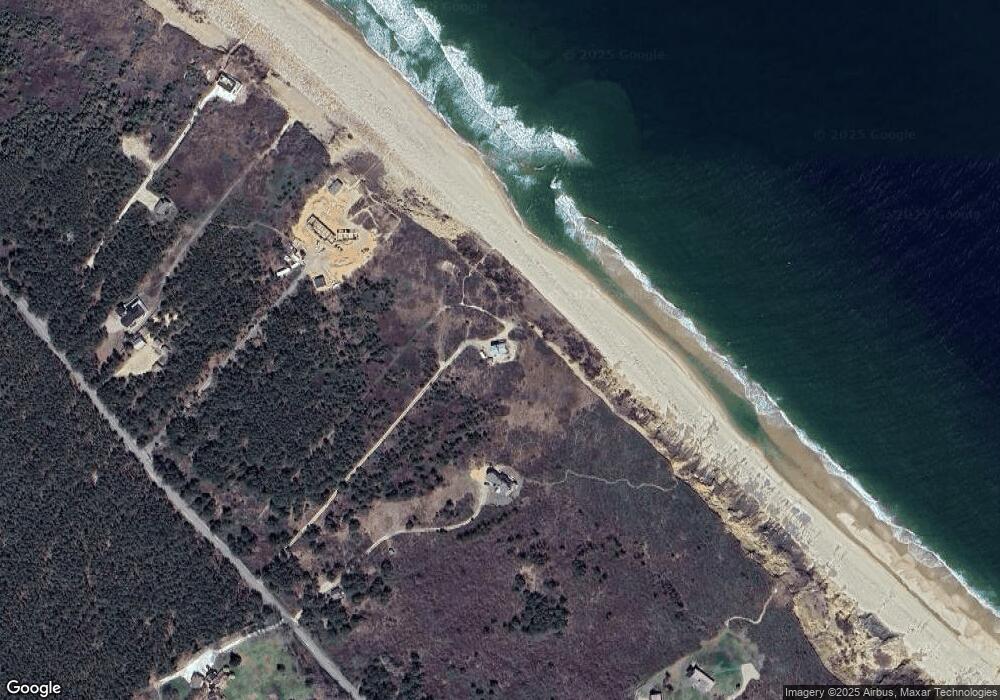
Map
Nearby Homes
- 53 Highland Rd
- 4 Highland Rd Unit C
- 4 S Highland Rd Unit C
- 32 Twine Field Rd
- 2 Pine Ridge End
- 332 U S 6
- 12 Parker Dr
- 12 Parker Dr
- 128 Shore Rd
- 7 Fishermans Rd
- 132 Shore Rd Unit 7
- 3 Bayberry Rd
- 7 Great Hollow Rd Unit 50
- 7 Great Hollow Rd Unit 50
- 168 Shore Rd Unit 9
- 23 Crestview Cir
- 169 Shore Rd Unit 15
- 27 Fishermans Rd
- 4 Resolution Rd
- 2 Resolution Rd
- 7 Coast Guard Rd
- 17 Coast Guard Rd
- 21 Coast Guard Rd
- 7 Coast Guard Terrace
- 11 Coast Guard Terrace
- 11 Coast Guard
- 11 Coast Guard Te
- 12 Ocean Bluff Ln
- 6 Ocean Bluff Ln
- 6 & 12 Ocean Bluff Ln
- 8 Coast Guard Rd
- 4 Coast Guard Terrace
- 90 S Highland Rd
- 68 Highland Rd
- 86 S Highland Rd
- 4 Coast Guard Ln
- 64 Highland Rd
- 32 Coast Guard Rd
- 3 Coast Guard Ln
- 63 Highland Rd
Your Personal Tour Guide
Ask me questions while you tour the home.