11 Knode Rd Sheridan, WY 82801
Estimated Value: $543,317 - $680,000
2
Beds
1
Bath
1,138
Sq Ft
$542/Sq Ft
Est. Value
About This Home
This home is located at 11 Knode Rd, Sheridan, WY 82801 and is currently estimated at $616,439, approximately $541 per square foot. 11 Knode Rd is a home.
Ownership History
Date
Name
Owned For
Owner Type
Purchase Details
Closed on
Aug 20, 2024
Sold by
Bernice I Kobielusz Trust and Kobielusz Rebecca Lynn
Bought by
Kobielusz Jody and Kobielusz Rebecca Lynn
Current Estimated Value
Purchase Details
Closed on
May 17, 2005
Sold by
Erickson James R
Bought by
Forness Bruce C and Loretan Ann C
Home Financials for this Owner
Home Financials are based on the most recent Mortgage that was taken out on this home.
Original Mortgage
$164,000
Interest Rate
5.83%
Mortgage Type
New Conventional
Create a Home Valuation Report for This Property
The Home Valuation Report is an in-depth analysis detailing your home's value as well as a comparison with similar homes in the area
Home Values in the Area
Average Home Value in this Area
Purchase History
| Date | Buyer | Sale Price | Title Company |
|---|---|---|---|
| Kobielusz Jody | -- | None Listed On Document | |
| Forness Bruce C | -- | None Available |
Source: Public Records
Mortgage History
| Date | Status | Borrower | Loan Amount |
|---|---|---|---|
| Previous Owner | Forness Bruce C | $164,000 |
Source: Public Records
Tax History Compared to Growth
Tax History
| Year | Tax Paid | Tax Assessment Tax Assessment Total Assessment is a certain percentage of the fair market value that is determined by local assessors to be the total taxable value of land and additions on the property. | Land | Improvement |
|---|---|---|---|---|
| 2025 | $2,650 | $20,044 | $12,833 | $7,211 |
| 2024 | $2,650 | $39,258 | $25,666 | $13,592 |
| 2023 | $2,498 | $37,003 | $23,884 | $13,119 |
| 2022 | $2,134 | $31,620 | $19,606 | $12,014 |
| 2021 | $1,781 | $26,379 | $16,576 | $9,803 |
| 2020 | $1,550 | $22,962 | $13,368 | $9,594 |
| 2019 | $1,498 | $22,193 | $13,368 | $8,825 |
| 2018 | $1,393 | $20,641 | $12,477 | $8,164 |
| 2017 | $1,391 | $20,158 | $12,120 | $8,038 |
| 2015 | $1,298 | $18,644 | $10,631 | $8,013 |
| 2014 | $1,313 | $18,862 | $10,631 | $8,231 |
| 2013 | -- | $18,448 | $10,631 | $7,817 |
Source: Public Records
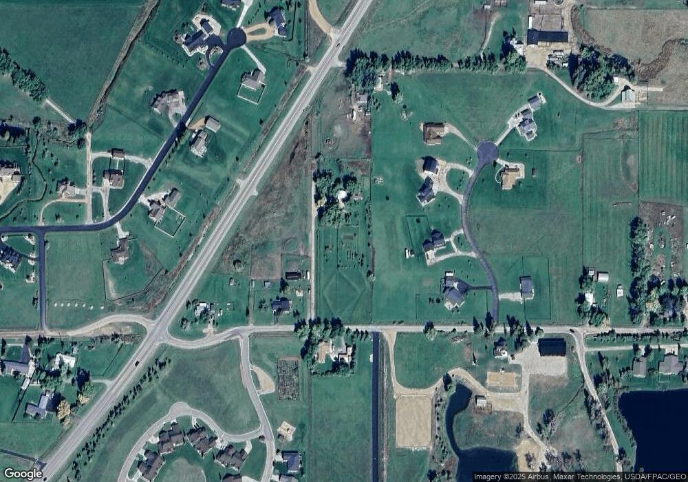
Map
Nearby Homes
- 91 Wyoming 335
- 8 Buckskin Dr
- 96 Canvasback Rd
- 3 Mallard Rd
- 4 Mallard Rd
- 19 Spring Creek Ln
- 21 Wishbone Way
- 7 Mallard Rd
- 40 Mallard Rd
- Tbd Wagon Wheel Court Lot F11
- Tbd Wagon Wheel Ct Lot F10 & F11
- TBD Wagon Wheel Ct Unit F10
- TBD Wagon Wheel Ct Unit F11
- TBD Wagon Wheel Ct Unit Lot 1
- TBD Wagon Wheel Ct Unit Lot 2
- 1 Deer Haven Dr
- 3 Thunderbird Dr
- 21 Eagle Ridge Dr
- 5 Oakmont Ct
- 20 Roberts Dr
- 3 Goose Meadows Rd
- 99 State Highway 335
- 9 Knode Rd
- 1 Goose Meadows Rd
- 1136 Cross Creek Ct
- 12 Knode Rd
- 6 Goose Meadows Rd
- TBD Goose Meadows Rd
- 1134 Cross Creek Ct
- 3 Knode Rd
- 1140 Cross Creek Ct
- 2 Goose Meadows Rd
- 1135 Cross Creek Ct
- 8 Goose Meadows Rd
- 1132 Cross Creek Ct
- 1133 Cross Creek Ct
- 1137 Cross Creek Ct
- 1139 Cross Creek Ct
- 31 Landon Ln
- 97 State Highway 335