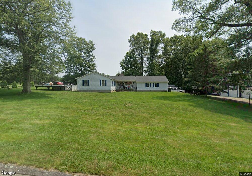
11 Lantern Dr Seymour, CT 06483
Estimated Value: $452,112 - $503,000
3
Beds
2
Baths
1,320
Sq Ft
$366/Sq Ft
Est. Value
About This Home
This home is located at 11 Lantern Dr, Seymour, CT 06483 and is currently estimated at $483,528, approximately $366 per square foot. 11 Lantern Dr is a home located in New Haven County with nearby schools including Bungay Elementary School, Seymour Middle School, and Seymour High School.
Ownership History
Date
Name
Owned For
Owner Type
Purchase Details
Closed on
May 18, 2018
Sold by
Jarvis William
Bought by
Jarvis William
Current Estimated Value
Purchase Details
Closed on
Jul 20, 2015
Sold by
Gasparri Eugene
Bought by
Gasparri Keri
Create a Home Valuation Report for This Property
The Home Valuation Report is an in-depth analysis detailing your home's value as well as a comparison with similar homes in the area
Home Values in the Area
Average Home Value in this Area
Purchase History
| Date | Buyer | Sale Price | Title Company |
|---|---|---|---|
| Jarvis William | -- | -- | |
| Gasparri Keri | -- | -- | |
| Jarvis William | -- | -- |
Source: Public Records
Mortgage History
| Date | Status | Borrower | Loan Amount |
|---|---|---|---|
| Previous Owner | Jarvis William | $180,600 | |
| Previous Owner | Jarvis William | $100,000 |
Source: Public Records
Tax History
| Year | Tax Paid | Tax Assessment Tax Assessment Total Assessment is a certain percentage of the fair market value that is determined by local assessors to be the total taxable value of land and additions on the property. | Land | Improvement |
|---|---|---|---|---|
| 2025 | $7,870 | $283,920 | $63,980 | $219,940 |
| 2024 | $6,815 | $185,000 | $66,010 | $118,990 |
| 2023 | $6,538 | $181,720 | $66,010 | $115,710 |
| 2022 | $6,467 | $181,720 | $66,010 | $115,710 |
| 2021 | $6,308 | $181,720 | $66,010 | $115,710 |
| 2020 | $6,504 | $180,670 | $77,490 | $103,180 |
| 2019 | $6,504 | $180,670 | $77,490 | $103,180 |
| 2018 | $6,504 | $180,670 | $77,490 | $103,180 |
| 2017 | $6,504 | $180,670 | $77,490 | $103,180 |
| 2016 | $6,504 | $180,670 | $77,490 | $103,180 |
| 2015 | $6,695 | $193,550 | $81,410 | $112,140 |
| 2014 | $6,588 | $193,550 | $81,410 | $112,140 |
Source: Public Records
Map
Nearby Homes
- 154 S Benham Rd
- 12 Great Meadow Rd
- 56 Great Hill Rd
- 3 Roosevelt Dr
- 109 Davis Rd
- 25 Elaine Dr
- 132 Botsford Rd
- 810 Roosevelt Dr
- 181 Great Hill Rd
- 106 Botsford Rd
- 22 Brookfield Rd
- 30 Great Hill Rd
- 6 Chaucer Dr
- 208 Bungay Rd
- 207 Westfield Ave
- 10 Clarkson St Unit 12
- 185 Wakelee Ave
- 24 Byron Ave
- 41 Longfellow Rd
- 18 Forest St
Your Personal Tour Guide
Ask me questions while you tour the home.