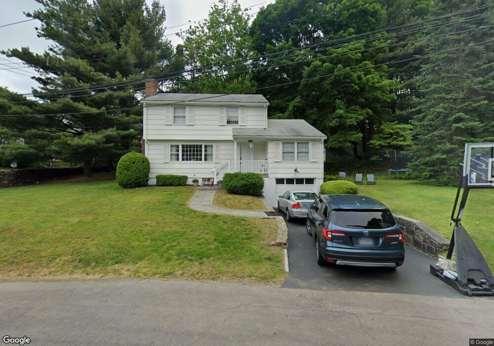
11 Larbert Rd Southport, CT 06890
Southport NeighborhoodEstimated Value: $1,011,000 - $1,559,000
3
Beds
2
Baths
1,800
Sq Ft
$696/Sq Ft
Est. Value
About This Home
This home is located at 11 Larbert Rd, Southport, CT 06890 and is currently estimated at $1,252,094, approximately $695 per square foot. 11 Larbert Rd is a home located in Fairfield County with nearby schools including Mill Hill School, Roger Ludlowe Middle School, and Fairfield Ludlowe High School.
Ownership History
Date
Name
Owned For
Owner Type
Purchase Details
Closed on
Sep 5, 2008
Sold by
Est Allard Alba R and Angelini Angela A
Bought by
Ramirez James A and Ramirez Jennifer S
Current Estimated Value
Home Financials for this Owner
Home Financials are based on the most recent Mortgage that was taken out on this home.
Original Mortgage
$540,000
Interest Rate
6.69%
Create a Home Valuation Report for This Property
The Home Valuation Report is an in-depth analysis detailing your home's value as well as a comparison with similar homes in the area
Home Values in the Area
Average Home Value in this Area
Purchase History
| Date | Buyer | Sale Price | Title Company |
|---|---|---|---|
| Ramirez James A | $675,000 | -- | |
| Ramirez James A | $675,000 | -- |
Source: Public Records
Mortgage History
| Date | Status | Borrower | Loan Amount |
|---|---|---|---|
| Open | Ramirez James A | $546,000 | |
| Closed | Ramirez James A | $548,000 | |
| Closed | Ramirez James A | $540,000 |
Source: Public Records
Tax History Compared to Growth
Tax History
| Year | Tax Paid | Tax Assessment Tax Assessment Total Assessment is a certain percentage of the fair market value that is determined by local assessors to be the total taxable value of land and additions on the property. | Land | Improvement |
|---|---|---|---|---|
| 2025 | $13,635 | $480,270 | $359,310 | $120,960 |
| 2024 | $13,400 | $480,270 | $359,310 | $120,960 |
| 2023 | $13,212 | $480,270 | $359,310 | $120,960 |
| 2022 | $13,083 | $480,270 | $359,310 | $120,960 |
| 2021 | $12,958 | $480,270 | $359,310 | $120,960 |
| 2020 | $13,271 | $495,390 | $364,420 | $130,970 |
| 2019 | $13,271 | $495,390 | $364,420 | $130,970 |
| 2018 | $13,058 | $495,390 | $364,420 | $130,970 |
| 2017 | $12,791 | $495,390 | $364,420 | $130,970 |
| 2016 | $12,608 | $495,390 | $364,420 | $130,970 |
| 2015 | $12,564 | $506,800 | $409,990 | $96,810 |
| 2014 | $12,366 | $506,800 | $409,990 | $96,810 |
Source: Public Records
Map
Nearby Homes
- 28 Mill Hill Rd Unit 28
- 2 Elmwood Dr Unit 2
- 153 Pease Ave
- 53 Hilltop Dr
- 100 Overhill Rd
- 88 Overhill Rd
- 844 Mill Hill Terrace
- 85 Patrick Dr
- 476 Mill Hill Terrace
- 209 S Pine Creek Rd
- 944 Pequot Ave
- 260 Willow St
- 57 Beaumont Place
- 647 Bronson Rd
- 775 Sasco Hill Rd
- 828 Sasco Hill Rd
- 305 S Gate Ln
- 21 Beaumont St
- 43 Helen St
- 154 Gorham Rd
- 125 Pequot Ave Unit 1st Rear
- 125 Pequot Ave
- 125 Pequot Ave Unit 1F
- 125 Pequot Ave Unit 2Rear
- 125 Pequot Ave Unit 2 Front
- 23 Larbert Rd
- 22 Larbert Rd
- 156 Pequot Ave
- 170 Pequot Ave
- 31 Larbert Rd
- 142 Pequot Ave
- 122 Pequot Ave
- 56 Larbert Rd
- 49 Larbert Rd
- 214 Taintor Dr
- 276 Taintor Dr
- 248 Taintor Dr
- 200 Taintor Dr
- 92 Pequot Ave
- 226 Taintor Dr