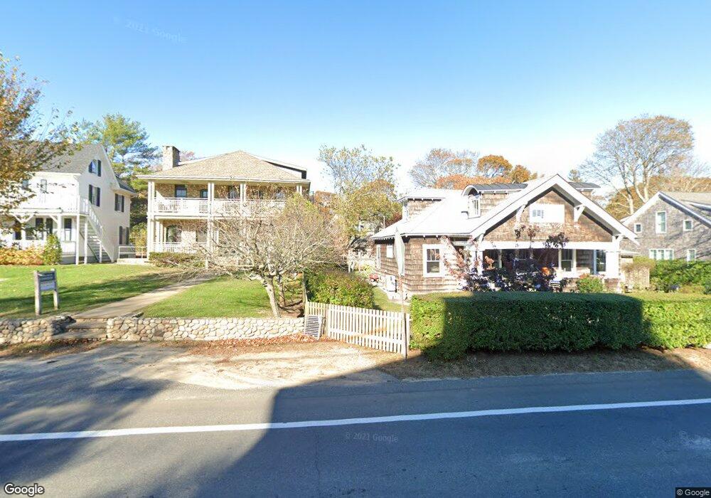
11 Laurel Ave Oak Bluffs, MA 02557
Oak Bluffs NeighborhoodEstimated Value: $1,469,000 - $1,630,460
4
Beds
3
Baths
1,812
Sq Ft
$850/Sq Ft
Est. Value
About This Home
This home is located at 11 Laurel Ave, Oak Bluffs, MA 02557 and is currently estimated at $1,539,615, approximately $849 per square foot. 11 Laurel Ave is a home with nearby schools including Oak Bluffs Elementary School, Martha's Vineyard Regional High School, and Vineyard Montessori School.
Ownership History
Date
Name
Owned For
Owner Type
Purchase Details
Closed on
Apr 22, 2005
Sold by
Gear Curtis E and Gear Ida M
Bought by
Stockman Gary L and Swift Jennifer A
Current Estimated Value
Home Financials for this Owner
Home Financials are based on the most recent Mortgage that was taken out on this home.
Original Mortgage
$600,000
Interest Rate
5.87%
Mortgage Type
Purchase Money Mortgage
Purchase Details
Closed on
Jan 22, 2002
Sold by
Alphagammapidelta Rt
Bought by
Gear Curtis E and Gear Ida M
Create a Home Valuation Report for This Property
The Home Valuation Report is an in-depth analysis detailing your home's value as well as a comparison with similar homes in the area
Home Values in the Area
Average Home Value in this Area
Purchase History
We collect this data history from publicly available records. To have your information removed, we recommend requesting removal directly through your county’s website.
| Date | Buyer | Sale Price | Title Company |
|---|---|---|---|
| Stockman Gary L | $750,000 | -- | |
| Gear Curtis E | $463,000 | -- |
Source: Public Records
Mortgage History
We collect this data history from publicly available records. To have your information removed, we recommend requesting removal directly through your county’s website.
| Date | Status | Borrower | Loan Amount |
|---|---|---|---|
| Open | Gear Curtis E | $500,000 | |
| Closed | Stockman Gary L | $600,000 | |
| Previous Owner | Gear Curtis E | $560,000 | |
| Previous Owner | Gear Curtis E | $479,000 |
Source: Public Records
Tax History
| Year | Tax Paid | Tax Assessment Tax Assessment Total Assessment is a certain percentage of the fair market value that is determined by local assessors to be the total taxable value of land and additions on the property. | Land | Improvement |
|---|---|---|---|---|
| 2025 | $5,887 | $1,165,800 | $565,500 | $600,300 |
| 2024 | $5,976 | $1,142,700 | $513,900 | $628,800 |
| 2023 | $5,814 | $1,101,100 | $457,700 | $643,400 |
| 2022 | $5,549 | $817,200 | $329,100 | $488,100 |
| 2021 | $5,190 | $704,200 | $302,300 | $401,900 |
| 2020 | $4,528 | $608,600 | $287,900 | $320,700 |
| 2019 | $4,559 | $592,800 | $277,700 | $315,100 |
| 2018 | $4,359 | $556,700 | $240,800 | $315,900 |
| 2017 | $4,176 | $512,400 | $228,300 | $284,100 |
| 2016 | $3,862 | $476,200 | $235,300 | $240,900 |
| 2015 | $3,663 | $460,200 | $235,300 | $224,900 |
| 2014 | $3,556 | $455,300 | $225,900 | $229,400 |
Source: Public Records
Map
Nearby Homes
- 7 Highland Ave
- 17 John Wesley Ave
- 10 Siloam Ave
- 24 Towanticut Ave Unit 188
- 23 Circuit Avenue Extension
- 2 Lincoln Ave
- 1 Pease Ave
- 56 Garvin St
- 33 Ocean Ave
- 37 Circuit Ave Unit 5
- 37 Circuit Ave Unit 4
- 46 Kennebec Ave
- 33 Vineyard Ave
- 61 Ocean Ave Unit 4
- 6 Brewster Ave
- 150 E Chop Dr
- 10 Winthrop Ave
- 16 Atlantic Ave
- 47 Winemack St
- 112 Dukes County Ave Unit 209
Your Personal Tour Guide
Ask me questions while you tour the home.