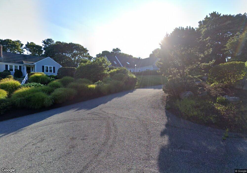
11 Lilac Ln Yarmouth Port, MA 02675
Yarmouth Port NeighborhoodEstimated Value: $776,000 - $942,000
3
Beds
3
Baths
1,801
Sq Ft
$484/Sq Ft
Est. Value
About This Home
This home is located at 11 Lilac Ln, Yarmouth Port, MA 02675 and is currently estimated at $871,871, approximately $484 per square foot. 11 Lilac Ln is a home located in Barnstable County with nearby schools including Dennis-Yarmouth Regional High School.
Ownership History
Date
Name
Owned For
Owner Type
Purchase Details
Closed on
May 27, 2022
Sold by
Hoben James P and Roy Michele T
Bought by
Hoben James P
Current Estimated Value
Home Financials for this Owner
Home Financials are based on the most recent Mortgage that was taken out on this home.
Original Mortgage
$400,000
Outstanding Balance
$371,699
Interest Rate
2.95%
Mortgage Type
Adjustable Rate Mortgage/ARM
Estimated Equity
$500,172
Purchase Details
Closed on
Feb 17, 2004
Sold by
Tucci Jeffrey M and Tucci Kathy A
Bought by
Hoben James P and Hoben Michele T
Purchase Details
Closed on
May 15, 2001
Sold by
Nichols Arthur G and Nichols Kathleen E
Bought by
Tucci Jeffrey M and Tucci Kathy A
Create a Home Valuation Report for This Property
The Home Valuation Report is an in-depth analysis detailing your home's value as well as a comparison with similar homes in the area
Home Values in the Area
Average Home Value in this Area
Purchase History
| Date | Buyer | Sale Price | Title Company |
|---|---|---|---|
| Hoben James P | -- | None Available | |
| Hoben James P | $490,000 | -- | |
| Tucci Jeffrey M | $355,000 | -- | |
| Hoben James P | $490,000 | -- | |
| Tucci Jeffrey M | $355,000 | -- |
Source: Public Records
Mortgage History
| Date | Status | Borrower | Loan Amount |
|---|---|---|---|
| Open | Hoben James P | $400,000 | |
| Previous Owner | Tucci Jeffrey M | $117,700 |
Source: Public Records
Tax History Compared to Growth
Tax History
| Year | Tax Paid | Tax Assessment Tax Assessment Total Assessment is a certain percentage of the fair market value that is determined by local assessors to be the total taxable value of land and additions on the property. | Land | Improvement |
|---|---|---|---|---|
| 2025 | $5,755 | $812,900 | $238,500 | $574,400 |
| 2024 | $5,337 | $723,200 | $207,400 | $515,800 |
| 2023 | $5,475 | $675,100 | $175,100 | $500,000 |
| 2022 | $4,916 | $535,500 | $156,600 | $378,900 |
| 2021 | $4,818 | $504,000 | $156,600 | $347,400 |
| 2020 | $4,694 | $469,400 | $154,100 | $315,300 |
| 2019 | $4,363 | $432,000 | $154,100 | $277,900 |
| 2018 | $4,353 | $423,000 | $145,100 | $277,900 |
| 2017 | $4,132 | $412,400 | $145,100 | $267,300 |
| 2016 | $4,116 | $412,400 | $145,100 | $267,300 |
| 2015 | $3,972 | $395,600 | $145,100 | $250,500 |
Source: Public Records
Map
Nearby Homes
- 17 Nottingham Dr
- 64 Kates Path
- 19 John Halls Cartpath Village Unit E
- 19 John Hall Cartway Unit E
- 228 Kates Path
- 17 Kates Path Unit A
- 20 Trophy Ln
- 59 Route 6a Unit 29-4
- 158 Kates Path
- 6 Nimble Hill Dr
- 4208 Heatherwood
- 2124 Heatherwood
- 268 Main St
- 24 Greenland Cir
- 800 Route 6a
- 800 Route 6a
- 793 Route 6a
- 9 Forest Gate
- 28 Oak Glen
- 30 W Woods