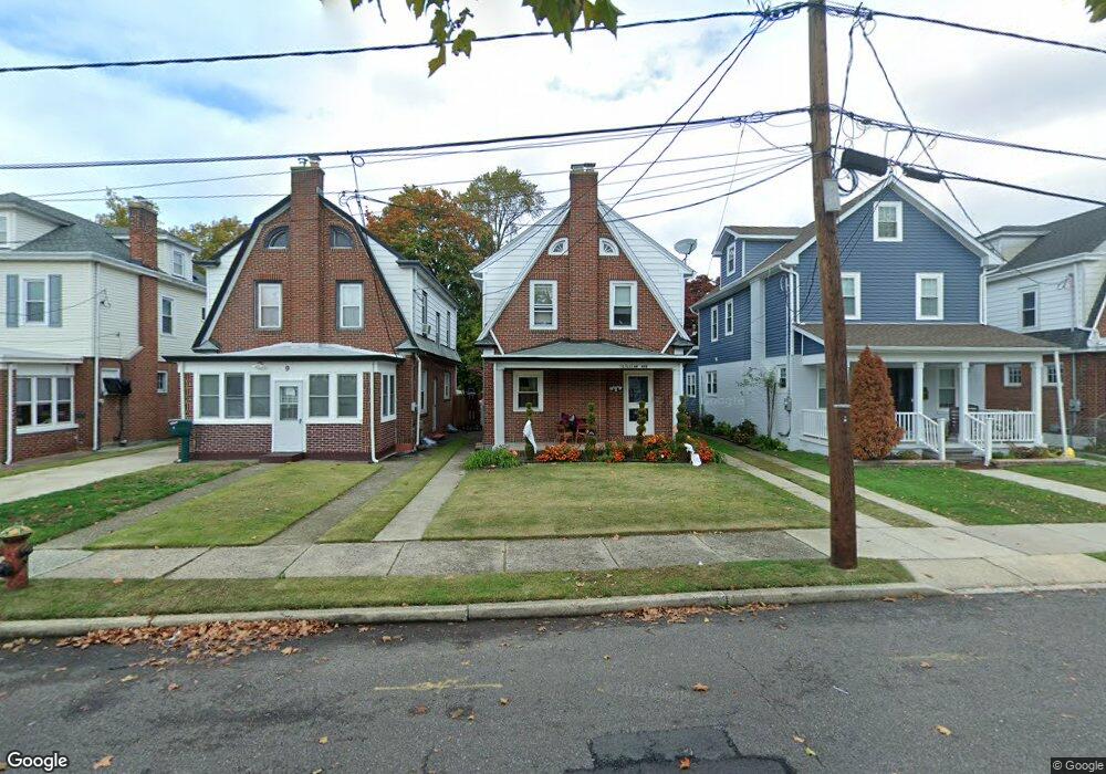
11 Lillian Ave Trenton, NJ 08610
Estimated Value: $327,000 - $394,000
--
Bed
--
Bath
1,808
Sq Ft
$205/Sq Ft
Est. Value
About This Home
This home is located at 11 Lillian Ave, Trenton, NJ 08610 and is currently estimated at $370,299, approximately $204 per square foot. 11 Lillian Ave is a home located in Mercer County with nearby schools including Lalor Elementary School, Albert E. Grice Middle School, and Hamilton West-Watson High School.
Ownership History
Date
Name
Owned For
Owner Type
Purchase Details
Closed on
Dec 13, 2002
Sold by
Maes Joseph
Bought by
Orozco Serafin and Orozco Maria
Current Estimated Value
Home Financials for this Owner
Home Financials are based on the most recent Mortgage that was taken out on this home.
Original Mortgage
$108,000
Outstanding Balance
$46,124
Interest Rate
6.16%
Mortgage Type
Purchase Money Mortgage
Estimated Equity
$324,175
Create a Home Valuation Report for This Property
The Home Valuation Report is an in-depth analysis detailing your home's value as well as a comparison with similar homes in the area
Home Values in the Area
Average Home Value in this Area
Purchase History
| Date | Buyer | Sale Price | Title Company |
|---|---|---|---|
| Orozco Serafin | $135,000 | -- |
Source: Public Records
Mortgage History
| Date | Status | Borrower | Loan Amount |
|---|---|---|---|
| Open | Orozco Serafin | $108,000 |
Source: Public Records
Tax History Compared to Growth
Tax History
| Year | Tax Paid | Tax Assessment Tax Assessment Total Assessment is a certain percentage of the fair market value that is determined by local assessors to be the total taxable value of land and additions on the property. | Land | Improvement |
|---|---|---|---|---|
| 2025 | $6,664 | $189,100 | $52,700 | $136,400 |
| 2024 | $6,246 | $189,100 | $52,700 | $136,400 |
| 2023 | $6,246 | $189,100 | $52,700 | $136,400 |
| 2022 | $6,148 | $189,100 | $52,700 | $136,400 |
| 2021 | $7,626 | $189,100 | $52,700 | $136,400 |
| 2020 | $6,946 | $189,100 | $52,700 | $136,400 |
| 2019 | $6,741 | $189,100 | $52,700 | $136,400 |
| 2018 | $6,690 | $189,100 | $52,700 | $136,400 |
| 2017 | $6,339 | $189,100 | $52,700 | $136,400 |
| 2016 | $5,113 | $189,100 | $52,700 | $136,400 |
| 2015 | $5,888 | $112,600 | $28,900 | $83,700 |
| 2014 | $5,766 | $112,600 | $28,900 | $83,700 |
Source: Public Records
Map
Nearby Homes
- 2325 S Broad St
- 949 Schiller Ave
- 164 Lillian Ave
- 316 W Park Ave
- 158 Churchill Ave
- 28 Thropp Ave
- 204 Thropp Ave
- 234 Thropp Ave
- 604 Schiller Ave
- 156 Maddock Ave
- 1961 S Broad St
- 27 Westcott Ave
- 429 Wilfred Ave
- 256 Field Ave
- 408 Berg Ave
- 624 Hunt Ave
- 1857 S Broad St
- 323 Wilfred Ave
- 1856 S Broad St
- 238 Grand Ave
- 13 Lillian Ave
- 9 Lillian Ave
- 17 Lillian Ave
- 7 Lillian Ave
- 19 Lillian Ave
- 20 Samdin Blvd
- 28 Samdin Blvd
- 23 Lillian Ave
- 34 Samdin Blvd
- 29 Lillian Ave
- 40 Samdin Blvd
- 33 Lillian Ave
- 21 Samdin Blvd
- 30 Lillian Ave
- 2340 S Broad St
- 25 Samdin Blvd
- 44 Samdin Blvd
- 34 Lillian Ave
- 39 Samdin Blvd
- 2381 S Broad St Unit 1