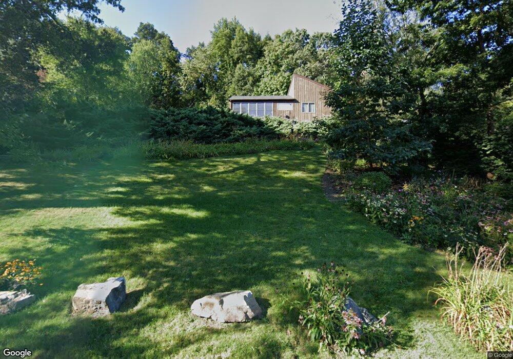
11 Lillinonah Dr Brookfield, CT 06804
Estimated Value: $595,736 - $782,000
3
Beds
3
Baths
1,937
Sq Ft
$357/Sq Ft
Est. Value
About This Home
This home is located at 11 Lillinonah Dr, Brookfield, CT 06804 and is currently estimated at $691,434, approximately $356 per square foot. 11 Lillinonah Dr is a home located in Fairfield County with nearby schools including Center Elementary School, Whisconier Middle School, and Brookfield High School.
Ownership History
Date
Name
Owned For
Owner Type
Purchase Details
Closed on
Feb 29, 1988
Sold by
Nejame Bros Inc
Bought by
Milhaven Alan
Current Estimated Value
Home Financials for this Owner
Home Financials are based on the most recent Mortgage that was taken out on this home.
Original Mortgage
$205,000
Interest Rate
10.49%
Mortgage Type
Purchase Money Mortgage
Create a Home Valuation Report for This Property
The Home Valuation Report is an in-depth analysis detailing your home's value as well as a comparison with similar homes in the area
Home Values in the Area
Average Home Value in this Area
Purchase History
| Date | Buyer | Sale Price | Title Company |
|---|---|---|---|
| Milhaven Alan | $270,000 | -- |
Source: Public Records
Mortgage History
| Date | Status | Borrower | Loan Amount |
|---|---|---|---|
| Closed | Milhaven Alan | $205,000 |
Source: Public Records
Tax History Compared to Growth
Tax History
| Year | Tax Paid | Tax Assessment Tax Assessment Total Assessment is a certain percentage of the fair market value that is determined by local assessors to be the total taxable value of land and additions on the property. | Land | Improvement |
|---|---|---|---|---|
| 2025 | $9,204 | $318,130 | $112,040 | $206,090 |
| 2024 | $8,876 | $318,130 | $112,040 | $206,090 |
| 2023 | $8,545 | $318,130 | $112,040 | $206,090 |
| 2022 | $8,233 | $318,130 | $112,040 | $206,090 |
| 2021 | $7,363 | $244,620 | $105,340 | $139,280 |
| 2020 | $7,253 | $244,620 | $105,340 | $139,280 |
| 2019 | $7,128 | $244,620 | $105,340 | $139,280 |
| 2018 | $17 | $244,620 | $105,340 | $139,280 |
| 2017 | $6,676 | $244,620 | $105,340 | $139,280 |
| 2016 | $6,545 | $247,930 | $114,570 | $133,360 |
| 2015 | $6,372 | $247,930 | $114,570 | $133,360 |
| 2014 | $6,372 | $247,930 | $114,570 | $133,360 |
Source: Public Records
Map
Nearby Homes
- 21 Lillinonah Dr
- 205 Hanover Rd
- 9A Obtuse Rocks Rd
- 10 Lake Rd
- 9 Arapaho Rd
- 367 Sachem Rd
- 218 Kuhne Rd
- 19 A Apache Dr
- 409 Northrop St
- 27 Obtuse Rd S
- 370 Northrop St
- 62 Tepi Dr
- 173 Beach Hill Rd E
- 70 Obtuse Hill Rd
- 4 Music Hill Rd
- 98A Tower Rd
- 64 Obtuse Hill Rd
- 4 Old Woods Rd
- 53 Tower Rd
- 7 Brookdale Ln
- 7 Lillinonah Dr
- 15 Hanover Ridge Rd
- 15 Lillinonah Dr
- 5 Lillinonah Dr
- 8 Lillinonah Dr
- 10 Lillinonah Dr
- 13 Hanover Ridge Rd
- 6 Lillinonah Dr
- 3 Lillinonah Dr
- 19 Hanover Ridge Rd
- 11 Hanover Ridge Rd
- 1 Lillinonah Dr
- 17 Hanover Ridge Rd
- 9 Hanover Ridge Rd
- 7 Hanover Ridge Rd
- 5 Hanover Ridge Rd
- 10 Hilltop Dr
- 18 Hanover Ridge Rd
- 18 Lillinonah Dr
- 3 Hanover Ridge Rd