11 Lincoln St Wareham, MA 02571
Weweantic NeighborhoodEstimated Value: $564,333 - $585,000
3
Beds
3
Baths
1,887
Sq Ft
$306/Sq Ft
Est. Value
About This Home
This home is located at 11 Lincoln St, Wareham, MA 02571 and is currently estimated at $577,083, approximately $305 per square foot. 11 Lincoln St is a home located in Plymouth County with nearby schools including Tabor Academy.
Ownership History
Date
Name
Owned For
Owner Type
Purchase Details
Closed on
Apr 17, 2025
Sold by
Gifford Susan W Est and Gifford
Bought by
Gifford Mark
Current Estimated Value
Purchase Details
Closed on
Dec 31, 1996
Sold by
Shanahan Michael R
Bought by
Williams Susan Dp
Home Financials for this Owner
Home Financials are based on the most recent Mortgage that was taken out on this home.
Original Mortgage
$90,000
Interest Rate
7.55%
Mortgage Type
Purchase Money Mortgage
Create a Home Valuation Report for This Property
The Home Valuation Report is an in-depth analysis detailing your home's value as well as a comparison with similar homes in the area
Home Values in the Area
Average Home Value in this Area
Purchase History
| Date | Buyer | Sale Price | Title Company |
|---|---|---|---|
| Gifford Mark | -- | None Available | |
| Gifford Mark | -- | None Available | |
| Williams Susan Dp | $115,000 | -- | |
| Williams Susan Dp | $115,000 | -- |
Source: Public Records
Mortgage History
| Date | Status | Borrower | Loan Amount |
|---|---|---|---|
| Previous Owner | Williams Susan Dp | $87,500 | |
| Previous Owner | Williams Susan Dp | $90,000 |
Source: Public Records
Tax History
| Year | Tax Paid | Tax Assessment Tax Assessment Total Assessment is a certain percentage of the fair market value that is determined by local assessors to be the total taxable value of land and additions on the property. | Land | Improvement |
|---|---|---|---|---|
| 2025 | $5,083 | $487,800 | $115,000 | $372,800 |
| 2024 | $5,113 | $455,300 | $91,400 | $363,900 |
| 2023 | $4,558 | $415,700 | $83,000 | $332,700 |
| 2022 | $4,558 | $345,800 | $83,000 | $262,800 |
| 2021 | $4,180 | $310,800 | $83,000 | $227,800 |
| 2020 | $4,001 | $301,700 | $83,000 | $218,700 |
| 2019 | $3,748 | $282,000 | $84,200 | $197,800 |
| 2018 | $3,345 | $245,400 | $84,200 | $161,200 |
| 2017 | $3,301 | $245,400 | $84,200 | $161,200 |
| 2016 | $3,098 | $229,000 | $84,200 | $144,800 |
| 2015 | $2,950 | $225,700 | $84,200 | $141,500 |
| 2014 | $2,935 | $228,400 | $80,000 | $148,400 |
Source: Public Records
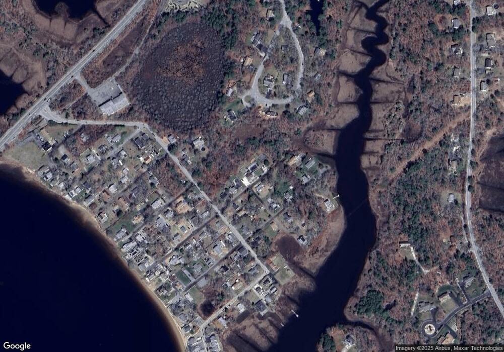
Map
Nearby Homes
- 14 Briarwood Dr
- 12 Taft St
- 4 Roosevelt St
- 0 Cromesett Rd (Off) Unit 73385395
- 58 Shady Ln
- 21 Nicholas Dr
- 10 Barnes St
- 21 Bayview St
- 929 Point Rd
- 20 Grant St
- 43 Shore Ave
- 233 Marion Rd
- 6 Allen Ave
- 15 Broadmarsh Ave
- 0 Cross Neck Rd Unit 73420524
- 0 Cross Neck Rd Unit 73466177
- 0 Cross Neck Rd Unit 73420525
- 10 Longmeadow Dr
- 245 Wareham Rd
- 4 Blackhall Ct
Your Personal Tour Guide
Ask me questions while you tour the home.