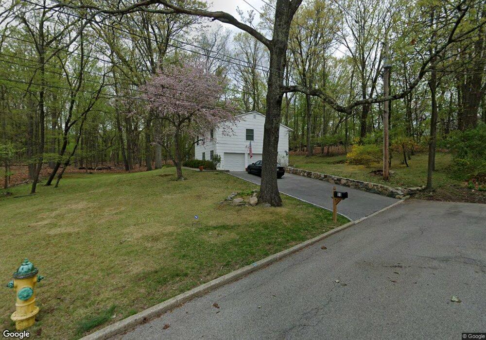
11 Locust Rd Ossining, NY 10562
North Ossining NeighborhoodEstimated Value: $738,000 - $808,000
6
Beds
2
Baths
1,747
Sq Ft
$438/Sq Ft
Est. Value
About This Home
This home is located at 11 Locust Rd, Ossining, NY 10562 and is currently estimated at $764,548, approximately $437 per square foot. 11 Locust Rd is a home located in Westchester County with nearby schools including Park School, Claremont School, and Brookside Elementary School.
Ownership History
Date
Name
Owned For
Owner Type
Purchase Details
Closed on
Feb 12, 2025
Sold by
Forsyth Marie
Bought by
Marie Forsyth 2025 Trust and Forsyth
Current Estimated Value
Purchase Details
Closed on
May 3, 2007
Sold by
Forsyth Marie and Lorenzut Sylvio
Bought by
Forsyth Marie
Purchase Details
Closed on
Nov 12, 2003
Sold by
Forsyth Al and Forsyth Marie
Bought by
Lorenzut Sylvio and Forsyth Marie
Create a Home Valuation Report for This Property
The Home Valuation Report is an in-depth analysis detailing your home's value as well as a comparison with similar homes in the area
Home Values in the Area
Average Home Value in this Area
Purchase History
| Date | Buyer | Sale Price | Title Company |
|---|---|---|---|
| Marie Forsyth 2025 Trust | -- | Fidelity National Title | |
| Forsyth Marie | -- | None Available | |
| Lorenzut Sylvio | -- | -- |
Source: Public Records
Tax History
| Year | Tax Paid | Tax Assessment Tax Assessment Total Assessment is a certain percentage of the fair market value that is determined by local assessors to be the total taxable value of land and additions on the property. | Land | Improvement |
|---|---|---|---|---|
| 2024 | $11,191 | $520,000 | $187,000 | $333,000 |
| 2023 | $10,642 | $482,400 | $187,000 | $295,400 |
| 2022 | $10,428 | $438,900 | $187,000 | $251,900 |
| 2021 | $12,886 | $395,500 | $187,000 | $208,500 |
| 2020 | $13,164 | $395,500 | $187,000 | $208,500 |
| 2019 | $12,967 | $392,400 | $207,700 | $184,700 |
| 2018 | $12,908 | $392,400 | $207,700 | $184,700 |
| 2017 | $7,734 | $388,600 | $207,700 | $180,900 |
| 2016 | $140,458 | $381,000 | $207,700 | $173,300 |
| 2015 | $11,635 | $20,825 | $6,400 | $14,425 |
| 2014 | $11,635 | $22,400 | $6,400 | $16,000 |
| 2013 | $11,635 | $22,400 | $6,400 | $16,000 |
Source: Public Records
Map
Nearby Homes
- 13 Reeback Dr
- 11 Knollwood Dr
- 47 Stormytown Rd
- 126 Whitetail Cir
- 14 Steven Dr
- 113 Antler Ridge Unit 113
- 283 Horse Shoe Cir
- 15 Steven Dr Unit 4
- 2 Briarcliff Dr S Unit 3
- 7 Briarcliff Dr S Unit 13
- 70 Cedar Ln
- 8 Hudson Watch Dr
- 14 Pond View Ln
- 41 Croton Dam Rd
- 63 Cedar Ln
- 200 Route 9a
- 9 Gualtiere Ln
- 7 Hawkes Ave
- 7 Grandview Ave
- 101 Eagle Bay Dr Unit 101
- 16 Reeback Dr
- 5 Locust Rd
- 8 Locust Rd
- 17 White Birch Dr
- 19 White Birch Dr
- 12 Reeback Dr
- 15 White Birch Dr
- 6 Locust Rd
- 400 Executive Blvd
- 13 White Birch Dr
- 10 Reeback Dr
- 4 Locust Rd
- 2 Aspen Ct
- 11 White Birch Dr
- 16 White Birch Dr
- 14 White Birch Dr
- 8 Reeback Dr
- 9 White Birch Dr
- 8A Knollwood Dr
- 8 Knollwood Dr