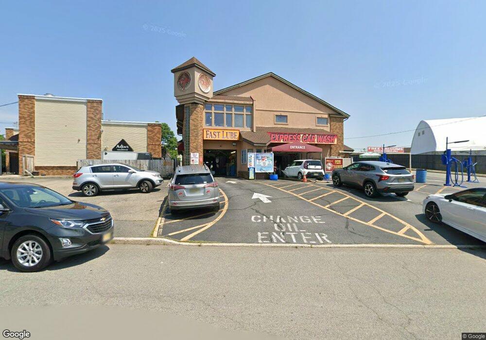
11 Locust St Pompton Lakes, NJ 07442
--
Bed
--
Bath
5,000
Sq Ft
0.25
Acres
About This Home
This home is located at 11 Locust St, Pompton Lakes, NJ 07442. 11 Locust St is a home located in Passaic County with nearby schools including Pompton Lakes High School and St Marys School.
Ownership History
Date
Name
Owned For
Owner Type
Purchase Details
Closed on
Dec 22, 2021
Sold by
Samson Holdings Llc
Bought by
Bergen Mtm Llc
Home Financials for this Owner
Home Financials are based on the most recent Mortgage that was taken out on this home.
Original Mortgage
$1,900,000
Outstanding Balance
$1,483,772
Interest Rate
2.27%
Mortgage Type
Seller Take Back
Purchase Details
Closed on
Jan 1, 2021
Sold by
Locust Enterprises Llc
Bought by
Samson Holdings Llc
Purchase Details
Closed on
Mar 17, 2014
Sold by
Kit And Jay Llc
Bought by
Locust Enterprises Llc
Purchase Details
Closed on
Mar 12, 2002
Sold by
Vargish George
Bought by
Kay & Jay Llc
Create a Home Valuation Report for This Property
The Home Valuation Report is an in-depth analysis detailing your home's value as well as a comparison with similar homes in the area
Home Values in the Area
Average Home Value in this Area
Purchase History
| Date | Buyer | Sale Price | Title Company |
|---|---|---|---|
| Bergen Mtm Llc | $950,000 | Foundation Title | |
| Samson Holdings Llc | -- | None Available | |
| Locust Enterprises Llc | $500,000 | None Available | |
| Kay & Jay Llc | $700,000 | -- |
Source: Public Records
Mortgage History
| Date | Status | Borrower | Loan Amount |
|---|---|---|---|
| Open | Bergen Mtm Llc | $1,900,000 |
Source: Public Records
Tax History Compared to Growth
Tax History
| Year | Tax Paid | Tax Assessment Tax Assessment Total Assessment is a certain percentage of the fair market value that is determined by local assessors to be the total taxable value of land and additions on the property. | Land | Improvement |
|---|---|---|---|---|
| 2025 | $26,954 | $683,600 | $198,000 | $485,600 |
| 2024 | $26,216 | $683,600 | $198,000 | $485,600 |
| 2022 | $26,018 | $683,600 | $198,000 | $485,600 |
| 2021 | $25,738 | $683,600 | $198,000 | $485,600 |
| 2020 | $25,683 | $683,600 | $198,000 | $485,600 |
| 2019 | $25,081 | $683,600 | $198,000 | $485,600 |
| 2018 | $24,644 | $683,600 | $198,000 | $485,600 |
| 2017 | $20,862 | $300,000 | $123,800 | $176,200 |
| 2016 | $24,073 | $350,000 | $123,800 | $226,200 |
| 2015 | $23,912 | $350,000 | $123,800 | $226,200 |
| 2014 | $24,824 | $374,200 | $123,800 | $250,400 |
Source: Public Records
Map
Nearby Homes
- 434 Ringwood Ave
- 221 Ringwood Ave Unit 12
- 398 Stiles Ct
- 120 Hershfield St
- 88 Hill Ct
- 809 Ringwood Ave
- 30 Federal Hill Rd
- 30 Federal Hill Rd Unit 17
- 68 Mountainside Dr
- 154 Mountainside Dr
- 233 Romain Ave
- 238 Van Ave
- 120 Pompton Ave
- 309 Lakeside Ave
- 15 Spruce Rd
- 26 James Terrace
- 6 Center St
- 425 Broadway
- 48 Post Ln
- 30 Schuyler Ave
- 435 Ringwood Ave Unit 1-4
- 435 Ringwood Ave
- 431 Ringwood Ave
- 433 Ringwood Ave
- 464 Ringwood Ave Unit 2
- 425 Ringwood Ave
- 402 Ringwood Ave
- 10 Grove St
- 585 Ringwood Ave
- 422 Ringwood Ave Unit A208
- 422 Ringwood Ave Unit 103
- 422 Ringwood Ave Unit 118
- 422 Ringwood Ave Unit 110
- 422 Ringwood Ave Unit 106
- 422 Ringwood Ave Unit C214
- 422 Ringwood Ave Unit 204
- 422 Ringwood Ave Unit B216
- 422 Ringwood Ave Unit B216
- 422 Ringwood Ave Unit C208
- 422 Ringwood Ave Unit C108