11 Log Rd Lake Hopatcong, NJ 07849
Estimated Value: $703,000 - $825,000
--
Bed
--
Bath
2,326
Sq Ft
$317/Sq Ft
Est. Value
About This Home
This home is located at 11 Log Rd, Lake Hopatcong, NJ 07849 and is currently estimated at $737,051, approximately $316 per square foot. 11 Log Rd is a home located in Morris County with nearby schools including Jefferson Township Middle School and Jefferson Township High School.
Ownership History
Date
Name
Owned For
Owner Type
Purchase Details
Closed on
Oct 29, 2002
Sold by
Coveney Construction
Bought by
Hart James and Hart Cheryl Vos
Current Estimated Value
Home Financials for this Owner
Home Financials are based on the most recent Mortgage that was taken out on this home.
Original Mortgage
$274,400
Outstanding Balance
$115,018
Interest Rate
6.03%
Estimated Equity
$622,033
Create a Home Valuation Report for This Property
The Home Valuation Report is an in-depth analysis detailing your home's value as well as a comparison with similar homes in the area
Home Values in the Area
Average Home Value in this Area
Purchase History
| Date | Buyer | Sale Price | Title Company |
|---|---|---|---|
| Hart James | $324,805 | -- |
Source: Public Records
Mortgage History
| Date | Status | Borrower | Loan Amount |
|---|---|---|---|
| Open | Hart James | $274,400 |
Source: Public Records
Tax History Compared to Growth
Tax History
| Year | Tax Paid | Tax Assessment Tax Assessment Total Assessment is a certain percentage of the fair market value that is determined by local assessors to be the total taxable value of land and additions on the property. | Land | Improvement |
|---|---|---|---|---|
| 2025 | $12,251 | $408,100 | $136,900 | $271,200 |
| 2024 | $11,941 | $408,100 | $136,900 | $271,200 |
| 2023 | $11,941 | $408,100 | $136,900 | $271,200 |
| 2022 | $11,402 | $408,100 | $136,900 | $271,200 |
| 2021 | $11,402 | $408,100 | $136,900 | $271,200 |
| 2020 | $11,211 | $408,100 | $136,900 | $271,200 |
| 2019 | $10,985 | $399,600 | $135,600 | $264,000 |
| 2018 | $10,829 | $388,400 | $130,400 | $258,000 |
| 2017 | $10,696 | $376,900 | $131,300 | $245,600 |
| 2016 | $10,261 | $381,600 | $131,300 | $250,300 |
| 2015 | $11,475 | $416,800 | $162,200 | $254,600 |
| 2014 | $11,423 | $419,500 | $162,200 | $257,300 |
Source: Public Records
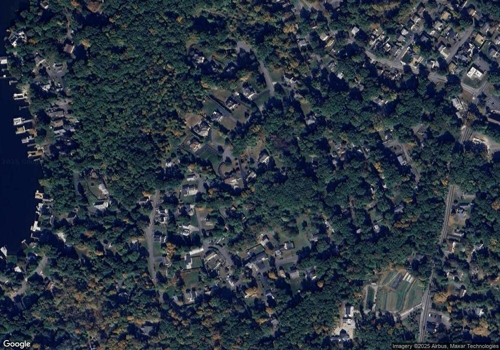
Map
Nearby Homes
- 40 Castle Rock Rd
- 9 Millburn Rd
- 15 Castle Rock Rd
- 62 Nolans Point Park Rd
- 67 Nolans Point Rd
- 58 E Shore Rd
- 40 Playhouse Park
- 13 Stonehenge Rd
- 6 Orchard Rd
- 31 Cove Rd
- 280 Espanong Rd
- 172 Espanong Rd
- 176 Espanong Rd
- 174 Espanong Rd
- 15 Benedict Dr
- 6 Halsey Island
- 221 S New Jersey Ave
- 0 S Lakeside Ave
- 16 Windjammer Dr
- 1 Spinnaker Way