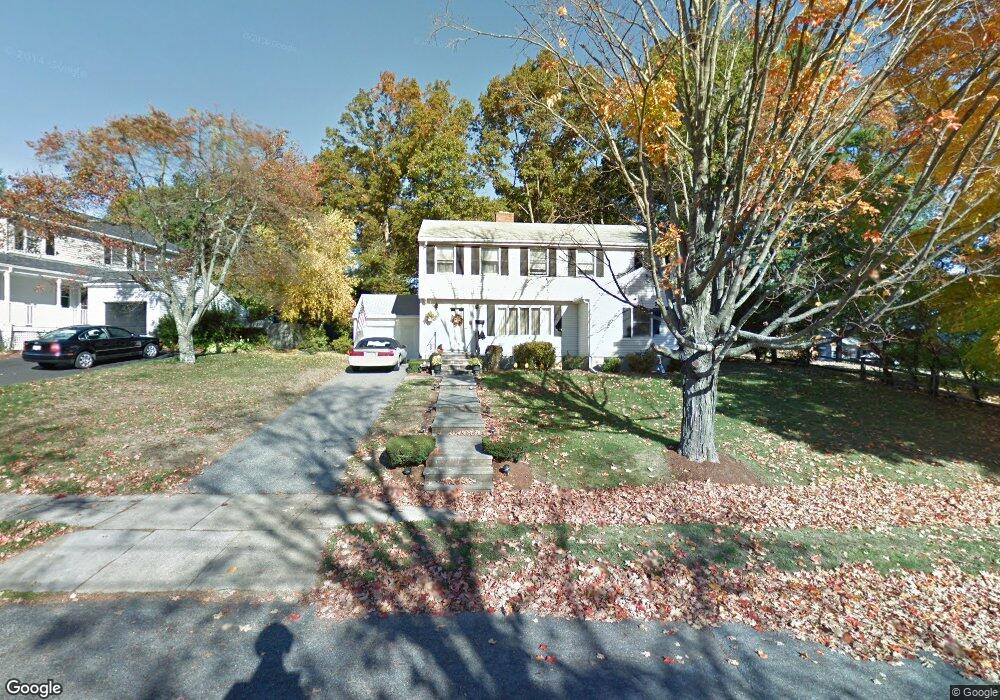
11 Lothrop Rd Reading, MA 01867
Estimated Value: $1,089,036 - $1,238,000
4
Beds
2
Baths
2,775
Sq Ft
$410/Sq Ft
Est. Value
About This Home
This home is located at 11 Lothrop Rd, Reading, MA 01867 and is currently estimated at $1,138,259, approximately $410 per square foot. 11 Lothrop Rd is a home located in Middlesex County with nearby schools including Alice M. Barrows Elementary School, Walter S. Parker Middle School, and Reading Memorial High School.
Create a Home Valuation Report for This Property
The Home Valuation Report is an in-depth analysis detailing your home's value as well as a comparison with similar homes in the area
Home Values in the Area
Average Home Value in this Area
Tax History
| Year | Tax Paid | Tax Assessment Tax Assessment Total Assessment is a certain percentage of the fair market value that is determined by local assessors to be the total taxable value of land and additions on the property. | Land | Improvement |
|---|---|---|---|---|
| 2025 | $10,486 | $920,600 | $509,200 | $411,400 |
| 2024 | $10,364 | $884,300 | $489,100 | $395,200 |
| 2023 | $10,041 | $797,500 | $441,000 | $356,500 |
| 2022 | $9,667 | $725,200 | $400,900 | $324,300 |
| 2021 | $9,367 | $678,300 | $384,200 | $294,100 |
| 2020 | $9,005 | $645,500 | $365,600 | $279,900 |
| 2019 | $8,753 | $615,100 | $348,200 | $266,900 |
| 2018 | $8,022 | $580,100 | $328,400 | $251,700 |
| 2017 | $7,679 | $547,300 | $309,800 | $237,500 |
| 2016 | $7,234 | $498,900 | $279,800 | $219,100 |
| 2015 | $6,983 | $475,000 | $266,400 | $208,600 |
| 2014 | $6,514 | $441,900 | $247,800 | $194,100 |
Source: Public Records
Map
Nearby Homes
- 16 Munroe Ave
- 101 King St Unit 101
- 18 Talbot Ln Unit 18
- 133 Pine Ridge Rd
- 30 Taylor Dr Unit 3011
- 1 Pennsylvania Ave
- 17 Courtyard Place Unit 17
- 246 Walnut St
- 90 Sunnyside Ave
- 5 Washington St Unit D4
- 5 Washington St Unit A5
- 20 Pinevale Ave
- 2 Inwood Dr Unit 1005
- 313 South St
- 75 Hopkins St
- 241 Main St Unit C3
- 75 Augustus Ct Unit 2003
- 1014 Gazebo Cir Unit 1014
- 6 Callahan Dr
- 8 Callahan Dr
Your Personal Tour Guide
Ask me questions while you tour the home.
