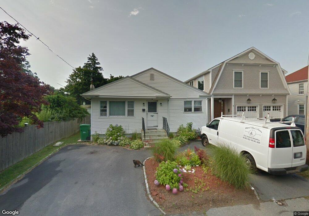
11 Lowndes St Newport, RI 02840
Memorial Boulevard NeighborhoodEstimated Value: $760,543 - $1,183,000
3
Beds
1
Bath
1,494
Sq Ft
$684/Sq Ft
Est. Value
About This Home
This home is located at 11 Lowndes St, Newport, RI 02840 and is currently estimated at $1,021,636, approximately $683 per square foot. 11 Lowndes St is a home located in Newport County with nearby schools including Rogers High School, St Michael's Country Day School, and St George's School.
Ownership History
Date
Name
Owned For
Owner Type
Purchase Details
Closed on
Apr 7, 2004
Sold by
Westrich Janet and Trifero Joseph
Bought by
Hatch Kristin
Current Estimated Value
Home Financials for this Owner
Home Financials are based on the most recent Mortgage that was taken out on this home.
Original Mortgage
$327,750
Interest Rate
5.6%
Mortgage Type
Purchase Money Mortgage
Create a Home Valuation Report for This Property
The Home Valuation Report is an in-depth analysis detailing your home's value as well as a comparison with similar homes in the area
Home Values in the Area
Average Home Value in this Area
Purchase History
| Date | Buyer | Sale Price | Title Company |
|---|---|---|---|
| Hatch Kristin | $345,000 | -- |
Source: Public Records
Mortgage History
| Date | Status | Borrower | Loan Amount |
|---|---|---|---|
| Open | Hatch Kristin | $306,700 | |
| Closed | Hatch Kristin | $327,750 |
Source: Public Records
Tax History Compared to Growth
Tax History
| Year | Tax Paid | Tax Assessment Tax Assessment Total Assessment is a certain percentage of the fair market value that is determined by local assessors to be the total taxable value of land and additions on the property. | Land | Improvement |
|---|---|---|---|---|
| 2025 | $5,047 | $702,900 | $472,800 | $230,100 |
| 2024 | $4,899 | $702,900 | $472,800 | $230,100 |
| 2023 | $4,459 | $449,500 | $309,100 | $140,400 |
| 2022 | $4,320 | $449,500 | $309,100 | $140,400 |
| 2021 | $4,194 | $449,500 | $309,100 | $140,400 |
| 2020 | $4,210 | $409,500 | $239,400 | $170,100 |
| 2019 | $4,210 | $409,500 | $239,400 | $170,100 |
| 2018 | $4,091 | $409,500 | $239,400 | $170,100 |
| 2017 | $3,522 | $314,200 | $171,300 | $142,900 |
| 2016 | $3,434 | $314,200 | $171,300 | $142,900 |
| 2015 | $3,353 | $314,200 | $171,300 | $142,900 |
| 2014 | $3,716 | $308,100 | $145,600 | $162,500 |
Source: Public Records
Map
Nearby Homes
- 5 Lowndes St
- 50 E Bowery St
- 21 Slocum St
- 19 Slocum St
- 26 Freebody St
- 20 Berkeley Ave Unit 2
- 8 Sylvan St
- 10 Ocean Lawn Ln
- 364 Bellevue Ave Unit A1
- 364 Bellevue Ave Unit D7
- 24 Old Beach Rd
- 8 Cottage St Unit 2
- 30 S Baptist St
- 28 Young St
- 60 Prospect Hill St
- 75 Pelham St Unit B
- 30 Brewer St Unit 3
- 62 Dixon St
- 13 Dean Ave
- 50 School St Unit 7
- 9 Lowndes St
- 31 Annandale Rd
- 33 Annandale Rd
- 29 Annandale Rd
- 35 Annandale Rd
- 37 Annandale Rd
- 12 Lowndes St
- 38 Weaver Ave
- 10 Lowndes St
- 23 Annandale Rd
- 0 Dresser St
- 42 Weaver Ave
- 42 Weaver Ave Unit 1
- 42 Weaver Ave Unit 2
- 46 Weaver Ave
- 30 Middleton Ave
- 30 Middleton Ave Unit 2
- 44 Weaver Ave
- 1 Lowndes St
- 48 Weaver Ave