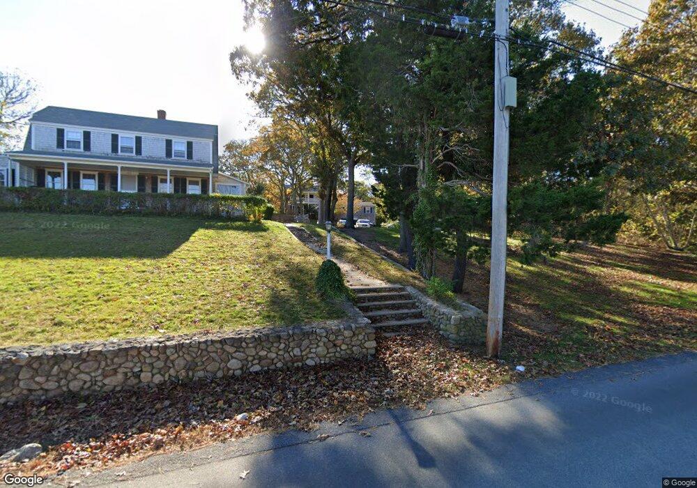
11 Macs Ln Tisbury, MA 02568
Vineyard Haven NeighborhoodEstimated Value: $4,408,059 - $4,618,000
15
Beds
13
Baths
7,250
Sq Ft
$617/Sq Ft
Est. Value
About This Home
This home is located at 11 Macs Ln, Tisbury, MA 02568 and is currently estimated at $4,473,015, approximately $616 per square foot. 11 Macs Ln is a home located in Dukes County with nearby schools including Tisbury Elementary School, Martha's Vineyard Regional High School, and Martha's Vineyard Charter School.
Ownership History
Date
Name
Owned For
Owner Type
Purchase Details
Closed on
Oct 31, 1994
Sold by
Silva Thomas
Bought by
Silva John
Current Estimated Value
Purchase Details
Closed on
May 2, 1994
Sold by
Clancy John P and Clancy Ann M
Bought by
Post Marilyn S and Post William R
Purchase Details
Closed on
Mar 31, 1994
Sold by
Post Marilyn S and Post William R
Bought by
Hse Henrietta Brewer
Create a Home Valuation Report for This Property
The Home Valuation Report is an in-depth analysis detailing your home's value as well as a comparison with similar homes in the area
Home Values in the Area
Average Home Value in this Area
Purchase History
We collect this data history from publicly available records. To have your information removed, we recommend requesting removal directly through your county’s website.
| Date | Buyer | Sale Price | Title Company |
|---|---|---|---|
| Silva John | $41,000 | -- | |
| Silva John A | $41,000 | -- | |
| Post Marilyn S | $70,000 | -- | |
| Hse Henrietta Brewer | $300,000 | -- | |
| Silva John A | $41,000 | -- |
Source: Public Records
Mortgage History
We collect this data history from publicly available records. To have your information removed, we recommend requesting removal directly through your county’s website.
| Date | Status | Borrower | Loan Amount |
|---|---|---|---|
| Open | Hse Henrietta Brewer | $750,000 | |
| Closed | Hse Henrietta Brewer | $700,000 |
Source: Public Records
Tax History
| Year | Tax Paid | Tax Assessment Tax Assessment Total Assessment is a certain percentage of the fair market value that is determined by local assessors to be the total taxable value of land and additions on the property. | Land | Improvement |
|---|---|---|---|---|
| 2025 | $14,813 | $1,956,800 | $560,000 | $1,396,800 |
| 2024 | $15,615 | $1,956,800 | $560,000 | $1,396,800 |
| 2023 | $14,324 | $1,956,800 | $560,000 | $1,396,800 |
| 2022 | $11,583 | $1,331,400 | $350,000 | $981,400 |
| 2021 | $12,209 | $1,331,400 | $350,000 | $981,400 |
| 2020 | $12,422 | $1,331,400 | $350,000 | $981,400 |
| 2019 | $12,345 | $1,346,200 | $350,000 | $996,200 |
| 2018 | $12,722 | $1,346,200 | $350,000 | $996,200 |
| 2017 | $11,649 | $1,278,700 | $336,000 | $942,700 |
| 2016 | $11,713 | $1,278,700 | $336,000 | $942,700 |
| 2015 | $11,406 | $1,278,700 | $336,000 | $942,700 |
Source: Public Records
Map
Nearby Homes
- 124 Skiff Ave Unit C-12
- 124 Skiff Ave Unit A-11
- 21 Davis St
- 187 Lagoon Pond Rd
- 35 Mount Aldworth Rd
- 33 Lagoon Pond Rd
- 237 Lagoon Pond Rd
- 4 Lagoon Pond Rd
- 27 Spring St
- 70 Spring St
- 20 Union St Unit C
- 26 Union St Unit 7
- 94 Weaver Ln
- 57 Hines Point Rd
- 95 Hines Point Rd
- 5A2.12 State Rd
- 54 Amelias Crossing
- 139 Main St
- 21 Woodlawn Ave
- 39 Ferro Way
- 124 Skiff Ave Unit 11-A
- 124 Skiff Ave Unit F10
- 124 Skiff Ave Unit H-11
- 124 Skiff Ave Unit C-11
- 124 Skiff Ave Unit B-12
- 124 Skiff Ave Unit G10
- 124 Skiff Ave Unit C-1
- 124 Skiff Ave Unit E10
- 124 Skiff Ave Unit H-20
- 124 Skiff Ave Unit G-11
- 124 Skiff Ave Unit B-11
- 124 Skiff Ave Unit H-21
- 124 Skiff Ave Unit H-10
- 124 Skiff Ave Unit C-10
- 124 Skiff Ave Unit D-20
- 124 Skiff Ave Unit B-14
- 124 Skiff Ave Unit B-13
- 124 Skiff Ave Unit B-10
- 124 Skiff Ave Unit A-20
- 124 Skiff Ave Unit A-21
Your Personal Tour Guide
Ask me questions while you tour the home.