11 Mansel Dr Reisterstown, MD 21136
Falls Road Corridor NeighborhoodEstimated Value: $873,677 - $1,082,000
--
Bed
3
Baths
3,104
Sq Ft
$315/Sq Ft
Est. Value
About This Home
This home is located at 11 Mansel Dr, Reisterstown, MD 21136 and is currently estimated at $978,169, approximately $315 per square foot. 11 Mansel Dr is a home located in Baltimore County with nearby schools including Fort Garrison Elementary School, Pikesville Middle School, and Owings Mills High School.
Ownership History
Date
Name
Owned For
Owner Type
Purchase Details
Closed on
Jun 27, 2007
Sold by
Strouse David M
Bought by
Strouse Lisa J W
Current Estimated Value
Purchase Details
Closed on
May 31, 2007
Sold by
Strouse David M
Bought by
Strouse Lisa J W
Purchase Details
Closed on
Feb 19, 2002
Sold by
Kane Patrick F
Bought by
Strouse David M and Strouse Lisa J W
Purchase Details
Closed on
Feb 13, 1998
Sold by
Nvr Homes Inc
Bought by
Kane Patrick F and Kane Nancy G
Purchase Details
Closed on
Nov 24, 1997
Sold by
Stone Ridge Inc
Bought by
Nvr Homes Inc
Create a Home Valuation Report for This Property
The Home Valuation Report is an in-depth analysis detailing your home's value as well as a comparison with similar homes in the area
Home Values in the Area
Average Home Value in this Area
Purchase History
| Date | Buyer | Sale Price | Title Company |
|---|---|---|---|
| Strouse Lisa J W | -- | -- | |
| Strouse Lisa J W | -- | -- | |
| Strouse David M | $490,000 | -- | |
| Kane Patrick F | $454,050 | -- | |
| Nvr Homes Inc | $154,000 | -- |
Source: Public Records
Tax History Compared to Growth
Tax History
| Year | Tax Paid | Tax Assessment Tax Assessment Total Assessment is a certain percentage of the fair market value that is determined by local assessors to be the total taxable value of land and additions on the property. | Land | Improvement |
|---|---|---|---|---|
| 2025 | $7,685 | $654,900 | $209,200 | $445,700 |
| 2024 | $7,685 | $632,033 | $0 | $0 |
| 2023 | $3,722 | $609,167 | $0 | $0 |
| 2022 | $7,101 | $586,300 | $209,200 | $377,100 |
| 2021 | $7,166 | $586,300 | $209,200 | $377,100 |
| 2020 | $7,166 | $586,300 | $209,200 | $377,100 |
| 2019 | $7,384 | $604,300 | $209,200 | $395,100 |
| 2018 | $7,311 | $598,233 | $0 | $0 |
| 2017 | $7,116 | $592,167 | $0 | $0 |
| 2016 | $6,702 | $586,100 | $0 | $0 |
| 2015 | $6,702 | $575,900 | $0 | $0 |
| 2014 | $6,702 | $565,700 | $0 | $0 |
Source: Public Records
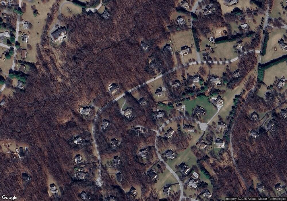
Map
Nearby Homes
- LOT 1 Landens Ridge Unit RAINIER
- 12229 Dover Rd
- 12602 Barto Ln
- 2410 Greenspring Ave
- 2201 Knox Ave
- 2407 Greenspring Ave
- 2414 Greenspring Ave
- 2415 Greenspring Ave
- 2417 Greenspring Ave
- 2416 Greenspring Ave
- 2511 Chestnut Woods Ct
- 2421 Greenspring Ave
- 3133 Blendon Rd
- 3137 Blendon Rd
- 3116 Blendon Rd
- 1915 Billy Barton Cir
- 2610 Chestnut Woods Ct
- 1507 Heather Hill Ln
- 2801 Baublitz Rd
- 12519 Falls Rd
- 15 Mansel Dr
- 12308 Highgrove Ct
- 9 Mansel Dr
- 12306 Highgrove Ct
- 16 Mansel Dr
- 14 Mansel Dr
- 7 Mansel Dr
- 17 Mansel Dr
- 12307 Highgrove Ct
- 12304 Highgrove Ct
- 19 Mansel Dr
- 18 Mansel Dr
- 12309 Highgrove Ct
- 12 Mansel Dr
- 5 Mansel Dr
- 12305 Highgrove Ct
- 12312 Highgrove Ct
- 21 Mansel Dr
- 4 Ashgrown Way
- 10 Mansel Dr